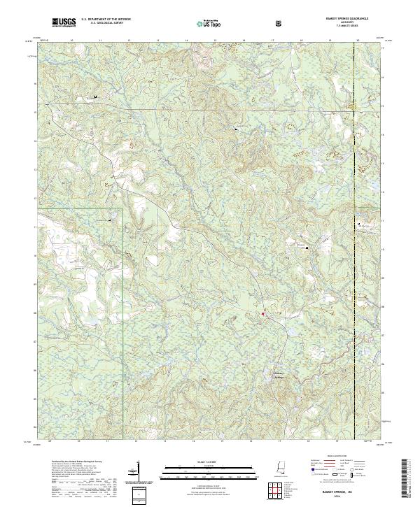
2024 Map of Ramsey Springs
USGS Topo · Published 2024About this map
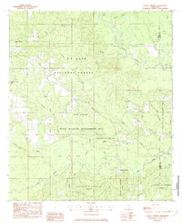
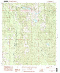
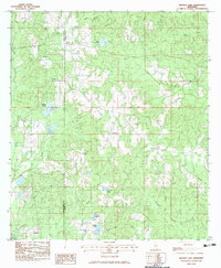
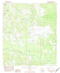
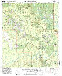
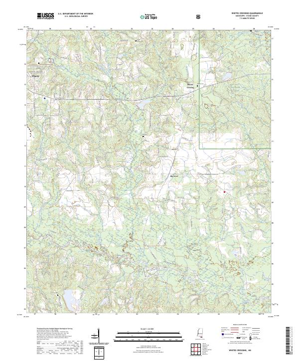
Ramsey Springs serves as a quiet focal point within the densely wooded drainage basins of south Mississippi. The landscape is defined by the expansive De Soto National Forest, where a network of forest roads and historic tracks cross numerous waterways such as Bluff Creek and Red Creek. The area’s settlement history is preserved through scattered family and community burial grounds, including Moore Cem, Alexander Cem, and the Wittington Cem near the eastern boundary. The intricate hydrography of Double Branch and Abbot Branch feeding into larger systems illustrates the wet, low-lying character of this timberland region. Rural infrastructure is represented by roads like Miles Cemetery Rd and Parker Bridge Rd, which trace the legacy of local connectivity through the pine forests and creek bottoms of Stone and George Counties.
Find a feature on this map
56 named features on this map. Tap any name to fly to it.
Don’t see what you’re looking for? This feature index may not catch every label — zoom into the map to look around manually.
Map Details
Editions of this 2024 Ramsey Springs Map
This is the sole edition of this map. No revisions or reprints were ever made.
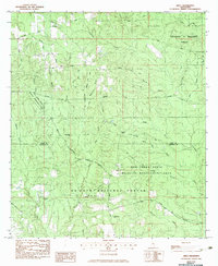
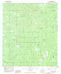
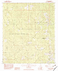
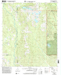
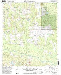
Historical Maps of Ramsey Springs Through Time
17 maps found
1982 Airey
Stone County, MS
1982 Beatrice
Stone County, MS
1982 McHenry
Stone County, MS
1982 Ramsey Springs
Stone County, MS
1982 Silver Run
Stone County, MS
1983 Browns Lake
Stone County, MS
1983 Whites Crossing
Stone County, MS
2000 Ramsey Springs
Stone County, MS
2000 Silver Run
Stone County, MS
2000 Whites Crossing
Stone County, MS
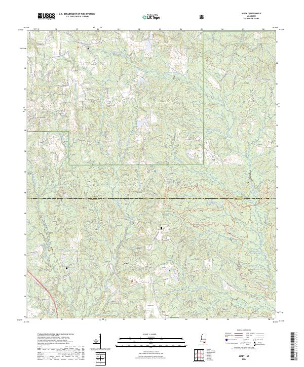
2024 Airey
Stone County, MS
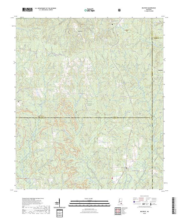
2024 Beatrice
Stone County, MS
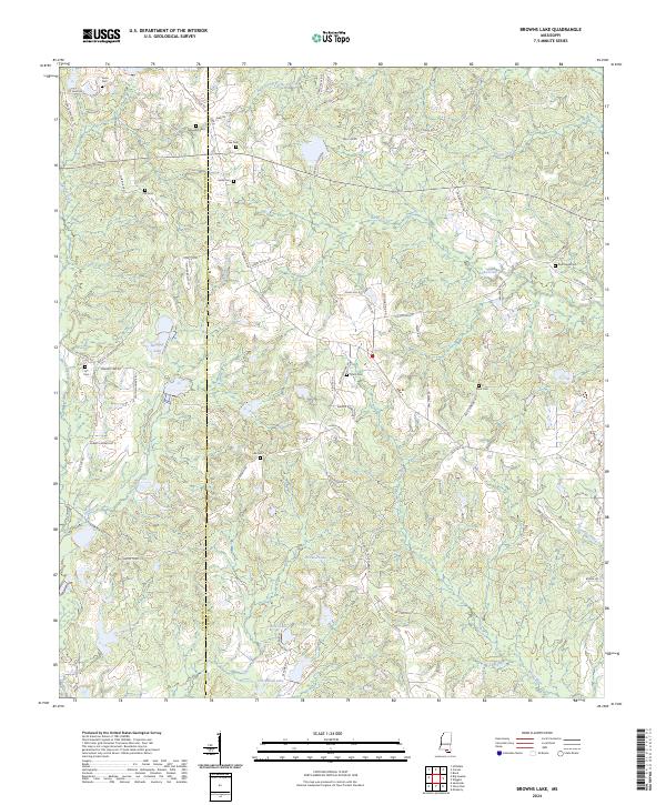
2024 Browns Lake
Stone County, MS
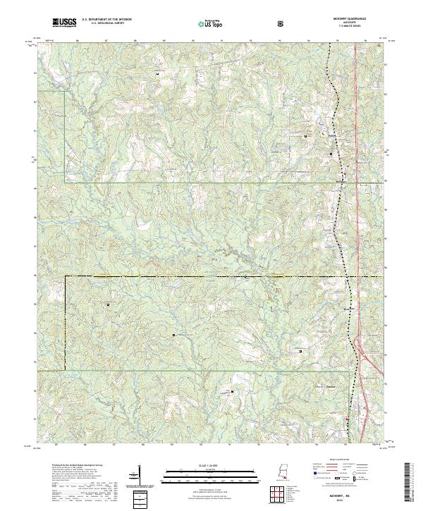
2024 McHenry
Stone County, MS
2024 Ramsey Springs
Stone County, MS
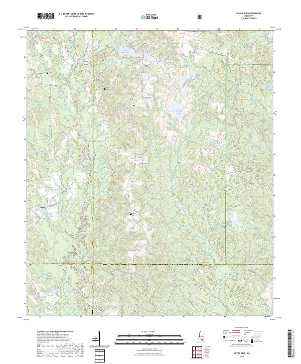
2024 Silver Run
Stone County, MS
2024 Whites Crossing
Stone County, MS