2020s Maps of Tishomingo County, Mississippi
Explore 26 historic maps of Tishomingo County from the 2020s. These maps offer a rare glimpse into what life looked like during the 2020s — showing old roads, neighborhoods, homes, and landmarks that have changed or disappeared over time.
Whether you're researching your family's past, planning a metal detecting trip, or studying how Tishomingo County's landscape evolved across the 2020s, these high-resolution maps are a powerful tool for exploring the history of this region.
- Focus on a specific era: All maps on this page are from the 2020s, giving you a focused view of this time period.
- See what’s changed: Compare century-old streets, trails, and buildings to today's modern landscape using overlays and satellite layers.
- Research with precision: Use these maps for genealogy, historical research, land use analysis, or educational projects.
- View, download, or print: Maps are fully viewable online in high resolution, and can be downloaded or printed for your own records.
Start exploring Tishomingo County's history through authentic maps from the 2020s. This is your window into the past.
Tishomingo County, MS maps
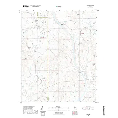
(26)- 2020 Map of Waterloo, 2020 Print
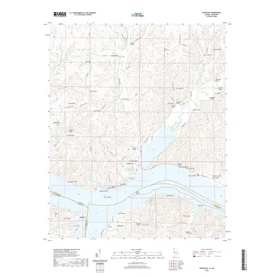 2020 Waterloo2020 Print · USGSCovers Tishomingo County, including Waterloo, Riverton, and other nearby areas
 - 2020 Map of Red Bay, 2020 Print
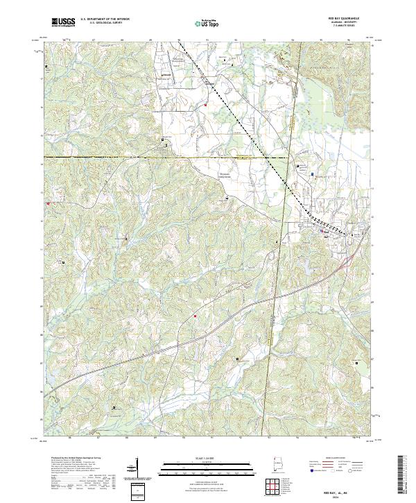
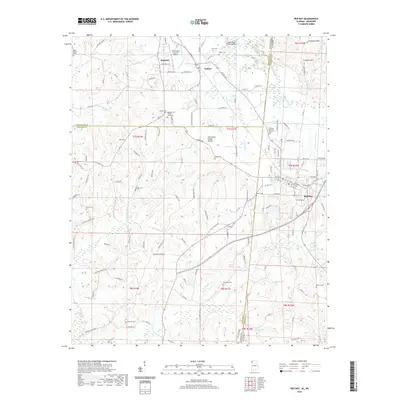 2020 Red Bay2020 Print · USGSCovers Tishomingo County, including Red Bay, Belmont, and other nearby areas
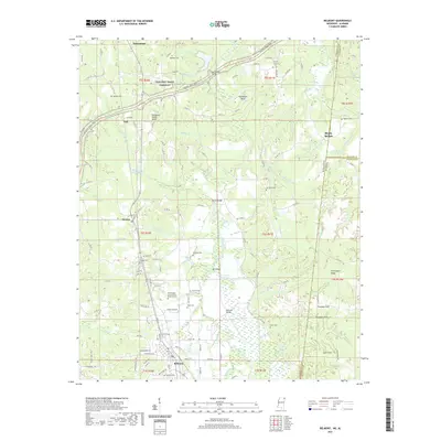
 - 2020 Map of Bishop, 2020 Print
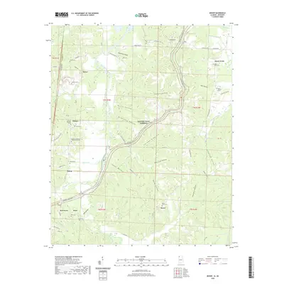 2020 Bishop2020 Print · USGSCovers Tishomingo County, including Bishop, Mynot, and other nearby areas
 - 2020 Map of Margerum, 2020 Print
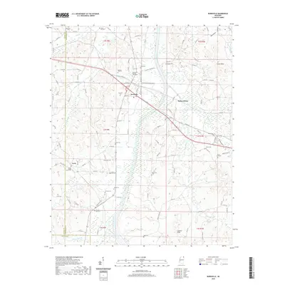
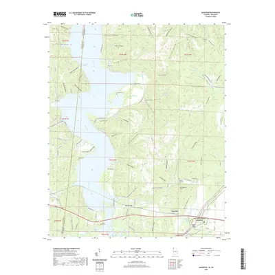 2020 Margerum2020 Print · USGSCovers Tishomingo County, including Chisca, Buzzard Roost, and other nearby areas
 - 2020 Map of Burnsville, 2020 Print
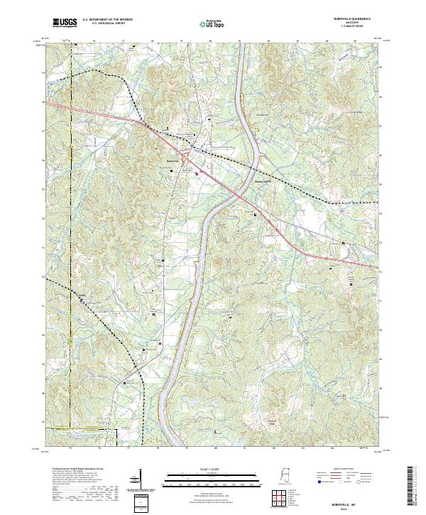
 2020 Burnsville2020 Print · USGSCovers Tishomingo County, including Burnsville, Walker Siding, and other nearby areas
 - 2020 Map of Yellow Creek, 2020 Print
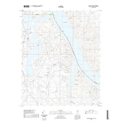 2020 Yellow Creek2020 Print · USGSCovers Tishomingo County, including Cooks Landing, High Point, and other nearby areas
 - 2020 Map of Doskie, 2020 Print
 2020 Doskie2020 Print · USGSCovers Tishomingo County, including Pine Flat, Cross Roads, and other nearby areas
 - 2020 Map of Iuka, 2020 Print
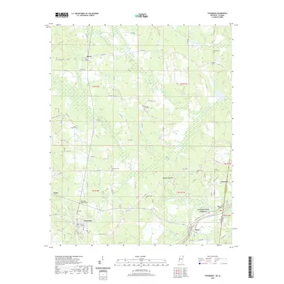
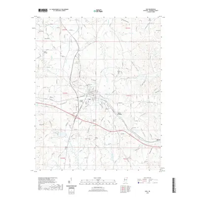 2020 Iuka2020 Print · USGSCovers Tishomingo County, including Iuka, Bacon Springs, and other nearby areas
 - 2020 Map of Fulton NE, 2020 Print
 2020 Fulton NE2020 Print · USGSCovers Tishomingo County, including Moores Mill, Prentiss County, and other nearby areas
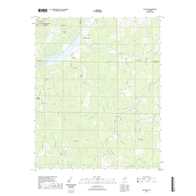
 - 2020 Map of Tishomingo, 2020 Print
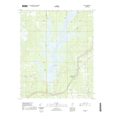
 2020 Tishomingo2020 Print · USGSCovers Tishomingo County, including Tishomingo, Paden, and other nearby areas
 - 2021 Map of Belmont, 2021 Print
 2021 Belmont2021 Print · USGSCovers Tishomingo County, including Belmont, Dennis, and other nearby areas
 - 2021 Map of Paden, 2021 Print
 2021 Paden2021 Print · USGSCovers Tishomingo County, including Paden, Holcut, and other nearby areas
 - 2021 Map of Paden SE, 2021 Print
 2021 Paden SE2021 Print · USGSCovers Tishomingo County, including East Prentiss, Prentiss County, and other nearby areas
 - 2024 Map of Paden, 2024 Print
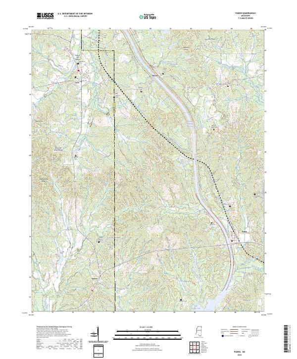 2024 Paden2024 Print · USGSThe Tishomingo County hill country comes into focus in this recent survey, showcasing the monumental Tennessee Tombigbee Waterway near Paden. Researchers can locate several family burial grounds like the Callicot Family Cem and the Stephens Cem near Bay Springs Lake.
 - 2024 Map of Paden SE, 2024 Print
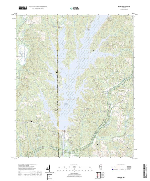 2024 Paden SE2024 Print · USGSTishomingo and Prentiss counties are shown here in the modern era, centered on the engineering of the Tennessee-Tombigbee Waterway. Genealogists can locate numerous family burial sites including Piney Grove Cem, Jackson Camp Cem, and Old Mackeys Creek Cem.
 - 2024 Map of Bishop, 2024 Print
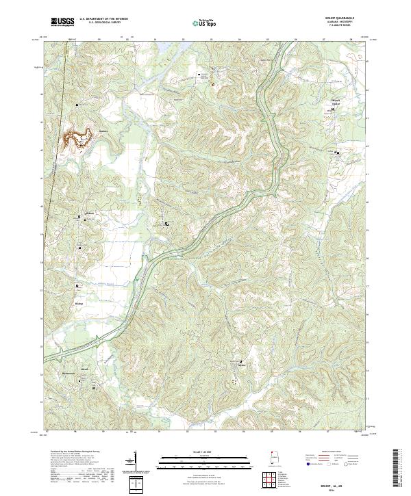 2024 Bishop2024 Print · USGSColbert County’s borderlands near the Mississippi line are captured here, centered on the rural communities of Allsboro and Maud. Researchers can locate numerous family burial grounds including Maud Burns Cem and the Elizabeth Gist Cem tucked into the hollows.
 - 2024 Map of Red Bay, 2024 Print
 2024 Red Bay2024 Print · USGSThe Alabama-Mississippi state line comes alive in this 2024 survey of the Red Bay and Belmont area. Researchers can trace family history through numerous sites like Burges Cem African American and New Bethel Cem or explore the terrain of the Freedom Hills.
 - 2024 Map of Margerum, 2024 Print
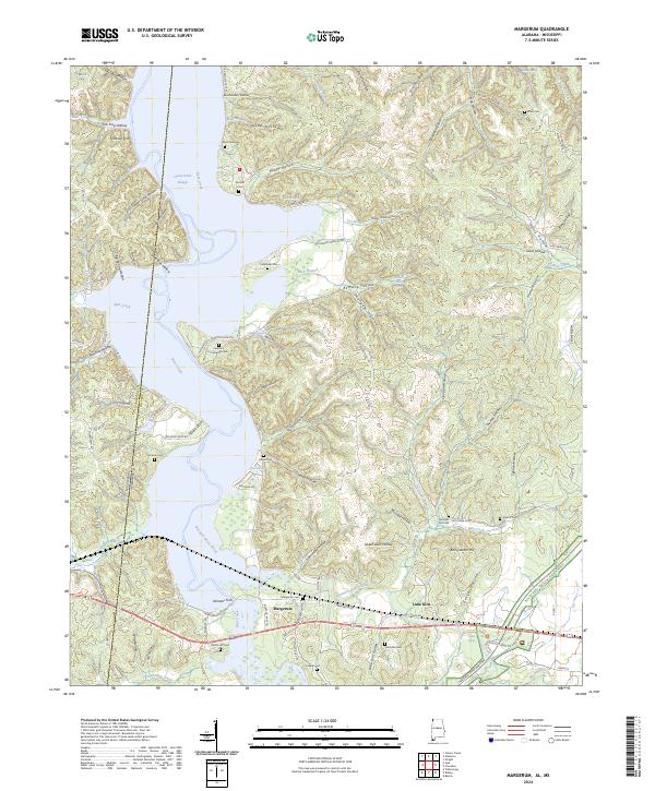 2024 Margerum2024 Print · USGSThe Alabama-Mississippi borderlands come into focus in this contemporary survey of the Bear Creek valley. Researchers can trace numerous family burial sites like Caryton / Cockburn Cem and historic landmarks such as Fishtrap Ford.
 - 2024 Map of Waterloo, 2024 Print
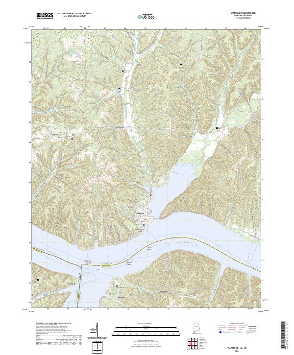 2024 Waterloo2024 Print · USGSThe Tennessee River borderlands near Waterloo are captured here in the early twenty-first century. Genealogists and historians can trace local family legacies through Riverton Ferry, Chickasaw Crossing, and numerous sites like Old Eastport Cem and Richardson Cem.
 - 2024 Map of Yellow Creek, 2024 Print
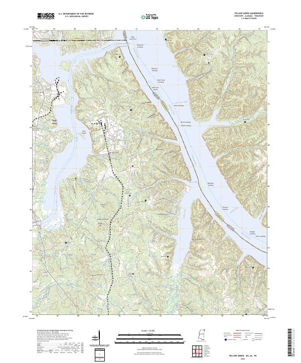 2024 Yellow Creek2024 Print · USGSThe tri-state border region of Mississippi, Alabama, and Tennessee is shown here in the 2020s, dominated by the Tennessee-Tombigbee Waterway. Researchers can trace generations of local families through numerous small burial sites like Camp Ground Cem and Beall Cem.
 - 2024 Map of Fulton NE, 2024 Print
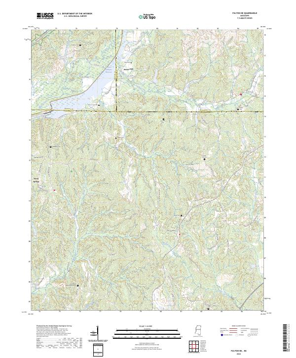 2024 Fulton NE2024 Print · USGSItawamba County at the meeting of three counties in the 2020s shows a landscape defined by the Tennessee-Tombigbee Waterway. Trace family history at Moores Mill or local landmarks like Saucer Creek Cem and Burntfields Baptist Church.
 - 2024 Map of Iuka, 2024 Print
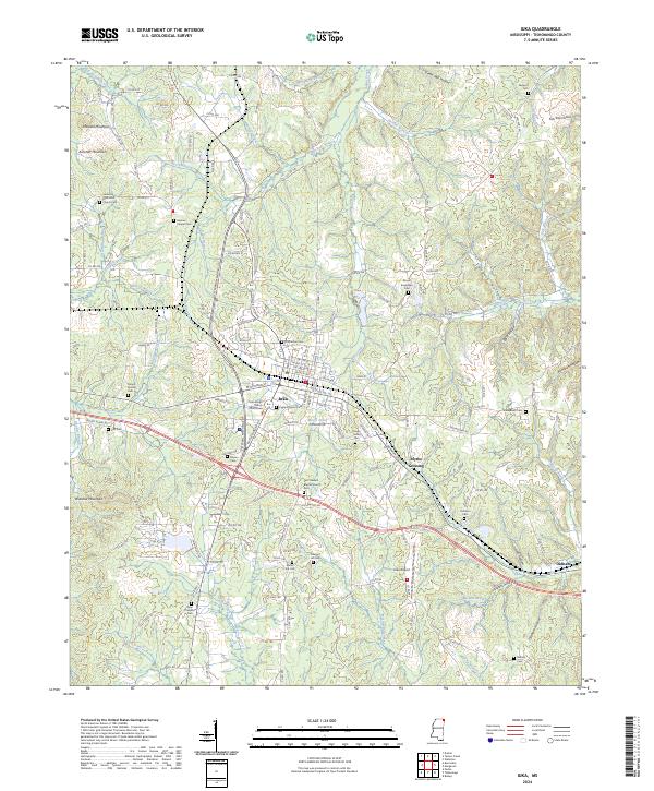 2024 Iuka2024 Print · USGSTishomingo County in the modern era is revealed here as a landscape where the civic center of Iuka meets the highest point in Mississippi. Genealogists and local researchers can pinpoint family landmarks from Woodall Mountain to Eastport Cem and Moores Chapel Cem.
 - 2024 Map of Tishomingo, 2024 Print
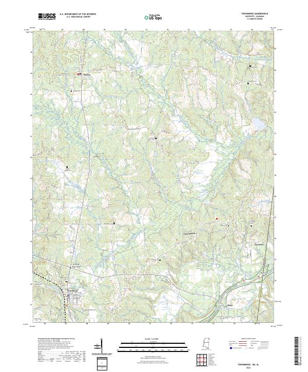 2024 Tishomingo2024 Print · USGSTishomingo County at the Mississippi and Alabama border remains a landscape of historic crossroads and winding creeks. Genealogists can locate family landmarks such as Nunley Cem, Bethlehem Cem, and the community of Petertown near the state line.
 - 2024 Map of Belmont, 2024 Print
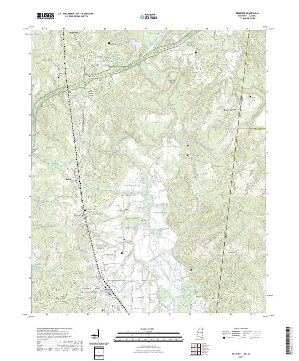 2024 Belmont2024 Print · USGSThe Mississippi-Alabama borderlands come into focus in this contemporary survey of Tishomingo County. Family historians can trace local roots through the Tishomingo County Rural Burial Ground or explore the corridor of the Natchez Trace Parkway.
 - 2024 Map of Burnsville, 2024 Print
 2024 Burnsville2024 Print · USGSNortheast Mississippi at the crossroads of the Tennessee-Tombigbee Waterway reflects a landscape of ridge-top settlements and old family cemeteries. Genealogists can trace roots at Opossum Trot Cem, Rowland Mills Cem, and Harmony Hill Baptist Church.
Showing maps 1-25 of 26
Top cities of Tishomingo County
- Iuka historical maps
- Belmont historical maps
- Burnsville historical maps
- Tishomingo historical maps
- Golden historical maps
- Paden historical maps
Frequently asked questions
- What are the different types of historical maps available for Tishomingo County?
- What is the oldest map of Tishomingo County?
- Where can I purchase historical maps of Tishomingo County for my home or office?
- Where can I download high-res historical maps of Tishomingo County?
- Are there historical topographic maps available for Tishomingo County?
- Is there historical aerial imagery available for Tishomingo County?
- Where are historical maps of Tishomingo County sourced from?