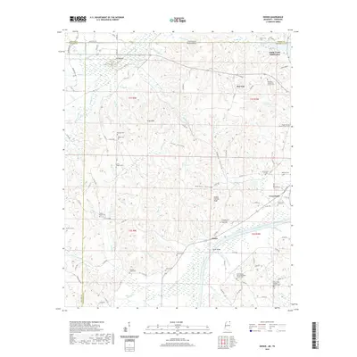
2020 Map of Doskie
USGS Topo · Published 2020About this map
Yellow Creek and its many tributaries, such as Little Yellow Creek and Johnson Branch, dominate this landscape at the border of Mississippi and Tennessee. The area is characterized by a dense network of family and community landmarks, including numerous small cemeteries like Grissom Chapel Cemetery and Robinson Cemetery that serve the rural settlements of Doskie and Cross Roads. This 2020 survey illustrates a region where faith and ancestry remain central, evidenced by the many active congregations such as North Bethel United Methodist Church and New Salem Baptist Church. Unique terrain features like Yankee Charlie Ridge and Scotch Hill rise above the hollows, while Moser Bridge provides a key crossing point over the local waterways. The map also records the presence of the Sandy Creek Subdivision in the north, showing modern residential expansion near the historic Chalybeate Spring.
Find a feature on this map
127 named features on this map. Tap any name to fly to it.
Don’t see what you’re looking for? This feature index may not catch every label — zoom into the map to look around manually.
Map Details
Editions of this 2020 Doskie Map
This is the sole edition of this map. No revisions or reprints were ever made.
Other maps of this area

1911 · Iuka
USGS Topo · 1:48,000

1914 · Iuka
USGS Topo · 1:62,500

1935 · Doskie
USGS Topo · 1:24,000

1935 · Iuka
USGS Topo · 1:24,000

1935 · Leedy
USGS Topo · 1:24,000

1935 · Glens
USGS Topo · 1:24,000

1936 · Counce
USGS Topo · 1:24,000

1936 · Kendrick
USGS Topo · 1:24,000

1936 · Shaws
USGS Topo · 1:24,000

1936 · Pickwick
USGS Topo · 1:24,000