2010s Maps of Tishomingo County, Mississippi
Explore 41 historic maps of Tishomingo County from the 2010s. These maps offer a rare glimpse into what life looked like during the 2010s — showing old roads, neighborhoods, homes, and landmarks that have changed or disappeared over time.
Whether you're researching your family's past, planning a metal detecting trip, or studying how Tishomingo County's landscape evolved across the 2010s, these high-resolution maps are a powerful tool for exploring the history of this region.
- Focus on a specific era: All maps on this page are from the 2010s, giving you a focused view of this time period.
- See what’s changed: Compare century-old streets, trails, and buildings to today's modern landscape using overlays and satellite layers.
- Research with precision: Use these maps for genealogy, historical research, land use analysis, or educational projects.
- View, download, or print: Maps are fully viewable online in high resolution, and can be downloaded or printed for your own records.
Start exploring Tishomingo County's history through authentic maps from the 2010s. This is your window into the past.
Tishomingo County, MS maps
(41)- 2010 Map of Doskie, 2010 Print
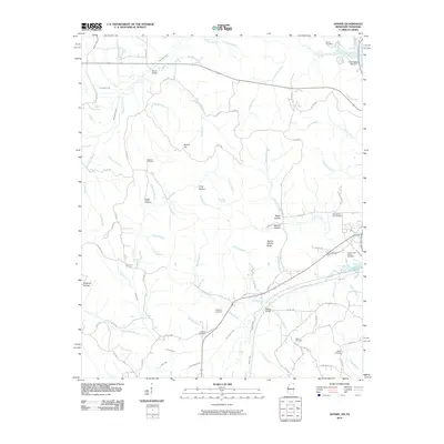 2010 Doskie2010 Print · USGSThe Mississippi and Tennessee state line meets along the upper reaches of Yellow Creek in this 2010 survey. Genealogists and local historians can trace family locations through numerous sites like Lambs Chapel Cemetery, Mulberry Cemetery, and Greenwater Marina.
 - 2010 Map of Yellow Creek, 2010 Print
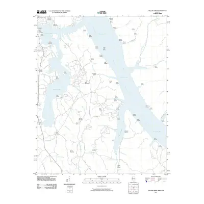 2010 Yellow Creek2010 Print · USGSTishomingo County at the turn of the decade shows a shoreline shaped by industrial transit and lakeside recreation. Genealogists and historians can trace family ties at the Popular Springs Cemetery, Patrick Cemetery, and Short Creek Cemetery.
 - 2011 Map of Waterloo, 2011 Print
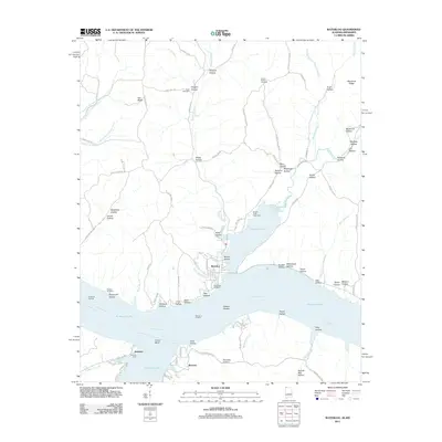 2011 Waterloo2011 Print · USGSWaterloo and Riverton are depicted along the winding shores of the Tennessee River just after the first decade of the new millennium. Researchers can trace local lineage through Richardson Cemetery and Scott Cemetery, or explore river-based landmarks like Eastport Dock and Waterloo Landing.
 - 2011 Map of Margerum, 2011 Print
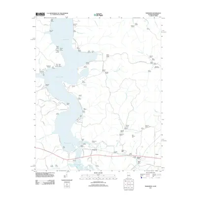 2011 Margerum2011 Print · USGSNorthwestern Alabama and the Mississippi border come alive in this early 21st-century survey of the Pickwick Lake shoreline. Genealogists can trace family sites like Morris Hill Cemetery or Douthit Cemetery and explore the rail history near Margerum and Riverton Junction.
 - 2011 Map of Red Bay, 2011 Print
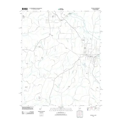 2011 Red Bay2011 Print · USGSThe Alabama-Mississippi border comes into focus in the early twenty-first century, centered on the growing community of Red Bay. Researchers can trace local lineage across dozens of rural landmarks, including New Bethel Cemetery, Bates Lake, and the Tishomingo County Airport.
 - 2011 Map of Bishop, 2011 Print
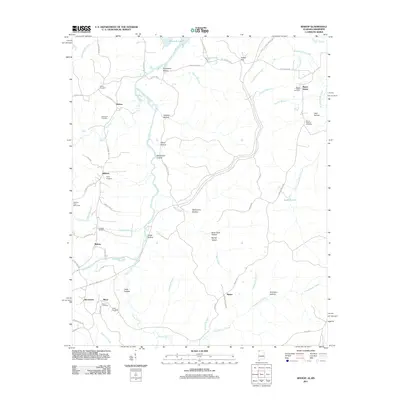 2011 Bishop2011 Print · USGSNorthwest Alabama near the Mississippi border is shown in this detailed look at rural life and landscape. Genealogists can trace family names through numerous burial sites like Twitty Cemetery and Alsobrook Cemetery or locate the Natchez Trace Monument.
 - 2012 Map of Paden, 2012 Print
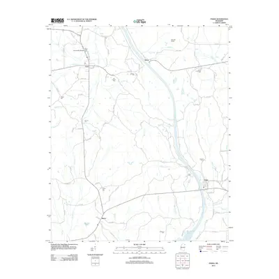 2012 Paden2012 Print · USGSTishomingo County's rural landscape is captured here in the early twenty-first century, centered on the community of Paden. Genealogists can locate family landmarks like New Lebanon Cem, Forked Oak Cem, and Belue Cem tucked among the hills and creek bottoms.
 - 2012 Map of Fulton NE, 2012 Print
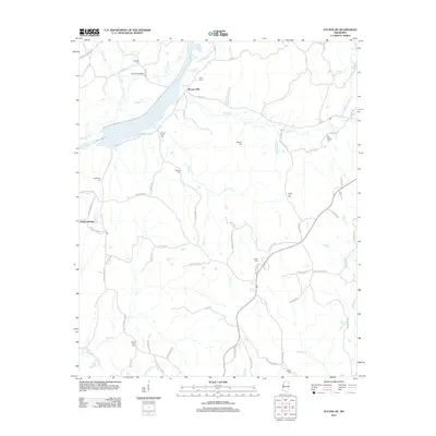 2012 Fulton NE2012 Print · USGSTishomingo County’s rural crossroads and stream valleys are captured here as they appeared in the early twenty-first century. Family history researchers can locate numerous burial sites and small settlements, including Moores Mill, Old Bethel Cem, and the Caveness Bridge.
 - 2012 Map of Iuka, 2012 Print
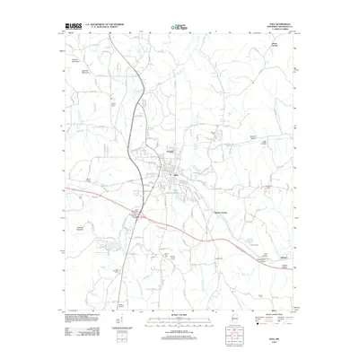 2012 Iuka2012 Print · USGSIuka and the surrounding hills of Tishomingo County are shown in detail during the early twenty-first century. Researchers can trace family history through numerous rural burial grounds like Toenail Cem or locate regional landmarks such as Woodall Mountain and the John M Stone Memorial Marker.
 - 2012 Map of Tishomingo, 2012 Print
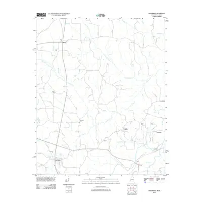 2012 Tishomingo2012 Print · USGSNortheast Mississippi near the Alabama line reveals a landscape of winding creeks and rural settlements in the early twenty-first century. Genealogists and historians can locate numerous burial grounds like Tishomingo Cem and explore the site of the Natchez Trace Monument.
 - 2012 Map of Belmont, 2012 Print
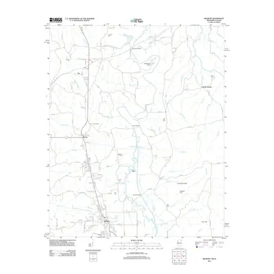 2012 Belmont2012 Print · USGSTishomingo County near the Alabama border appears in detail during the early 2010s, centered on the communities of Belmont and Dennis. Researchers can locate numerous family burial sites like Byram Cemetery and landmarks such as the Dennis Lookout Tower along Bear Creek.
 - 2012 Map of Burnsville, 2012 Print
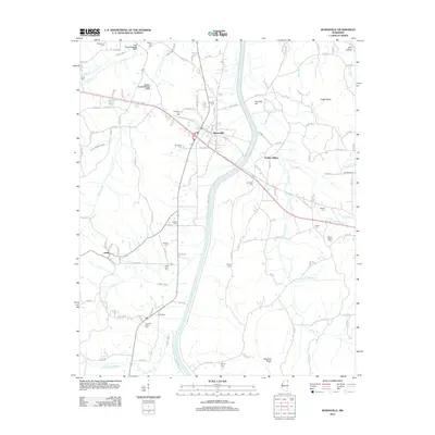 2012 Burnsville2012 Print · USGSTishomingo County at the start of the twenty-first century reveals a landscape where railroad heritage and rural genealogy intersect. Genealogists can trace family names through numerous burial sites like Opossum Trot Cem, Rowland Mills Cem, and Little Flock Cem.
 - 2012 Map of Paden SE, 2012 Print
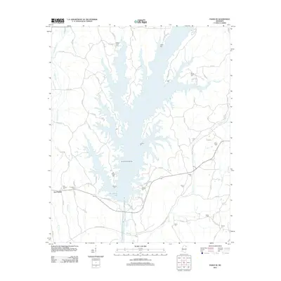 2012 Paden SE2012 Print · USGSPrentiss County in the early twenty-first century is defined by the expansive waters of Bay Springs Lake. Genealogists and local historians can trace family roots through numerous burial sites like Old Mackeys Creek Cem, Cotton Springs Cem, and East Prentiss Cem.
 - 2012 Map of Doskie, 2012 Print
 2012 Doskie2012 Print · USGSThe Mississippi-Tennessee state line comes alive in this survey of the northern Tishomingo County hill country. Genealogists can trace family names through numerous burial sites like Lambs Chapel Cem and Blackard Cem near the settlement of Doskie.
 - 2012 Map of Yellow Creek, 2012 Print
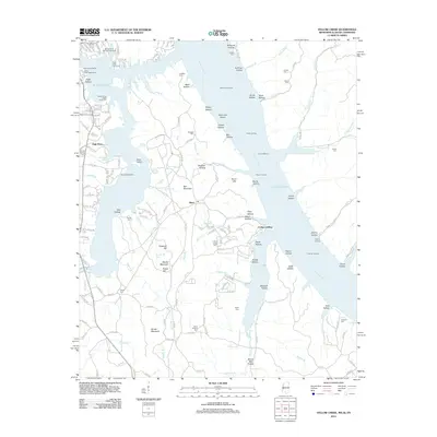 2012 Yellow Creek2012 Print · USGSThe tri-state border where Mississippi, Alabama, and Tennessee meet is centered on the waters of Pickwick Lake in the early 21st century. Genealogists and historians can locate numerous family-named landmarks such as Beall Cem, Bonds Mountain, and Cooks Landing.
 - 2014 Map of Margerum, 2014 Print
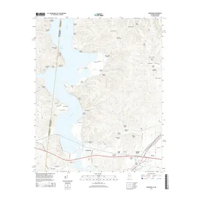 2014 Margerum2014 Print · USGSNorthwest Alabama at the Mississippi border is defined by the winding waters of Bear Creek and the path of the Natchez Trace. Researchers can trace family sites at Morris Hill Cem or Carytown Cem, and explore industrial landmarks like the Lime Kiln near Margerum.
 - 2014 Map of Bishop, 2014 Print
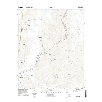 2014 Bishop2014 Print · USGSThe Alabama-Mississippi borderlands come alive in this survey of northwestern Colbert County during the early twenty-first century. Genealogists can locate numerous local landmarks like Alsobrook Cem, Liberty Cem, and the settlement of Allsboro along the winding Bear Creek.
 - 2014 Map of Waterloo, 2014 Print
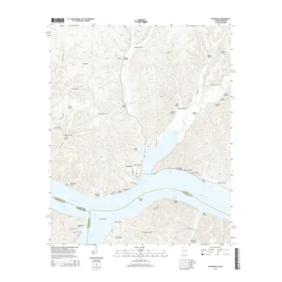 2014 Waterloo2014 Print · USGSThe confluence of the Tennessee River and Bear Creek defines this 2014 survey where Alabama and Mississippi meet. Researchers can trace family history through sites like Richardson Cem and explore the historic river settlements of Waterloo and Eastport.
 - 2014 Map of Red Bay, 2014 Print
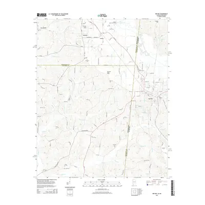 2014 Red Bay2014 Print · USGSThe Alabama-Mississippi borderlands around Red Bay are captured here in the early 2010s, showing a landscape defined by the Tennessee Valley Divide. Researchers can locate numerous family-named landmarks and burial grounds, such as Hillcrest Memorial Gardens, Tharp Cem, and New Bethel Cem.
 - 2015 Map of Paden, 2015 Print
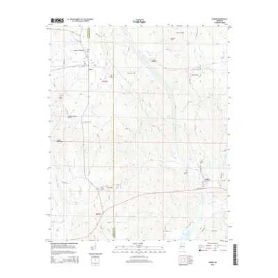 2015 Paden2015 Print · USGSNortheast Mississippi hills and creek bottoms are documented here in the mid-2010s. Genealogists can locate several family and community burial grounds, including New Lebanon Cem, South Crossroads Cem, and Forked Oak Cem.
 - 2015 Map of Belmont, 2015 Print
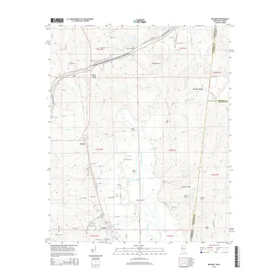 2015 Belmont2015 Print · USGSBelmont and the Tishomingo hills of northeast Mississippi are documented here during the mid-2010s. Researchers can locate numerous local burial sites like Hale Cem and Forest Grove Cem, or trace the path of the Natchez Trace Pkwy.
 - 2015 Map of Fulton NE, 2015 Print
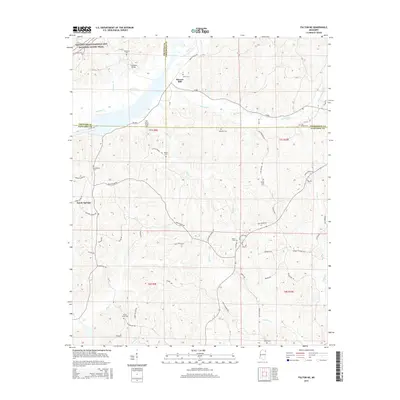 2015 Fulton NE2015 Print · USGSIn the hills where Prentiss, Tishomingo, and Itawamba counties converge, this survey captures the rural landscape of Northeast Mississippi. Genealogists can locate numerous local burying grounds including Saucer Creek Cem and Old Bethel Cem near Moores Mill.
 - 2015 Map of Burnsville, 2015 Print
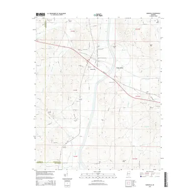 2015 Burnsville2015 Print · USGSTishomingo County at the crossroads of the twenty-first century shows a landscape where quiet rural settlements still define the map. Researchers can trace ancestral locations at Opossum Trot Cem, Leedy, and the old rail stop at Walker Siding.
 - 2015 Map of Doskie, 2015 Print
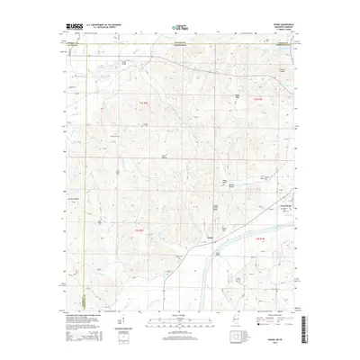 2015 Doskie2015 Print · USGSThe Tennessee-Mississippi borderlands come into focus here during the mid-2010s, revealing a landscape defined by small crossroads and family cemeteries. Genealogists can trace deep local roots at Old Pleasant Hill Cem, Mulberry Cem, and the settlement of Doskie.
 - 2015 Map of Iuka, 2015 Print
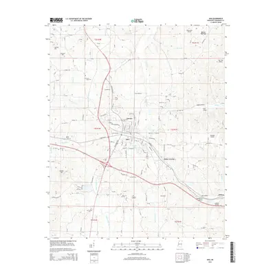 2015 Iuka2015 Print · USGSThe town of Iuka and the surrounding Tishomingo County hills are shown in detail during the mid-2010s. Researchers can locate numerous family burial sites like Toenail Cem and Mount Joy Cem, or trace the rail line through Blythe Crossing and Oldham.
Showing maps 1-25 of 41
Top cities of Tishomingo County
- Iuka historical maps
- Belmont historical maps
- Burnsville historical maps
- Tishomingo historical maps
- Golden historical maps
- Paden historical maps
Frequently asked questions
- What are the different types of historical maps available for Tishomingo County?
- What is the oldest map of Tishomingo County?
- Where can I purchase historical maps of Tishomingo County for my home or office?
- Where can I download high-res historical maps of Tishomingo County?
- Are there historical topographic maps available for Tishomingo County?
- Is there historical aerial imagery available for Tishomingo County?
- Where are historical maps of Tishomingo County sourced from?