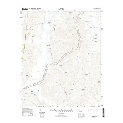
2014 Map of Bishop
USGS Topo · Published 2014About this map
Bear Creek winds through the borderlands of Alabama and Mississippi, carving a complex landscape of hollows and ridges across this northwestern corner of Colbert County. The Natchez Trace Parkway and National Scenic Trail bisects the terrain, tracing a historical corridor that predates modern infrastructure. Small, dispersed settlements like Allsboro, Bishop, and Maud anchor the local geography, connected by a network of winding roads such as Allsboro Rd and White Pike. Numerous family and community burial sites, including Alsobrook Cem, Twitty Cem, and Mt Hester Cem, suggest a deeply rooted rural population. The topography is defined by dozens of named drainages like Pennywinkle Cr and Cripple Deer Cr, which feed into the primary creek system, while industrial or geological features like Asphalt Lake and Bone Cave Hollow hint at the unique natural and extracted resources of the region.
Find a feature on this map
77 named features on this map. Tap any name to fly to it.
Don’t see what you’re looking for? This feature index may not catch every label — zoom into the map to look around manually.
Map Details
Editions of this 2014 Bishop Map
This is the sole edition of this map. No revisions or reprints were ever made.
Other maps of this area

1911 · Iuka
USGS Topo · 1:48,000

1914 · Iuka
USGS Topo · 1:62,500

1924 · Gravelly Springs
USGS Topo · 1:48,000

1925 · Barton
USGS Topo · 1:62,500

1926 · Barton
USGS Topo · 1:48,000

1926 · Gravelly Springs
USGS Topo · 1:62,500

1929 · Barton
USGS Topo · 1:62,500

1935 · Cherokee
USGS Topo · 1:24,000

1935 · Iuka
USGS Topo · 1:24,000

1935 · Pleasant Site
USGS Topo · 1:24,000