Old Maps of Golden, Mississippi for Metal Detecting
Plan your next treasure hunt with 12 historic maps of Golden. Find old homesites, ghost towns, trails, and gathering spots that may be lost to time — perfect for identifying promising metal detecting locations.
- Locate forgotten sites: Uncover places like long-lost settlements, abandoned rail lines, or gathering spots.
- Plan better hunts: Use map overlays combined with LiDAR or satellite views to narrow in on historically rich areas.
- Made for detectorists: Thousands of hobbyists use these maps to discover relics, coins, and hidden history.
Use these historic maps to boost your research and find new opportunities beneath the surface of Golden.
Golden, MS maps
(12)- 1936 Map of Red Bay
 1936 Red Bay1936 Print · USGSRed Bay and the Franklin County borderlands appear here in the mid-thirties as the Tennessee Valley Authority began its regional transformations. Genealogists and local historians can trace family sites at Patterson Chapel, Burgess Cem, and the old rail stops along the Illinois Central line.
 - 1951 Map of Red Bay
 1951 Red Bay1951 Print · USGSRed Bay and the surrounding borderlands of Alabama and Mississippi are captured here in the early fifties. Local historians can trace the rail-side growth of Red Bay and locate rural landmarks like Banner Sch, Sims Memorial Church, and the Burgess Cem.3 unique versions available
 - 1956 Map of Tupelo, 1967 Print
 1956 Tupelo1967 Print · USGSNortheast Mississippi and parts of Tennessee and Alabama are shown here during the mid-fifties, a time of major reservoir construction and forestry management. Researchers can trace the St Louis-San Francisco RR through Tupelo or locate historic sites like Tishomingo State Park and the University.2 unique versions available
 - 1958 Map of Tupelo
 1958 Tupelo1958 Print · USGSNortheast Mississippi and neighboring Alabama and Tennessee appear here during the late fifties as a region defined by new reservoirs and historic rail lines. Genealogists can trace family locations near Sardis Lake, Woodall Mountain, and the St Louis-San Francisco Ry.
 - 1981 Map of Red Bay, 1982 Print
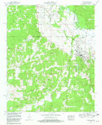 1981 Red Bay1982 Print · USGSThe Alabama-Mississippi borderlands come alive in the early eighties, centered on the growing town of Red Bay and the village of Belmont. Genealogists and local historians can trace family roots through numerous sites like New Carmel Church, Hodge Cem, and the Banner Community Center.
 - 1984 Map of Tupelo
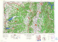 1984 Tupelo1984 Print · USGSNorth Mississippi in the 1980s is defined by its massive river basin reservoirs and the growing regional hubs of Tupelo and Oxford. Researchers can trace the legacy of the Pontotoc Ridge, find the University of Mississippi, and map early Interstate corridors near Sardis Lake.3 unique versions available
 - 1984 Map of Tupelo, 1985 Print
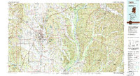 1984 Tupelo1985 Print · USGSNortheast Mississippi and the Alabama borderlands are shown in the mid-1980s as timber and river networks shaped the region. Trace local history through the Illinois Central Gulf rail line and sites like the Old Natchez Trace Parkway.
 - 2011 Map of Red Bay, 2011 Print
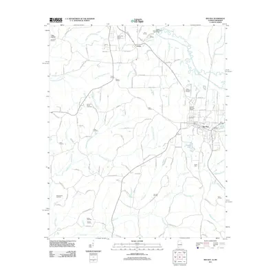 2011 Red Bay2011 Print · USGSThe Alabama-Mississippi border comes into focus in the early twenty-first century, centered on the growing community of Red Bay. Researchers can trace local lineage across dozens of rural landmarks, including New Bethel Cemetery, Bates Lake, and the Tishomingo County Airport.
 - 2014 Map of Red Bay, 2014 Print
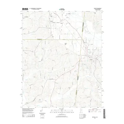 2014 Red Bay2014 Print · USGSThe Alabama-Mississippi borderlands around Red Bay are captured here in the early 2010s, showing a landscape defined by the Tennessee Valley Divide. Researchers can locate numerous family-named landmarks and burial grounds, such as Hillcrest Memorial Gardens, Tharp Cem, and New Bethel Cem.
 - 2018 Map of Red Bay, 2018 Print
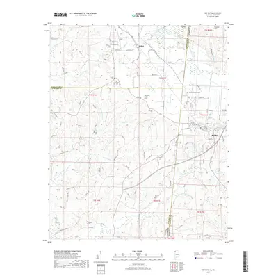 2018 Red Bay2018 Print · USGSThe Alabama-Mississippi state line bisects this 2018 survey of the border region near the Tennessee Valley Divide. Local historians can trace the growth of Red Bay and Belmont while locating rural landmarks like Burgess Cem, New Bethel Ch, and the Tishomingo County Airport.
 - 2020 Map of Red Bay, 2020 Print
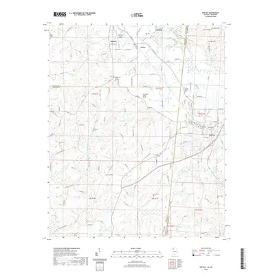 2020 Red Bay2020 Print · USGSThe Alabama and Mississippi borderlands come into focus in 2020, centered on the community of Red Bay. Researchers can trace local heritage through several burial sites like Burgess Cem African American or explore landmarks along the Tennessee Valley Divide.
 - 2024 Map of Red Bay, 2024 Print
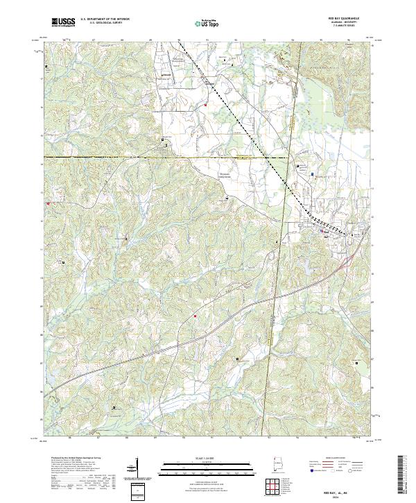 2024 Red Bay2024 Print · USGSThe Alabama-Mississippi state line comes alive in this 2024 survey of the Red Bay and Belmont area. Researchers can trace family history through numerous sites like Burges Cem African American and New Bethel Cem or explore the terrain of the Freedom Hills.
End of results
Showing maps 1-12 of 12
Top cities near Golden
- Fulton historical maps
- Red Bay historical maps
- Belmont historical maps
- Vina historical maps
- Tishomingo historical maps
- Paden historical maps
Frequently asked questions
- What are the different types of historical maps available for Golden?
- What is the oldest map of Golden?
- Where can I purchase historical maps of Golden for my home or office?
- Where can I download high-res historical maps of Golden?
- Are there historical topographic maps available for Golden?
- Is there historical aerial imagery available for Golden?
- Where are historical maps of Golden sourced from?