Old Maps of Union, Mississippi for Hiking & Exploration
Hike through history with 17 historic maps of Union. Explore old trails, ghost towns, and forgotten backroads — perfect for outdoor adventurers and local explorers.
- Rediscover forgotten places: Map out old mining camps, roads, and footpaths that no longer exist on modern maps.
- Layer with modern tools: Combine with LiDAR or satellite views to plan hikes through historical terrain.
- Made for exploration: Popular among hikers, overlanders, and local history lovers.
Use these maps to find adventure and explore the hidden past of Union.
Union, MS maps
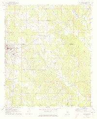
(17)- 1953 Map of Meridian, 1966 Print
 1953 Meridian1966 Print · USGSEast Central Mississippi and the Alabama borderlands are captured here during a period of steady growth and infrastructure expansion. Genealogists and historians can trace rail-town development along the Gulf Mobile & Ohio Railroad and find early settlements like Scooba, Pelahatchie, and De Kalb.2 unique versions available
 - 1957 Map of Meridian
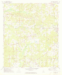
 1957 Meridian1957 Print · USGSEast Central Mississippi and parts of Western Alabama come alive in the mid-1950s, centered on the transit hub of Meridian. Researchers can trace old rail lines like the Illinois Central and find historic sites such as the Choctaw Indian Reservation and Roosevelt State Park.
 - 1965 Map of Meridian
 1965 Meridian1965 Print · USGSEast Mississippi and West Alabama are mapped here in the mid-sixties as the region's modern highway and reservoir systems began to take shape. Researchers can trace rural lineages through local landmarks like Prince Chapel and Tuscahoma Landing, or follow the historic Gulf Mobile & Ohio rail lines.
 - 1972 Map of Union East, 1973 Print
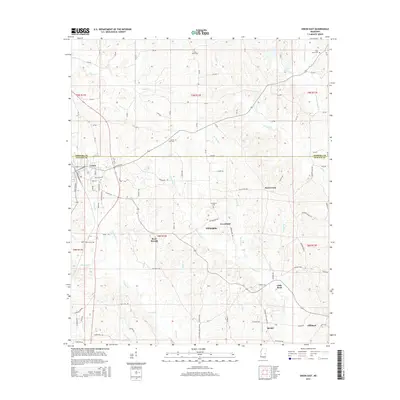
 1972 Union East1973 Print · USGSNewton and Neshoba counties in the early seventies reveal a rural landscape connected by the Gulf Mobile and Ohio rail line. Researchers can trace local family roots at Sunny Hill Cem or find old community centers like Beulah-Hubbard Sch and Rock Branch Ch.2 unique versions available
 - 1972 Map of Union West, 1973 Print
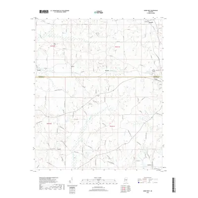
 1972 Union West1973 Print · USGSNewton and Neshoba counties appear here in the early 1970s, as rural communities thrived along the Gulf Mobile and Ohio rail line. Genealogists can trace family roots through several local landmarks like Hudsons Chapel Cemetery, Evans Tabernacle, and Spring Hill Ch.2 unique versions available
 - 1984 Map of Carthage
 1984 Carthage1984 Print · USGSLeake and Neshoba counties in the mid-1980s showcase a transition from the Government Hills to the dense Bienville National Forest. Genealogists and researchers can trace the historic Natchez Trace Parkway and local settlements like Plattsburg and Williamsville.
 - 1994 Map of Carthage
 1994 Carthage1994 Print · USGSCentral Mississippi in the mid-nineties is a region of dense river bottoms and historic travel ways. Genealogists can trace family names and small-town roots across the Choctaw Indian Reservation or follow the path of the Natchez Trace Parkway past Carthage and Walnut Grove.
 - 2012 Map of Union West, 2012 Print
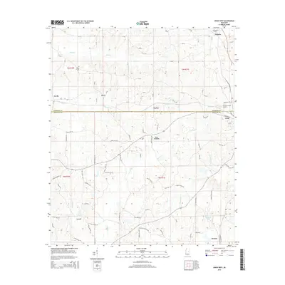
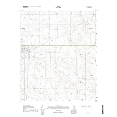
 2012 Union West2012 Print · USGSCovers Union, including Dover, Neville, and other nearby areas
 - 2012 Map of Union East, 2012 Print
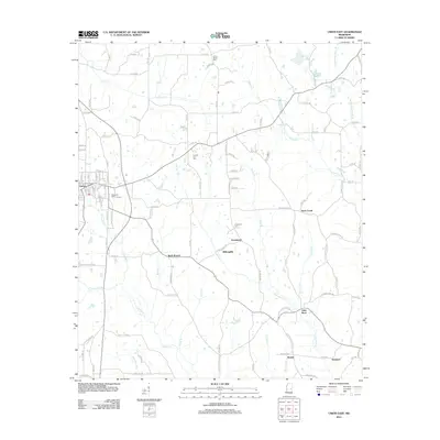 2012 Union East2012 Print · USGSCovers Union, including Rock Branch, Rock Creek, and other nearby areas
 - 2015 Map of Union East, 2015 Print
 2015 Union East2015 Print · USGSCovers Union, including Rock Branch, Rock Creek, and other nearby areas
 - 2015 Map of Union West, 2015 Print
 2015 Union West2015 Print · USGSCovers Union, including Dover, Neville, and other nearby areas
 - 2018 Map of Union West, 2018 Print
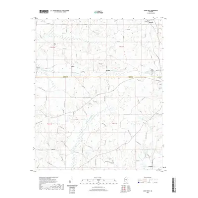
 2018 Union West2018 Print · USGSCovers Union, including Dover, Neville, and other nearby areas
 - 2018 Map of Union East, 2018 Print
 2018 Union East2018 Print · USGSCovers Union, including Rock Branch, Rock Creek, and other nearby areas
 - 2020 Map of Union West, 2020 Print
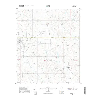
 2020 Union West2020 Print · USGSCovers Union, including Dover, Neville, and other nearby areas
 - 2020 Map of Union East, 2020 Print
 2020 Union East2020 Print · USGSCovers Union, including Rock Branch, Rock Creek, and other nearby areas
 - 2024 Map of Union East, 2024 Print
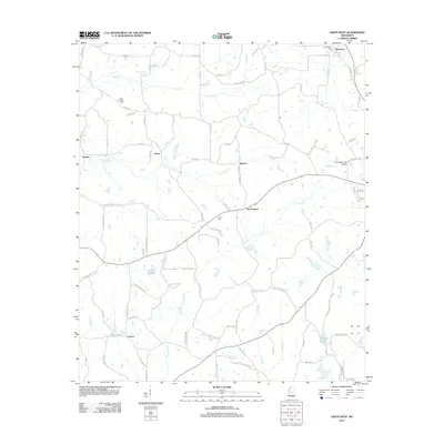
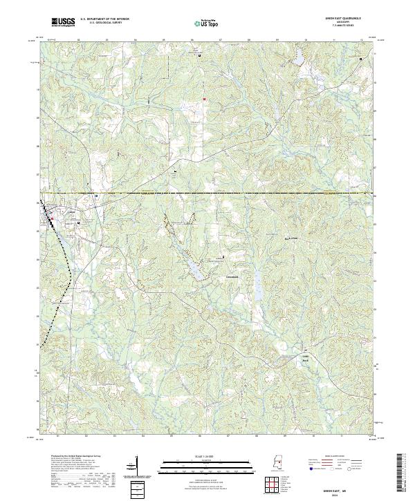 2024 Union East2024 Print · USGSThe borderlands of Neshoba and Newton Counties are revealed here in the early twenty-first century, centered on the town of Union. Researchers can trace local lineage through several rural burial grounds, including Pine Grove Cem and the Greenland Baptist Church Cem.
 - 2024 Map of Union West, 2024 Print
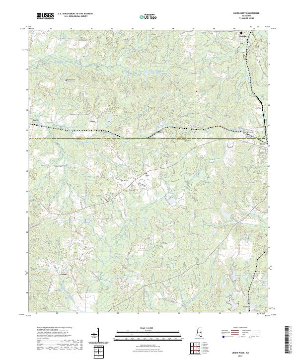 2024 Union West2024 Print · USGSNewton and Neshoba Counties appear here in the early twenty-first century, showing a rural landscape of dispersed settlements and winding creeks. Genealogists can locate family landmarks like Abney Cem, Neshoba Cem, and the communities of Dover and Stratton.
End of results
Showing maps 1-17 of 17
Top cities near Union
- Philadelphia historical maps
- Newton historical maps
- Pearl River historical maps
- Decatur historical maps
Frequently asked questions
- What are the different types of historical maps available for Union?
- What is the oldest map of Union?
- Where can I purchase historical maps of Union for my home or office?
- Where can I download high-res historical maps of Union?
- Are there historical topographic maps available for Union?
- Is there historical aerial imagery available for Union?
- Where are historical maps of Union sourced from?