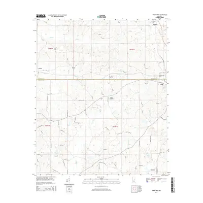
2015 Map of Union West
USGS Topo · Published 2015About this map
Union sits at the junction of the Neshoba Co and Newton Co line, serving as a primary hub for this rural Mississippi landscape. The terrain is defined by a dense network of waterways, including Sipsey Creek and Little Sipsey Creek to the north, and the winding Conehatta Creek which drains the central part of the quadrangle. Small, scattered settlements like New Ireland, Dover, and Barfoot are connected by a system of county roads, while Stratton and Lucern anchor the southern reaches. Local history is preserved in several family and community burial sites such as Beech Springs Cemetery and Abney Cemetery. The presence of the Union Municipal Airport and the crossing of various creeks suggest a region shaped by both its aviation infrastructure and its natural drainage patterns.
Find a feature on this map
98 named features on this map. Tap any name to fly to it.
Don’t see what you’re looking for? This feature index may not catch every label — zoom into the map to look around manually.
Map Details
Editions of this 2015 Union West Map
This is the sole edition of this map. No revisions or reprints were ever made.
Other maps of this area

1921 · Forest
USGS Topo · 1:48,000

1922 · Forest
USGS Topo · 1:62,500

1950 · Forest
USGS Topo · 1:62,500

1952 · Forest
USGS Topo · 1:62,500

1953 · Meridian
USGS Topo · 1:250,000

1957 · Meridian
USGS Topo · 1:250,000

1965 · Meridian
USGS Topo · 1:250,000

1966 · Decatur NW
USGS Topo · 1:24,000

1966 · Decatur
USGS Topo · 1:24,000

1972 · Deemer
USGS Topo · 1:24,000