2020s Maps of Tylertown, Mississippi
Explore 6 historic maps of Tylertown from the 2020s. These maps offer a rare glimpse into what life looked like during the 2020s — showing old roads, neighborhoods, homes, and landmarks that have changed or disappeared over time.
Whether you're researching your family's past, planning a metal detecting trip, or studying how Tylertown's landscape evolved across the 2020s, these high-resolution maps are a powerful tool for exploring the history of this region.
- Focus on a specific era: All maps on this page are from the 2020s, giving you a focused view of this time period.
- See what’s changed: Compare century-old streets, trails, and buildings to today's modern landscape using overlays and satellite layers.
- Research with precision: Use these maps for genealogy, historical research, land use analysis, or educational projects.
- View, download, or print: Maps are fully viewable online in high resolution, and can be downloaded or printed for your own records.
Start exploring Tylertown's history through authentic maps from the 2020s. This is your window into the past.
Tylertown, MS maps
(6)- 2020 Map of Mesa, 2020 Print
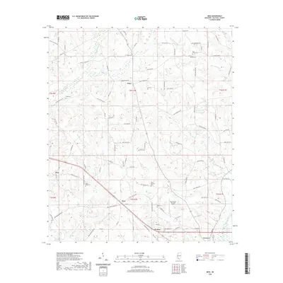 2020 Mesa2020 Print · USGSCovers Tylertown, including Rushing, Dinan, and other nearby areas
 - 2020 Map of Tylertown, 2020 Print
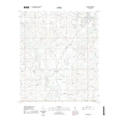 2020 Tylertown2020 Print · USGSCovers Tylertown, including Lexie, Simonds, and other nearby areas
 - 2020 Map of Tylertown SE, 2020 Print
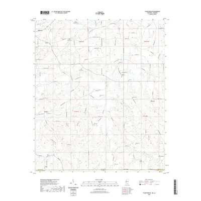 2020 Tylertown SE2020 Print · USGSCovers Tylertown, including Davo, Flowers, and other nearby areas
 - 2024 Map of Mesa, 2024 Print
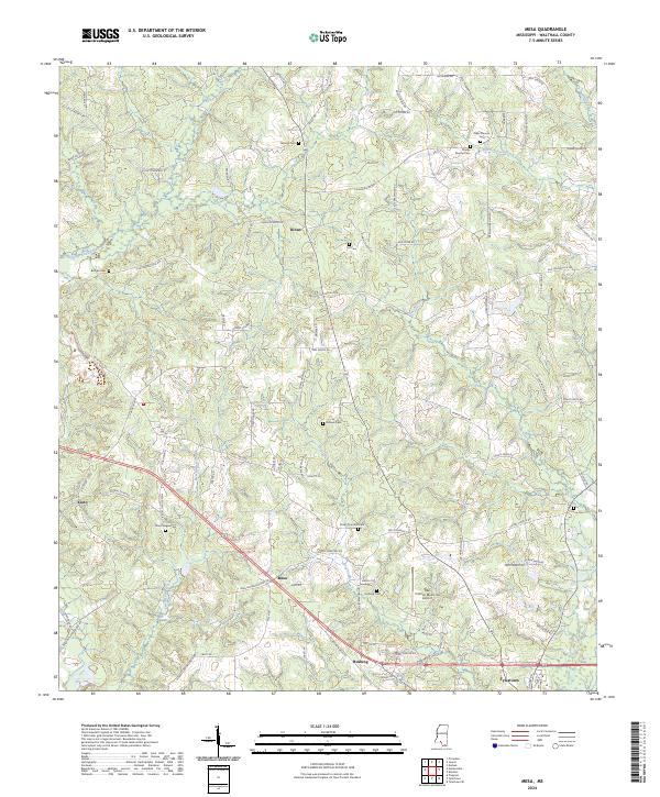 2024 Mesa2024 Print · USGSSouthern Mississippi's rural landscape is captured here in the contemporary era, showing the enduring settlement patterns of Walthall County. Genealogists can locate family-named landmarks like the Obed Magee Cem and Holmes Cem or trace the routes between Dinan and Rushing.
 - 2024 Map of Tylertown, 2024 Print
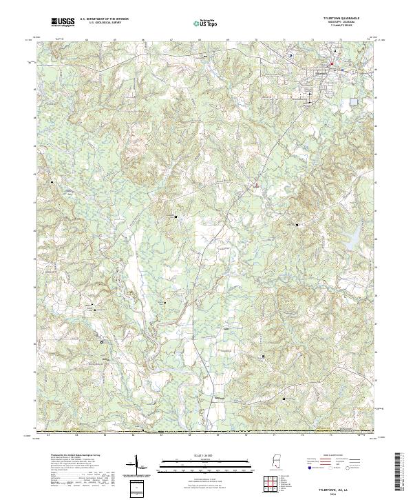 2024 Tylertown2024 Print · USGSWalthall County is captured in this modern survey as it straddles the Mississippi-Louisiana border. Researchers can trace family history through a dense network of landmarks like Founders Cem, Stallings Ferry, and the Walthall County Courthouse.
 - 2024 Map of Tylertown SE, 2024 Print
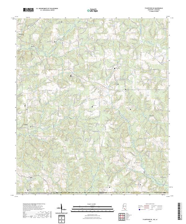 2024 Tylertown SE2024 Print · USGSSouthern Walthall County and the Louisiana border appear here in recent years, showing a landscape defined by its creek forks and family history. Researchers can trace rural lineages through numerous sites like Elisha Crawford Holmes Cem and the Bayou Beth State Line Cem.
End of results
Showing maps 1-6 of 6
Frequently asked questions
- What are the different types of historical maps available for Tylertown?
- What is the oldest map of Tylertown?
- Where can I purchase historical maps of Tylertown for my home or office?
- Where can I download high-res historical maps of Tylertown?
- Are there historical topographic maps available for Tylertown?
- Is there historical aerial imagery available for Tylertown?
- Where are historical maps of Tylertown sourced from?