2024 Map of Mesa
USGS Topo · Published 2024About this map
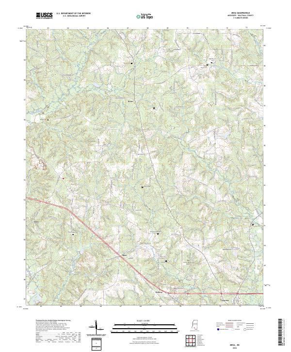
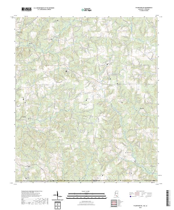
Mesa and the surrounding rural communities of Dinan, Kioto, and Rushing anchor this section of Walthall County, where a dense network of family cemeteries and small-scale creek systems defines the landscape. The geography is characterized by several water bodies, including the meandering Leatherwood Creek and Sweetwater Creek, which flow through a territory mapped with numerous family landmarks such as the Obed Magee Cem, Isaac Duncan Cem, and the Elisha Thornhill Cem.
Find a feature on this map
99 named features on this map. Tap any name to fly to it.
Don’t see what you’re looking for? This feature index may not catch every label — zoom into the map to look around manually.
Map Details
Editions of this 2024 Mesa Map
This is the sole edition of this map. No revisions or reprints were ever made.
Historical Maps of Tylertown Through Time
10 maps found

1970 Darbun
Walthall County, MS
1970 Dexter
Walthall County, MS
1970 Jayess
Walthall County, MS
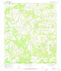
1970 Mesa
Walthall County, MS
1970 Tylertown SE
Walthall County, MS
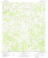
2024 Darbun
Walthall County, MS
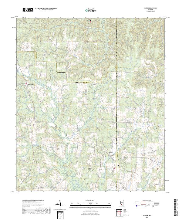
2024 Dexter
Walthall County, MS
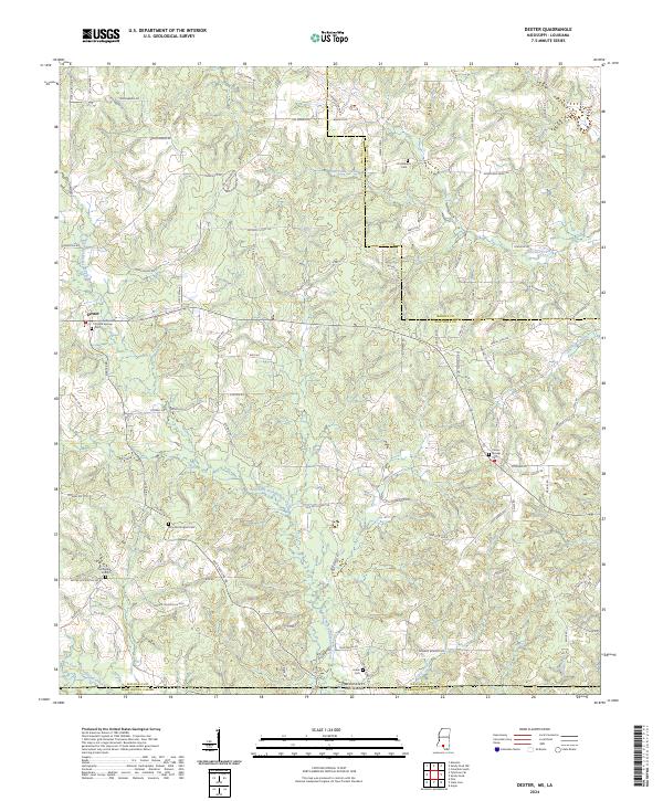
2024 Jayess
Walthall County, MS
2024 Mesa
Walthall County, MS
2024 Tylertown SE
Walthall County, MS