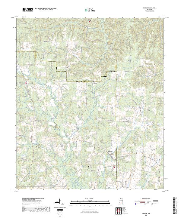
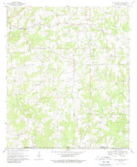
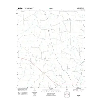
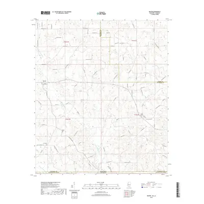
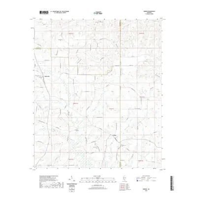
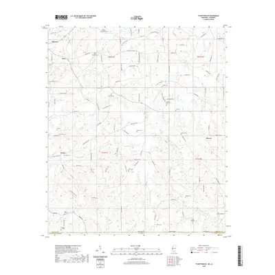
2024 Map of Darbun
USGS Topo · Published 2024About this map
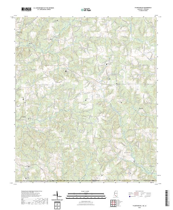
The rural landscape at the intersection of Walthall, Lawrence, and Marion counties is defined by the winding drainages of Magees Creek and Darbun Creek. This modern survey reveals a region deeply rooted in family history, where the road network reflects generations of settlement through names like John Tullis Rd, Felix Sartin Rd, and Tynes Ainsworth Rd. These local thoroughfares connect dispersed homesteads to the small hubs of Sartinville and Darbun.
Find a feature on this map
83 named features on this map. Tap any name to fly to it.
Don’t see what you’re looking for? This feature index may not catch every label — zoom into the map to look around manually.
Map Details
Editions of this 2024 Darbun Map
This is the sole edition of this map. No revisions or reprints were ever made.
Historical Maps of Sartinville Through Time
30 maps found

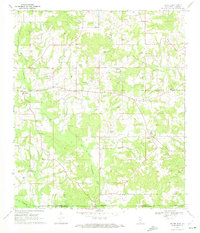
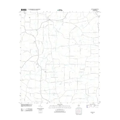
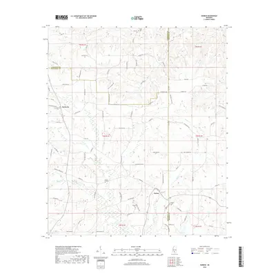
1970 Darbun
Walthall County, MS
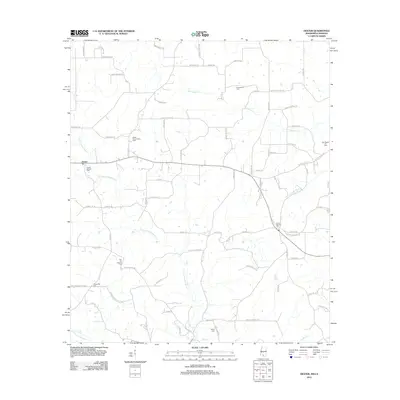
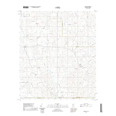
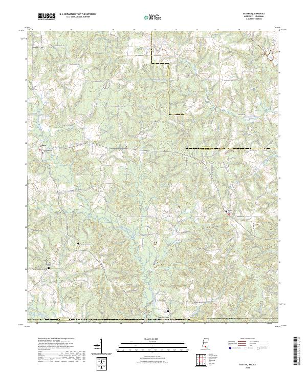
1970 Dexter
Walthall County, MS
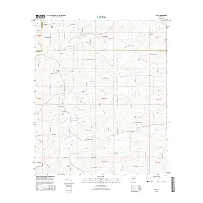
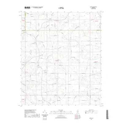
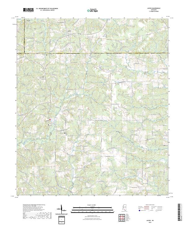
1970 Jayess
Walthall County, MS
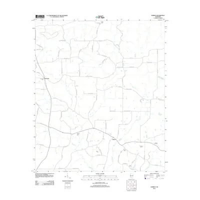
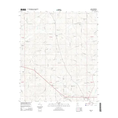
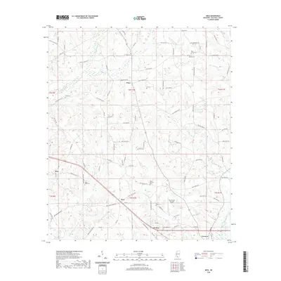
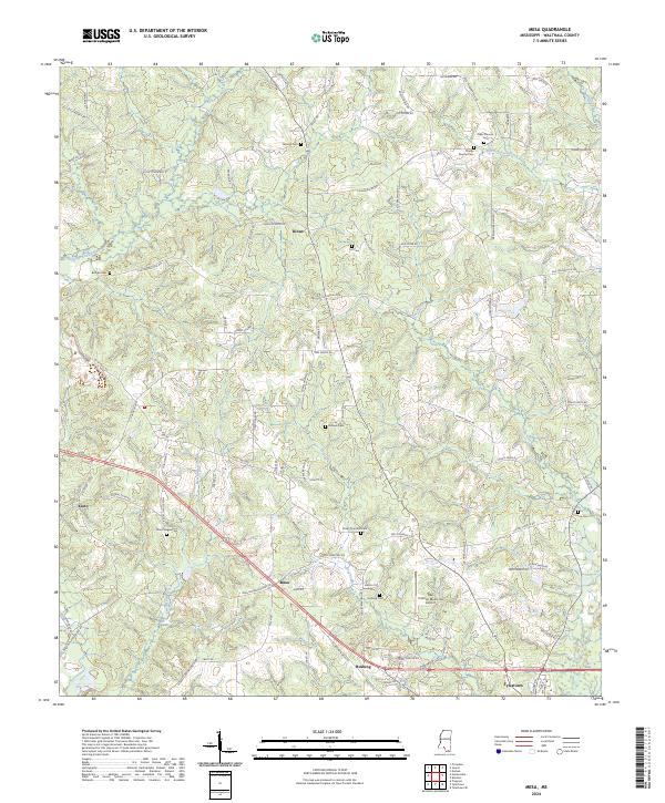
1970 Mesa
Walthall County, MS
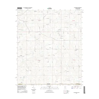
1970 Tylertown SE
Walthall County, MS
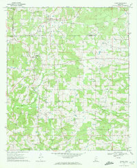
2012 Darbun
Walthall County, MS
2012 Dexter
Walthall County, MS
2012 Jayess
Walthall County, MS
2012 Mesa
Walthall County, MS
2012 Tylertown SE
Walthall County, MS
2015 Darbun
Walthall County, MS
2015 Dexter
Walthall County, MS
2015 Jayess
Walthall County, MS
2015 Mesa
Walthall County, MS
2015 Tylertown SE
Walthall County, MS
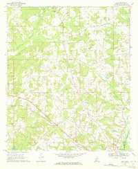
2018 Darbun
Walthall County, MS
2018 Dexter
Walthall County, MS
2018 Jayess
Walthall County, MS
2018 Mesa
Walthall County, MS
2018 Tylertown SE
Walthall County, MS
2020 Darbun
Walthall County, MS
2020 Dexter
Walthall County, MS
2020 Jayess
Walthall County, MS
2020 Mesa
Walthall County, MS
2020 Tylertown SE
Walthall County, MS
2024 Darbun
Walthall County, MS
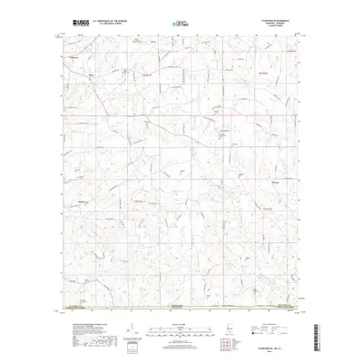
2024 Dexter
Walthall County, MS
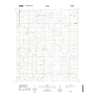
2024 Jayess
Walthall County, MS
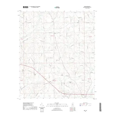
2024 Mesa
Walthall County, MS
2024 Tylertown SE
Walthall County, MS