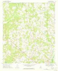
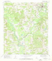
1970 Map of Mesa
USGS Topo · Published 1972About this map
The Fernwood Columbia and Gulf railroad cuts a diagonal path across this Walthall County landscape, anchoring the small settlements of Mesa and Kioto. This 1970 snapshot of rural Mississippi reveals a community structured around its watercourses and country churches, with Leatherwood Creek and Little Varnell Creek draining the timbered and agricultural terrain. Notable for local family historians, the sheet identifies numerous small burial grounds and places of worship, including Bridges Cem, Duncan Cem, and Union Ch.
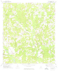
Find a feature on this map
35 named features on this map. Tap any name to fly to it.
Don’t see what you’re looking for? This feature index may not catch every label — zoom into the map to look around manually.
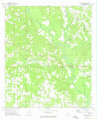
Map Details
Editions of this 1970 Mesa Map
This is the sole edition of this map. No revisions or reprints were ever made.
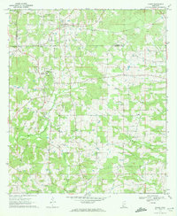
Other maps of this area

1953 · Natchez
USGS Topo · 1:250,000

1956 · Natchez
USGS Topo · 1:250,000

1959 · Natchez
USGS Topo · 1:250,000
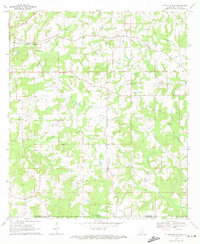
1970 · Tylertown SE
USGS Topo · 1:24,000
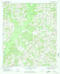
1970 · Kokomo
USGS Topo · 1:24,000

1970 · Darbun
USGS Topo · 1:24,000
1970 · Jayess
USGS Topo · 1:24,000
1970 · Tylertown
USGS Topo · 1:24,000
1972 · Pricedale
USGS Topo · 1:24,000
1972 · Holmesville
USGS Topo · 1:24,000