2020s Maps of Warren County, Mississippi
Explore 44 historic maps of Warren County from the 2020s. These maps offer a rare glimpse into what life looked like during the 2020s — showing old roads, neighborhoods, homes, and landmarks that have changed or disappeared over time.
Whether you're researching your family's past, planning a metal detecting trip, or studying how Warren County's landscape evolved across the 2020s, these high-resolution maps are a powerful tool for exploring the history of this region.
- Focus on a specific era: All maps on this page are from the 2020s, giving you a focused view of this time period.
- See what’s changed: Compare century-old streets, trails, and buildings to today's modern landscape using overlays and satellite layers.
- Research with precision: Use these maps for genealogy, historical research, land use analysis, or educational projects.
- View, download, or print: Maps are fully viewable online in high resolution, and can be downloaded or printed for your own records.
Start exploring Warren County's history through authentic maps from the 2020s. This is your window into the past.
Warren County, MS maps
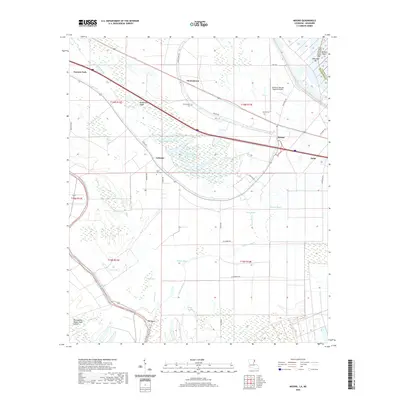
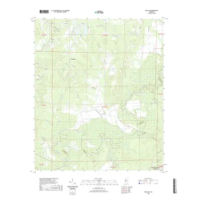
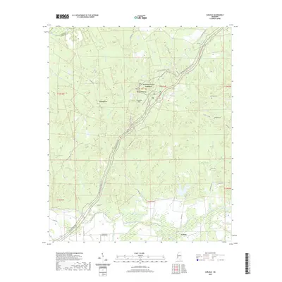
(44)- 2020 Map of Bedford, 2020 Print
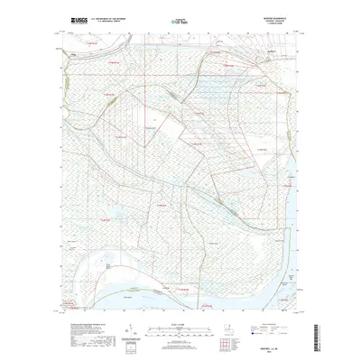 2020 Bedford2020 Print · USGSCovers Warren County, including Bedford, King, and other nearby areas
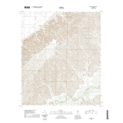
 - 2020 Map of Ashly, 2020 Print
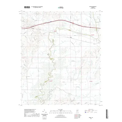
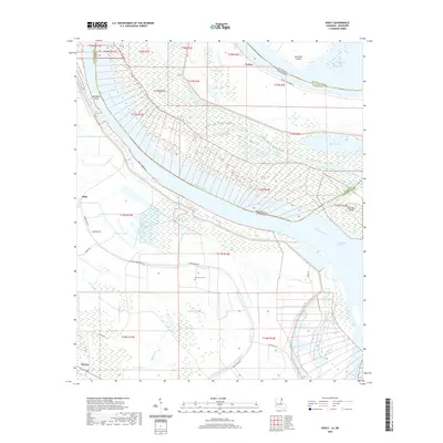 2020 Ashly2020 Print · USGSCovers Warren County, including Ashly, Barnes, and other nearby areas
 - 2020 Map of Mound, 2020 Print
 2020 Mound2020 Print · USGSCovers Warren County, including Delta, Mound, and other nearby areas
 - 2020 Map of Somerset, 2020 Print
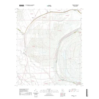 2020 Somerset2020 Print · USGSCovers Warren County, including Hurricane, Quimby, and other nearby areas
 - 2020 Map of Grand Gulf, 2020 Print
 2020 Grand Gulf2020 Print · USGSCovers Warren County, including Grand Gulf, Allen, and other nearby areas
 - 2020 Map of Eagle Bend, 2020 Print
 2020 Eagle Bend2020 Print · USGSCovers Warren County, including Brunswick, Eagle Bend, and other nearby areas
 - 2020 Map of Queens Hill Lake, 2020 Print
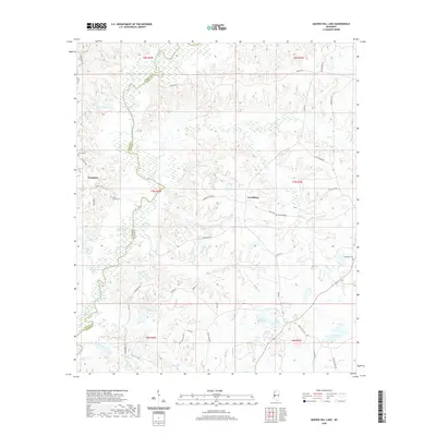 2020 Queens Hill Lake2020 Print · USGSCovers Warren County, including Lynchburg, Queens Hill, and other nearby areas
 - 2020 Map of Willows, 2020 Print
 2020 Willows2020 Print · USGSCovers Warren County, including Hankinson, Willows, and other nearby areas
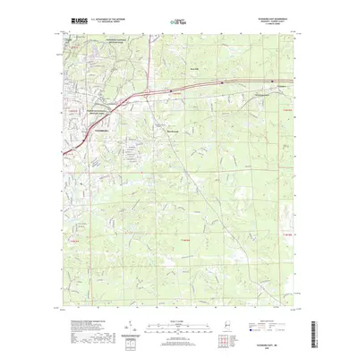
 - 2020 Map of Bovina, 2020 Print
 2020 Bovina2020 Print · USGSCovers Warren County, including Institute, Smiths, and other nearby areas
 - 2020 Map of Redwood, 2020 Print
 2020 Redwood2020 Print · USGSCovers Warren County, including Vicksburg, Openwood Plantation, and other nearby areas
 - 2020 Map of Cayuga, 2020 Print
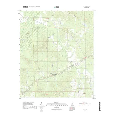 2020 Cayuga2020 Print · USGSCovers Warren County, including Reganton, Hubbard, and other nearby areas
 - 2020 Map of Yokena, 2020 Print
 2020 Yokena2020 Print · USGSCovers Warren County, including Vicksburg, Yokena, and other nearby areas
 - 2020 Map of Big Black, 2020 Print
 2020 Big Black2020 Print · USGSCovers Warren County, including Lake Park, Antioch, and other nearby areas
 - 2020 Map of Phoenix, 2020 Print
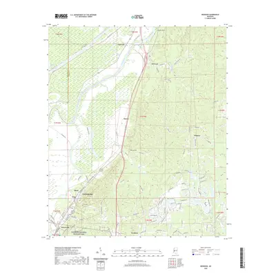
 2020 Phoenix2020 Print · USGSCovers Warren County, including Phoenix, Germania, and other nearby areas
 - 2020 Map of Vicksburg West, 2020 Print
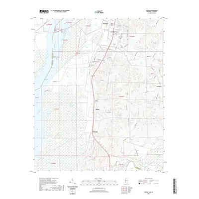
 2020 Vicksburg West2020 Print · USGSCovers Warren County, including Vicksburg, Delta, and other nearby areas
 - 2020 Map of Long Lake, 2020 Print
 2020 Long Lake2020 Print · USGSCovers Warren County, including Vicksburg, Long Lake, and other nearby areas
 - 2020 Map of Carlisle, 2020 Print
 2020 Carlisle2020 Print · USGSCovers Warren County, including Rocky Springs, Carlisle, and other nearby areas
 - 2020 Map of Oak Ridge, 2020 Print
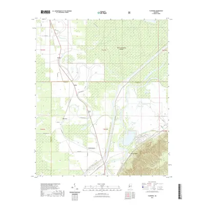
 2020 Oak Ridge2020 Print · USGSCovers Warren County, including Oak Ridge, Flowers, and other nearby areas
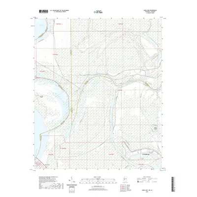
 - 2020 Map of Cane Bayou, 2020 Print
 2020 Cane Bayou2020 Print · USGSCovers Warren County, including Madison Parish, Issaquena County, and other nearby areas
 - 2020 Map of Vicksburg East, 2020 Print
 2020 Vicksburg East2020 Print · USGSCovers Warren County, including Vicksburg, Beechwood, and other nearby areas
 - 2021 Map of Floweree, 2021 Print
 2021 Floweree2021 Print · USGSCovers Warren County, including Hardee, Floweree, and other nearby areas
 - 2021 Map of Eldorado, 2021 Print
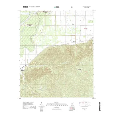 2021 Eldorado2021 Print · USGSCovers Warren County, including Ballground, Eldorado, and other nearby areas
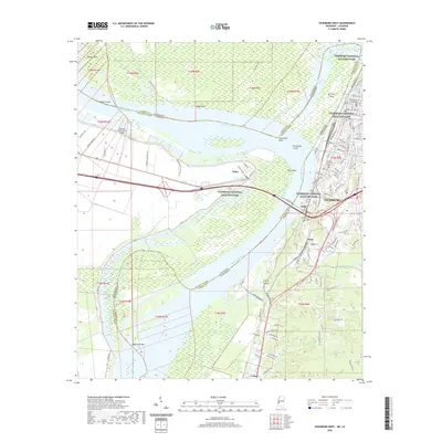
 - 2024 Map of Bedford, 2024 Print
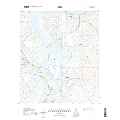
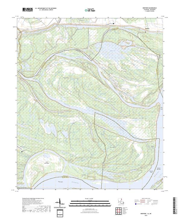 2024 Bedford2024 Print · USGSThe meandering Mississippi River borderlands come alive in this recent survey of the Tensas Parish and Warren County area. Genealogists and researchers can trace riverside landmarks and local resting places like Crystal Springs Cem, Diamond Point, and Davis Island.
 - 2024 Map of Oak Ridge, 2024 Print
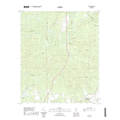
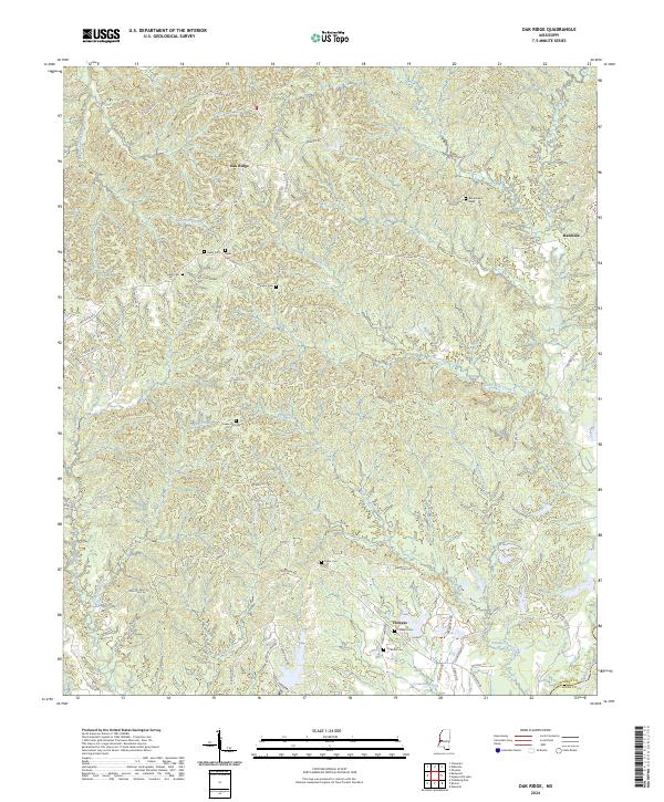 2024 Oak Ridge2024 Print · USGSThe rural uplands of Warren and Hinds County are shown in great detail during the early 2020s, highlighting the ridge-and-valley terrain near the Big Black River. Genealogists can locate several family burial grounds including Parker Cem and Taylor Cem alongside the settlement at Oak Ridge.
 - 2024 Map of Bovina, 2024 Print
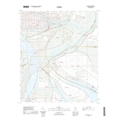
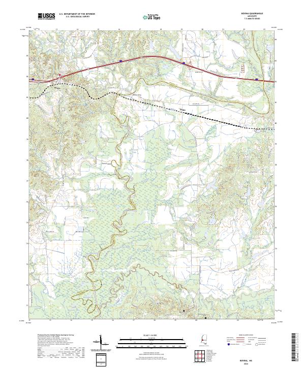 2024 Bovina2024 Print · USGSBovina and the Big Black River bottomlands are captured here in the early twenty-first century, showing the enduring rural landscape along the Warren and Hinds county line. Genealogists can locate family sites like Henry Cem and Montgomery Cem or trace old crossing points like Smiths Ferry.
Showing maps 1-25 of 44
Top cities of Warren County
Frequently asked questions
- What are the different types of historical maps available for Warren County?
- What is the oldest map of Warren County?
- Where can I purchase historical maps of Warren County for my home or office?
- Where can I download high-res historical maps of Warren County?
- Are there historical topographic maps available for Warren County?
- Is there historical aerial imagery available for Warren County?
- Where are historical maps of Warren County sourced from?