Old Maps of Washington County, Mississippi for Academic Research
Study the evolution of Washington County with 47 high-resolution historic maps. Whether you're teaching, researching, or modeling changes in land use, these maps provide essential visual documentation of urban, environmental, and geographic change.
- Analyze long-term change: Track patterns in development, transportation, and natural features.
- Ideal for environmental or urban studies: Support academic projects with primary historical map data.
- Use in the classroom or lab: Educators and researchers rely on these maps to bring historical context to life.
These maps are a powerful tool for teaching, research, and visualizing how Washington County has changed over the decades.
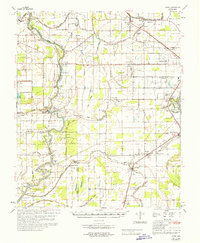
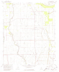
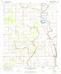
Washington County, MS maps
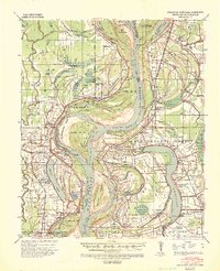
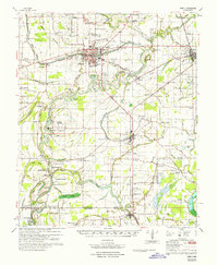
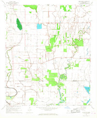
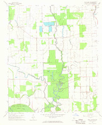
(47)- 1933 Map of Lamont
 1933 Lamont1933 Print · USGSCovers Washington County, including Benoit, Arkansas City, and other nearby areas
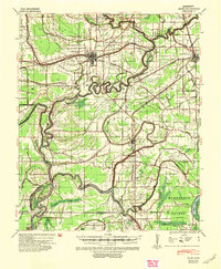
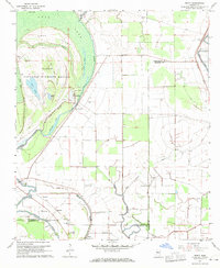
 - 1939 Map of Readland, 1942 Print
 1939 Readland1942 Print · USGSCovers Washington County, including Chatham, James, and other nearby areas3 unique versions available
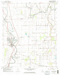
 - 1939 Map of Refuge, 1949 Print
 1939 Refuge1949 Print · USGSCovers Washington County, including Greenville, Metcalfe, and other nearby areas4 unique versions available
 - 1939 Map of Lamont, 1961 Print
 1939 Lamont1961 Print · USGSCovers Washington County, including Benoit, Arkansas City, and other nearby areas3 unique versions available
 - 1939 Map of Tralake, 1964 Print
 1939 Tralake1964 Print · USGSCovers Washington County, including Greenville, Leland, and other nearby areas
 - 1939 Map of Choctaw, 1965 Print
 1939 Choctaw1965 Print · USGSCovers Washington County, including Cleveland, Shaw, and other nearby areas
 - 1939 Map of Swan Lake, 1966 Print
 1939 Swan Lake1966 Print · USGSCovers Washington County, including Hollandale, Cameta, and other nearby areas
 - 1940 Map of Auter, 1941 Print
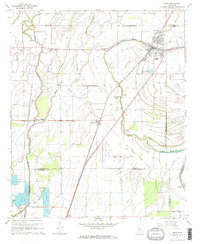
 1940 Auter1941 Print · USGSCovers Washington County, including Silver City, Bellewood, and other nearby areas
 - 1940 Map of Baird, 1942 Print
 1940 Baird1942 Print · USGSCovers Washington County, including Indianola, Moorhead, and other nearby areas
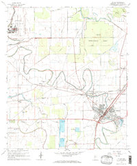
 - 1953 Map of Greenwood, 1966 Print
 1953 Greenwood1966 Print · USGSCovers Washington County, including Greenville, Greenwood, and other nearby areas5 unique versions available
 - 1956 Map of Greenwood
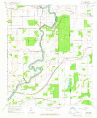
 1956 Greenwood1956 Print · USGSCovers Washington County, including Greenville, Greenwood, and other nearby areas
 - 1965 Map of Richey, 1966 Print
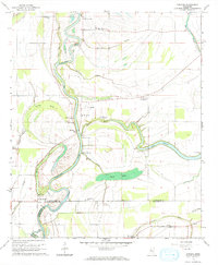
 1965 Richey1966 Print · USGSCovers Washington County, including Bommers, Auter, and other nearby areas
 - 1965 Map of Kinlock, 1966 Print
 1965 Kinlock1966 Print · USGSCovers Washington County, including Kinlock, Floyd, and other nearby areas
 - 1965 Map of Midnight NW, 1966 Print
 1965 Midnight NW1966 Print · USGSCovers Washington County, including Humphreys County, United States, and other nearby areas
 - 1967 Map of Baird
 1967 Baird1967 Print · USGSCovers Washington County, including Indianola, Moorhead, and other nearby areas
 - 1967 Map of Auter
 1967 Auter1967 Print · USGSCovers Washington County, including Silver City, Bellewood, and other nearby areas
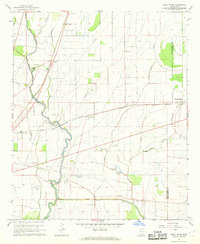
 - 1967 Map of Tribbett, 1968 Print
 1967 Tribbett1968 Print · USGSCovers Washington County, including Tribbett, McGrath, and other nearby areas2 unique versions available
 - 1967 Map of Arcola, 1968 Print
 1967 Arcola1968 Print · USGSCovers Washington County, including Arcola, Hays, and other nearby areas2 unique versions available
 - 1967 Map of Stringtown, 1968 Print
 1967 Stringtown1968 Print · USGSCovers Washington County, including Stringtown, Grapeland, and other nearby areas2 unique versions available
 - 1967 Map of Leland, 1968 Print
 1967 Leland1968 Print · USGSCovers Washington County, including Greenville, Leland, and other nearby areas2 unique versions available
 - 1967 Map of Shaw, 1968 Print
 1967 Shaw1968 Print · USGSCovers Washington County, including Shaw, Choctaw, and other nearby areas2 unique versions available
 - 1967 Map of Holly Ridge, 1968 Print
 1967 Holly Ridge1968 Print · USGSCovers Washington County, including Hollyknowe, Heads, and other nearby areas2 unique versions available
 - 1967 Map of Swan Lake NW, 1968 Print
 1967 Swan Lake NW1968 Print · USGSCovers Washington County, including McCutcheon, Muskedine, and other nearby areas
 - 1967 Map of Percy, 1970 Print
 1967 Percy1970 Print · USGSCovers Washington County, including Spencer, Woodside, and other nearby areas2 unique versions available
 - 1968 Map of Hollandale, 1969 Print
 1968 Hollandale1969 Print · USGSCovers Washington County, including Hollandale, Estill, and other nearby areas2 unique versions available
Showing maps 1-25 of 47
Top cities of Washington County
- Greenville historical maps
- Leland historical maps
- Hollandale historical maps
- Metcalfe historical maps
- Arcola historical maps
Frequently asked questions
- What are the different types of historical maps available for Washington County?
- What is the oldest map of Washington County?
- Where can I purchase historical maps of Washington County for my home or office?
- Where can I download high-res historical maps of Washington County?
- Are there historical topographic maps available for Washington County?
- Is there historical aerial imagery available for Washington County?
- Where are historical maps of Washington County sourced from?