
1965 Map of Kinlock
USGS Topo · Published 1966About this map
Kinlock and its surrounding Delta landscape are defined by the meandering course of the Big Sunflower River, which creates a complex network of oxbows and backwaters. This 1960s environment is characterized by large-scale agricultural holdings, marked by several prominent estates including Woodburn Plantation, Elmwood Plantation, and Sycamore Plantation. These names reflect an era of established land ownership patterns along the fertile river bottoms.
Find a feature on this map
59 named features on this map. Tap any name to fly to it.
Don’t see what you’re looking for? This feature index may not catch every label — zoom into the map to look around manually.
Map Details
Editions of this 1965 Kinlock Map
This is the sole edition of this map. No revisions or reprints were ever made.
Other maps of this area

1939 · Tralake
USGS Topo · 1:62,500

1939 · Swan Lake
USGS Topo · 1:62,500

1940 · Auter
USGS Topo · 1:62,500

1940 · Baird
USGS Topo · 1:62,500

1953 · Greenwood
USGS Topo · 1:250,000

1956 · Greenwood
USGS Topo · 1:250,000

1965 · Inverness
USGS Topo · 1:24,000

1965 · Indianola
USGS Topo · 1:24,000
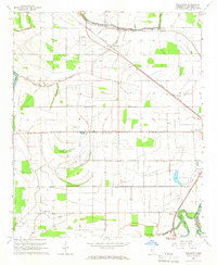
1965 · Bellewood
USGS Topo · 1:24,000
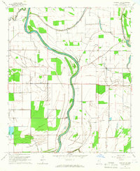
1965 · Midnight NW
USGS Topo · 1:24,000