2020s Maps of Wayne County, Mississippi
Explore 44 historic maps of Wayne County from the 2020s. These maps offer a rare glimpse into what life looked like during the 2020s — showing old roads, neighborhoods, homes, and landmarks that have changed or disappeared over time.
Whether you're researching your family's past, planning a metal detecting trip, or studying how Wayne County's landscape evolved across the 2020s, these high-resolution maps are a powerful tool for exploring the history of this region.
- Focus on a specific era: All maps on this page are from the 2020s, giving you a focused view of this time period.
- See what’s changed: Compare century-old streets, trails, and buildings to today's modern landscape using overlays and satellite layers.
- Research with precision: Use these maps for genealogy, historical research, land use analysis, or educational projects.
- View, download, or print: Maps are fully viewable online in high resolution, and can be downloaded or printed for your own records.
Start exploring Wayne County's history through authentic maps from the 2020s. This is your window into the past.
Wayne County, MS maps
(44)- 2020 Map of Melvin, 2020 Print
 2020 Melvin2020 Print · USGSCovers Wayne County, including Evansboro, Okatuppa, and other nearby areas
 - 2020 Map of Aquilla, 2020 Print
 2020 Aquilla2020 Print · USGSCovers Wayne County, including Aquilla, Contwell, and other nearby areas
 - 2020 Map of Copeland, 2020 Print
 2020 Copeland2020 Print · USGSCovers Wayne County, including Mehaffey, Copeland, and other nearby areas
 - 2020 Map of Isney, 2020 Print
 2020 Isney2020 Print · USGSCovers Wayne County, including Isney, Emory, and other nearby areas
 - 2020 Map of Buckatunna, 2020 Print
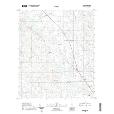 2020 Buckatunna2020 Print · USGSCovers Wayne County, including Chicora, Robinsons Junction, and other nearby areas
 - 2020 Map of Heidelberg SW, 2020 Print
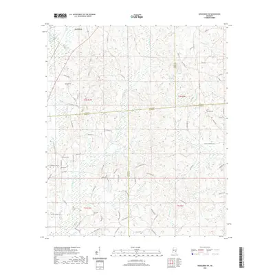 2020 Heidelberg SW2020 Print · USGSCovers Wayne County, including Heidelberg, Jones County, and other nearby areas
 - 2020 Map of Waynesboro, 2020 Print
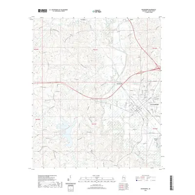 2020 Waynesboro2020 Print · USGSCovers Wayne County, including Waynesboro, Woodwards, and other nearby areas
 - 2020 Map of Whistler, 2020 Print
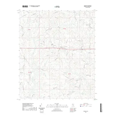 2020 Whistler2020 Print · USGSCovers Wayne County, including Whistler, United States, and other nearby areas
 - 2020 Map of Eucutta, 2020 Print
 2020 Eucutta2020 Print · USGSCovers Wayne County, including Eucutta, Clarke County, and other nearby areas
 - 2020 Map of Matherville, 2020 Print
 2020 Matherville2020 Print · USGSCovers Wayne County, including Gretna, Matherville, and other nearby areas
 - 2020 Map of Shubuta, 2020 Print
 2020 Shubuta2020 Print · USGSCovers Wayne County, including Shubuta, Hiwannee, and other nearby areas
 - 2020 Map of Myrick, 2020 Print
 2020 Myrick2020 Print · USGSCovers Wayne County, including Myrick, Mill Creek, and other nearby areas
 - 2020 Map of Denham, 2020 Print
 2020 Denham2020 Print · USGSCovers Wayne County, including Waynesboro, Denham, and other nearby areas
 - 2020 Map of Carmichael, 2020 Print
 2020 Carmichael2020 Print · USGSCovers Wayne County, including Langsdale, Brewer, and other nearby areas
 - 2020 Map of State Line, 2020 Print
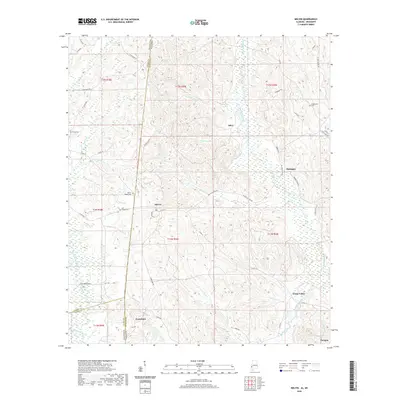
 2020 State Line2020 Print · USGSCovers Wayne County, including State Line, Eret, and other nearby areas
 - 2021 Map of Piave, 2021 Print
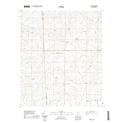
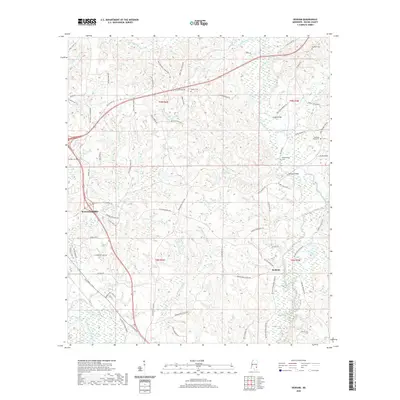
 2021 Piave2021 Print · USGSCovers Wayne County, including Smithtown, Piave, and other nearby areas
 - 2021 Map of Water Oak, 2021 Print
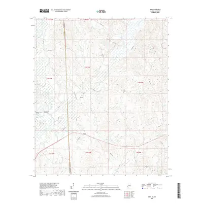
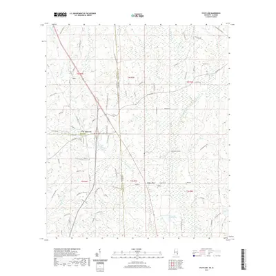
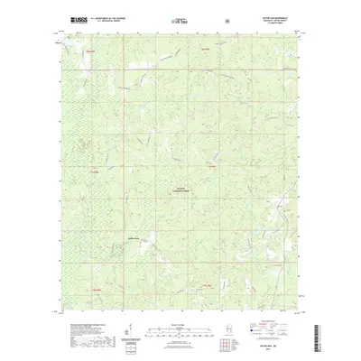 2021 Water Oak2021 Print · USGSCovers Wayne County, including Hollis Creek, United States, and other nearby areas
 - 2021 Map of Strengthford, 2021 Print
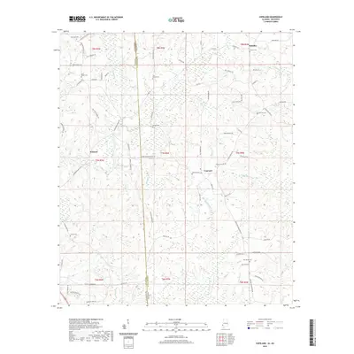
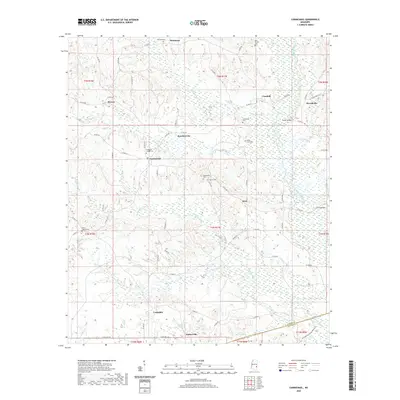
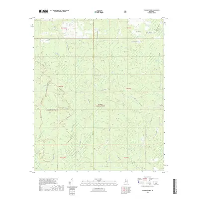 2021 Strengthford2021 Print · USGSCovers Wayne County, including Strengthford, Jones County, and other nearby areas
 - 2021 Map of Mulberry, 2021 Print
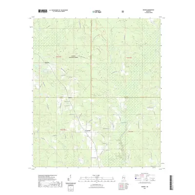
 2021 Mulberry2021 Print · USGSCovers Wayne County, including Mulberry, Henderson, and other nearby areas
 - 2021 Map of Rhodes, 2021 Print
 2021 Rhodes2021 Print · USGSCovers Wayne County, including Blodgett, Rhodes, and other nearby areas
 - 2021 Map of Clara, 2021 Print
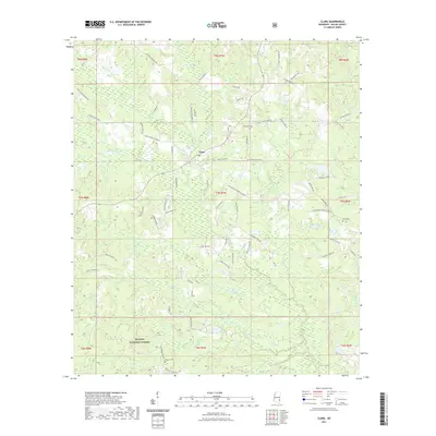 2021 Clara2021 Print · USGSCovers Wayne County, including Clara, United States, and other nearby areas
 - 2021 Map of Knobtown, 2021 Print
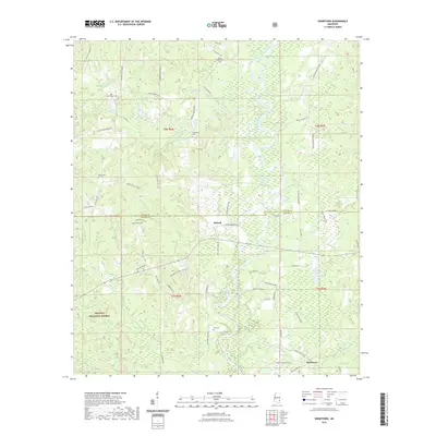 2021 Knobtown2021 Print · USGSCovers Wayne County, including Kittrell, Knobtown, and other nearby areas
 - 2024 Map of Mulberry, 2024 Print
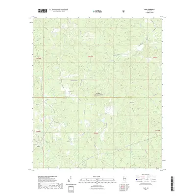
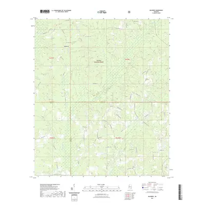
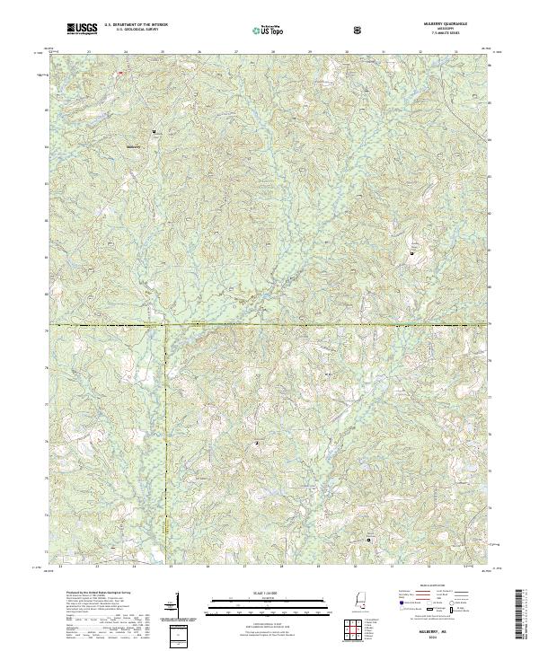 2024 Mulberry2024 Print · USGSSoutheastern Mississippi's timberlands and rural crossroads are documented here in the early twenty-first century. Researchers can trace local drainage patterns along Bogue Homa or locate family landmarks near Mulberry and Sand Hill.
 - 2024 Map of Rhodes, 2024 Print
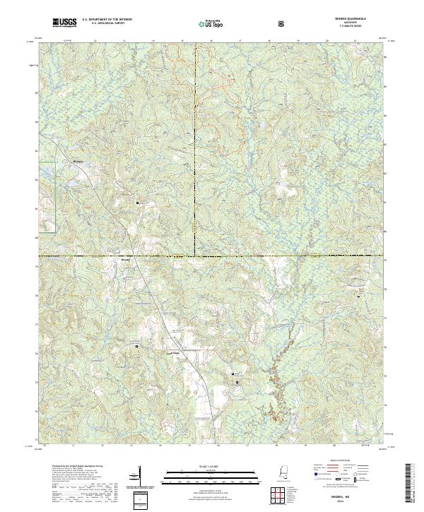 2024 Rhodes2024 Print · USGSPerry County and the southern reaches of the De Soto National Forest appear here in fine detail during the early 2020s. Genealogists can trace family connections through numerous rural burial sites like the Dewitt Family Cem and the Dykes Chapel Cem.
 - 2024 Map of Denham, 2024 Print
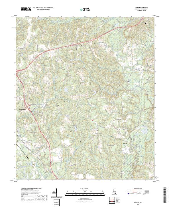 2024 Denham2024 Print · USGSWayne County’s rural landscape comes into focus in the early 2020s, centered on the communities of Waynesboro and Denham. Genealogists can trace family-named roads and locate several local burial grounds, including Big Rock Cem and Pleasant Grove Cem.
Showing maps 1-25 of 44
Top cities of Wayne County
Frequently asked questions
- What are the different types of historical maps available for Wayne County?
- What is the oldest map of Wayne County?
- Where can I purchase historical maps of Wayne County for my home or office?
- Where can I download high-res historical maps of Wayne County?
- Are there historical topographic maps available for Wayne County?
- Is there historical aerial imagery available for Wayne County?
- Where are historical maps of Wayne County sourced from?