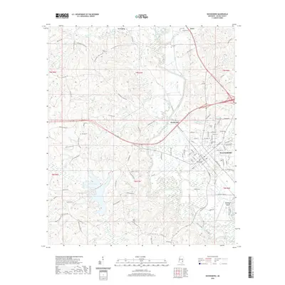
2020 Map of Waynesboro
USGS Topo · Published 2020About this map
The Chickasawhay River meanders southward through the center of this 2020 landscape, serving as a primary geographic anchor for the region. To the east, the city of Waynesboro serves as the focal point of commerce and governance, anchored by the Wayne County Courthouse. The map documents a blend of municipal infrastructure and rural heritage, from the Waynesboro Municipal Airport in the southeast to the scattered settlements of West King and Woodwards.
Find a feature on this map
114 named features on this map. Tap any name to fly to it.
Don’t see what you’re looking for? This feature index may not catch every label — zoom into the map to look around manually.
Map Details
Editions of this 2020 Waynesboro Map
This is the sole edition of this map. No revisions or reprints were ever made.
Other maps of this area

1953 · Hattiesburg
USGS Topo · 1:250,000

1958 · Hattiesburg
USGS Topo · 1:250,000

1964 · Denham
USGS Topo · 1:24,000

1964 · Eucutta
USGS Topo · 1:24,000

1964 · Clara
USGS Topo · 1:24,000

1964 · Waynesboro
USGS Topo · 1:24,000

1964 · Whistler
USGS Topo · 1:24,000

1964 · Shubuta
USGS Topo · 1:24,000

1964 · Buckatunna
USGS Topo · 1:24,000

1964 · Matherville
USGS Topo · 1:24,000