2010s Maps of Wilkinson County, Mississippi
Explore 66 historic maps of Wilkinson County from the 2010s. These maps offer a rare glimpse into what life looked like during the 2010s — showing old roads, neighborhoods, homes, and landmarks that have changed or disappeared over time.
Whether you're researching your family's past, planning a metal detecting trip, or studying how Wilkinson County's landscape evolved across the 2010s, these high-resolution maps are a powerful tool for exploring the history of this region.
- Focus on a specific era: All maps on this page are from the 2010s, giving you a focused view of this time period.
- See what’s changed: Compare century-old streets, trails, and buildings to today's modern landscape using overlays and satellite layers.
- Research with precision: Use these maps for genealogy, historical research, land use analysis, or educational projects.
- View, download, or print: Maps are fully viewable online in high resolution, and can be downloaded or printed for your own records.
Start exploring Wilkinson County's history through authentic maps from the 2010s. This is your window into the past.
Wilkinson County, MS maps
(66)- 2012 Map of Lower Sunk Lake, 2012 Print
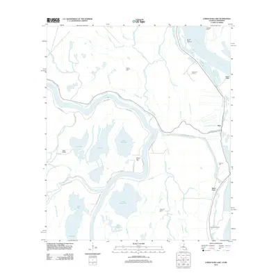 2012 Lower Sunk Lake2012 Print · USGSConcordia Parish in the early 2010s reveals a water-bound landscape of river bends and active petroleum production. Researchers can trace the proximity of settlements like Union Point and Black Hawk to the Union Point Oil Field and the banks of the Mississippi River.
 - 2012 Map of Turnbull Island, 2012 Print
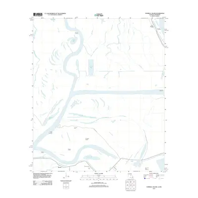 2012 Turnbull Island2012 Print · USGSThe confluence of the Red and Mississippi Rivers comes into focus here in the early twenty-first century. Genealogists and local historians can trace family connections at Turnbull Cem or locate former riverboat stops like Barbre Landing and Chandler Landing.
 - 2012 Map of Pinckneyville, 2012 Print
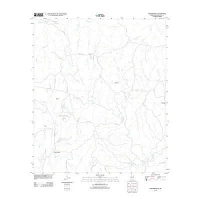 2012 Pinckneyville2012 Print · USGSWilkinson County at the turn of the decade reveals a landscape of historic plantations and winding southern bayous. Genealogists and local historians can trace family ties at Woodstock Cemetery, locate the Dunbar Creek Oil Field, or explore the reaches of Little Bayou Sara.
 - 2012 Map of Lessley, 2012 Print
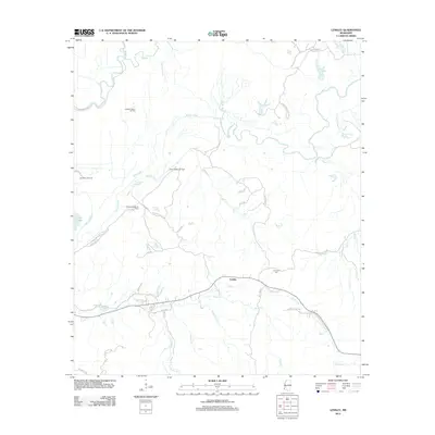 2012 Lessley2012 Print · USGSWilkinson County's rural landscape is defined by the winding Buffalo River and active energy production during the early 2000s. Researchers can trace local lineage at Courtney Cem or explore the geography of extraction at the North Lessley Oil Field and Lake Mary Oil Field.
 - 2012 Map of Fort Adams, 2012 Print
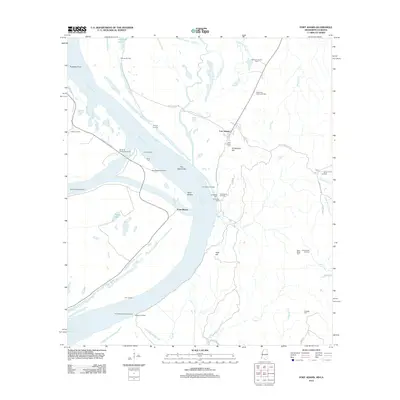 2012 Fort Adams2012 Print · USGSWilkinson County's riverfront is captured here in the early twenty-first century as it balances modern oil extraction with its deep settlement history. Genealogists and historians can locate numerous burial grounds and river landings such as Saint Joseph Cem, Linwood Cem, and Tarberts Landing.
 - 2012 Map of Garden City, 2012 Print
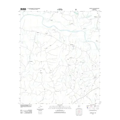 2012 Garden City2012 Print · USGSWilkinson County at the start of the 2010s reveals a landscape where the oil industry and river life converge. Genealogists and historians can trace family locations near Garden City and Ireland, or locate the Mock Cem and Buffalo Lookout Tower.
 - 2012 Map of Newtonia, 2012 Print
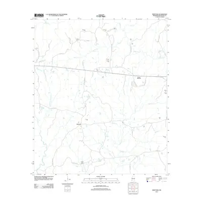 2012 Newtonia2012 Print · USGSWilkinson County in the early twenty-first century is a landscape of rural homesteads and winding creeks like the Buffalo River. Researchers can trace local heritage through numerous family burial sites, including Netterville Cem, Phares Cem, and Schuter Cem.
 - 2012 Map of Centreville, 2012 Print
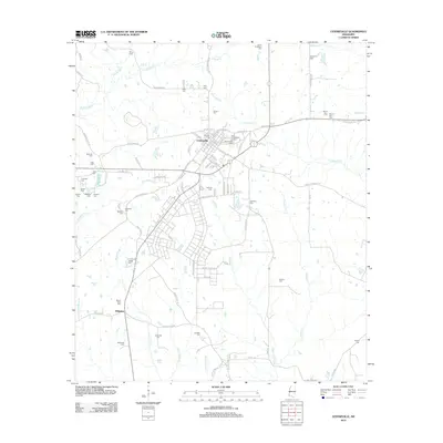 2012 Centreville2012 Print · USGSThe community of Centreville and its surrounding rural hamlets are documented here in the early twenty-first century. Genealogists can trace decades of local history through dozens of named burial sites such as Oaklawn Cem, Stafford Cem, and Mount Zion Cem.
 - 2012 Map of Buck Island, 2012 Print
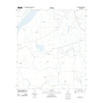 2012 Buck Island2012 Print · USGSThe alluvial plains of Adams County are shown at the height of modern petroleum production in the early twenty-first century. Researchers can trace the layout of numerous extraction sites including the Hutchins Landing and Sibley Oil Field along the Homochitto River.
 - 2012 Map of Laneheart, 2012 Print
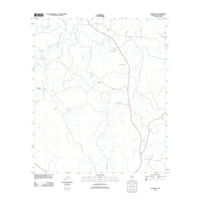 2012 Laneheart2012 Print · USGSWilkinson County is shown in the early twenty-first century as a rural landscape of timber, oil, and river-bottom drainage. Genealogists and local historians can locate family burial sites like Pioneer Cem and Hays Cem or trace the Wilkinson Oil Field.
 - 2012 Map of Gloster, 2012 Print
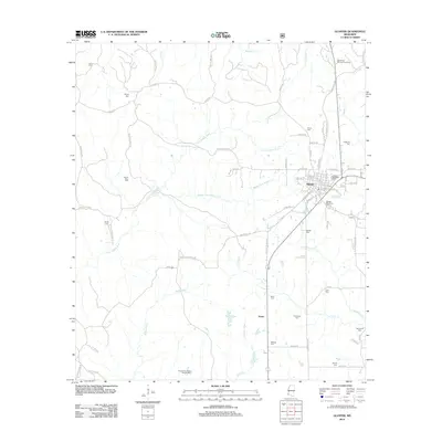 2012 Gloster2012 Print · USGSGloster and the surrounding piney woods are captured here in the early 2000s, showing a landscape shaped by the timber industry and river drainage. Researchers can trace local lineage through numerous burial grounds like Galilee Cem and Shurin Cem, or locate the Tatum settlement near the Georgia Pacific No 2 rail line.
 - 2012 Map of Wilkinson, 2012 Print
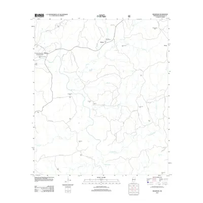 2012 Wilkinson2012 Print · USGSMississippi's timber and oil country is meticulously documented in this early 21st-century survey. Genealogists and historians can trace family burial sites like Enlow Cem and Coon Cem alongside landmarks like the Netterville Landing Strip.
 - 2012 Map of Doloroso, 2012 Print
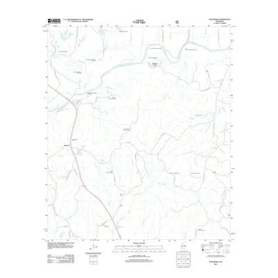 2012 Doloroso2012 Print · USGSWilkinson County, Mississippi, is shown here during a period of extensive energy development along the Homochitto River. Genealogists and researchers can locate family sites like Bunch Cem and Geter Cem or trace the roads serving the Doloroso Oil Field.
 - 2012 Map of Crosby, 2012 Print
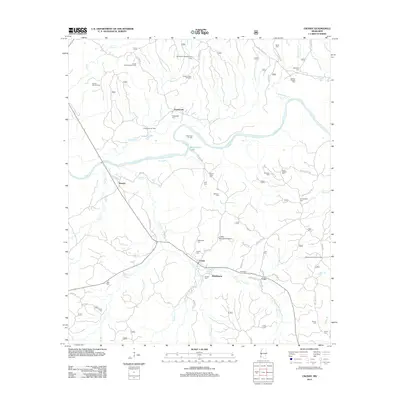 2012 Crosby2012 Print · USGSNear the Homochitto River in the early twenty-first century, this region reveals a landscape defined by timber, oil, and small-town Mississippi life. Researchers can locate numerous family burial sites like Huff Cem and trace the local infrastructure around Crosby and Stephenson.
 - 2012 Map of Woodville, 2012 Print
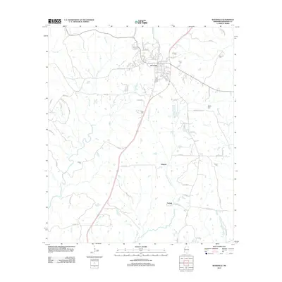 2012 Woodville2012 Print · USGSWoodville and its surrounding hinterlands in Wilkinson County appear here in the early twenty-first century. Genealogists can trace family landmarks across the landscape, from Sweeney Cem and Liddell Cem to the hamlets of Ashwood and Turnbull.
 - 2012 Map of Lake Mary, 2012 Print
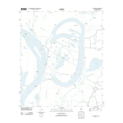 2012 Lake Mary2012 Print · USGSWilkinson County at the turn of the decade reveals a complex riverine landscape of oxbow lakes and historic landings along the Mississippi. Researchers can trace family roots through several local burial sites, including Good Hope Cem and Singleton Cem, or locate riverside settlements like Artonish and Kienstra.
 - 2012 Map of Weyanoke, 2012 Print
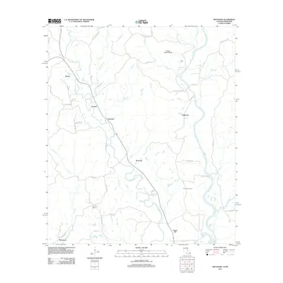 2012 Weyanoke2012 Print · USGSWest Feliciana Parish is documented here in the early twenty-first century, showing a landscape shaped by river systems and rural industry. Genealogists can locate family landmarks at Greenwood Cemetery and Evans Cemetery or trace the early settlement at Weyanoke.
 - 2012 Map of Wilson, 2012 Print
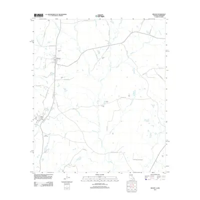 2012 Wilson2012 Print · USGSEast Feliciana Parish in the early 2010s remains a landscape of quiet bayous and deep-rooted family history. Genealogists can trace local lineages through numerous burial sites like Norwood Cem, Springhill Cem, and Easter Star Cem.
 - 2012 Map of Laurel Hill, 2012 Print
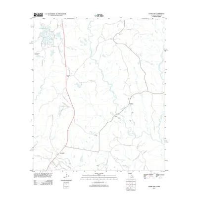 2012 Laurel Hill2012 Print · USGSWest Feliciana Parish in the early 2010s reveals a landscape of enduring family homesteads and rural crossroads. Local historians can trace dozens of family landmarks, from the Lake Rosemound Gas Field to numerous burial sites like Spillman Cem and Walker Cem.
 - 2012 Map of Angola, 2012 Print
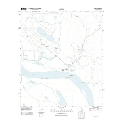 2012 Angola2012 Print · USGSWest Feliciana Parish is defined by the sweeping curve of the Mississippi River and the sprawling grounds of the Louisiana State Penitentiary in the early 2010s. Researchers can trace numerous camps, river landings like Tunica Landing, and local burial sites such as Point Lookout Cem.
 - 2012 Map of Rogillioville, 2012 Print
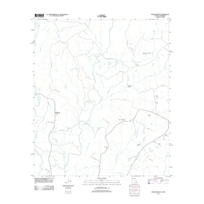 2012 Rogillioville2012 Print · USGSEast Feliciana Parish and the Mississippi border country appear here in the early twenty-first century, a landscape defined by winding creeks and rural industry. Researchers can trace family history at Pisgah Cem or McQueen Cem and locate landmarks like Rogillioville and Sydal Acres Airport.
 - 2012 Map of Innis, 2012 Print
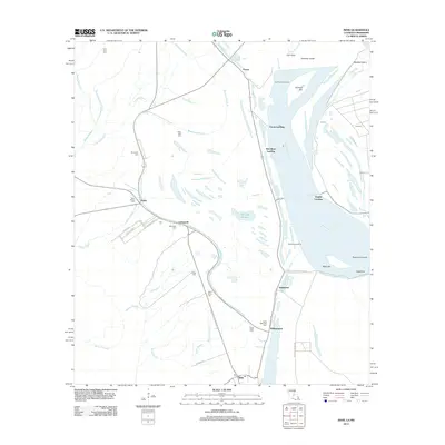 2012 Innis2012 Print · USGSLouisiana's riverfront heritage is on display in this survey of the Pointe Coupee Parish floodplain during the early 2010s. Researchers can trace family history through numerous local burial sites like True Vine Cem or locate historic river stations at Red River Landing and Torras.
 - 2015 Map of Lower Sunk Lake, 2015 Print
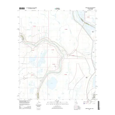 2015 Lower Sunk Lake2015 Print · USGSThe river-bottom country of Concordia Parish is captured here during the 2010s, showing a landscape defined by the winding Red River and its many cutoffs. Researchers can locate remote settlements like Black Hawk and Shaw or trace the complex bayous including Bayou Cocodrie and Grand Cutoff Bayou.
 - 2015 Map of Laurel Hill, 2015 Print
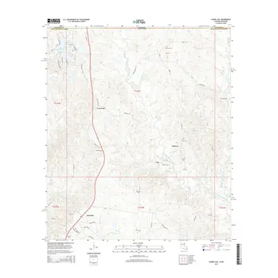 2015 Laurel Hill2015 Print · USGSWest Feliciana Parish in the mid-2010s remains a landscape of deep creek valleys and scattered rural settlements. Family historians can locate numerous remote burial sites such as McCausland Cem, Richardson Cem, and Spillman Cem.
 - 2015 Map of Rogillioville, 2015 Print
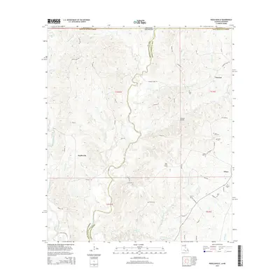 2015 Rogillioville2015 Print · USGSThe Louisiana-Mississippi borderlands near the parish line come to life in this contemporary survey. Genealogists and local historians can trace family roots through numerous sites like Pilgrims Rest Cem, Singletar Cem, and the settlement of Rogillioville.
Showing maps 1-25 of 66
Top cities of Wilkinson County
Frequently asked questions
- What are the different types of historical maps available for Wilkinson County?
- What is the oldest map of Wilkinson County?
- Where can I purchase historical maps of Wilkinson County for my home or office?
- Where can I download high-res historical maps of Wilkinson County?
- Are there historical topographic maps available for Wilkinson County?
- Is there historical aerial imagery available for Wilkinson County?
- Where are historical maps of Wilkinson County sourced from?