2020s Maps of Yalobusha County, Mississippi
Explore 30 historic maps of Yalobusha County from the 2020s. These maps offer a rare glimpse into what life looked like during the 2020s — showing old roads, neighborhoods, homes, and landmarks that have changed or disappeared over time.
Whether you're researching your family's past, planning a metal detecting trip, or studying how Yalobusha County's landscape evolved across the 2020s, these high-resolution maps are a powerful tool for exploring the history of this region.
- Focus on a specific era: All maps on this page are from the 2020s, giving you a focused view of this time period.
- See what’s changed: Compare century-old streets, trails, and buildings to today's modern landscape using overlays and satellite layers.
- Research with precision: Use these maps for genealogy, historical research, land use analysis, or educational projects.
- View, download, or print: Maps are fully viewable online in high resolution, and can be downloaded or printed for your own records.
Start exploring Yalobusha County's history through authentic maps from the 2020s. This is your window into the past.
Yalobusha County, MS maps
(30)- 2020 Map of Grenada, 2020 Print
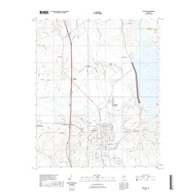 2020 Grenada2020 Print · USGSCovers Yalobusha County, including Grenada, Grenada Landing, and other nearby areas
 - 2020 Map of Gore Springs, 2020 Print
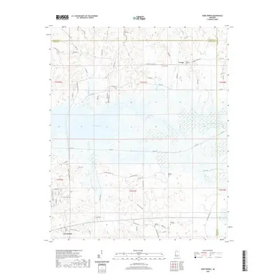 2020 Gore Springs2020 Print · USGSCovers Yalobusha County, including Susie, Youngs, and other nearby areas
 - 2020 Map of Benwood, 2020 Print
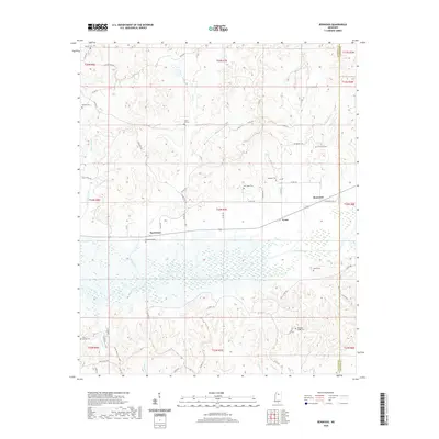 2020 Benwood2020 Print · USGSCovers Yalobusha County, including Spearman, Benwood, and other nearby areas
 - 2020 Map of Kincaid, 2020 Print
 2020 Kincaid2020 Print · USGSCovers Yalobusha County, including Hurricane Branch, Kincaid, and other nearby areas
 - 2021 Map of Pine Valley, 2021 Print
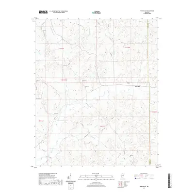 2021 Pine Valley2021 Print · USGSCovers Yalobusha County, including Pine Valley, Calhoun County, and other nearby areas
 - 2021 Map of Velma, 2021 Print
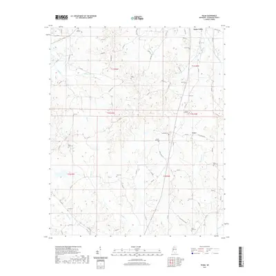 2021 Velma2021 Print · USGSCovers Yalobusha County, including Water Valley, Velma, and other nearby areas
 - 2021 Map of Water Valley East, 2021 Print
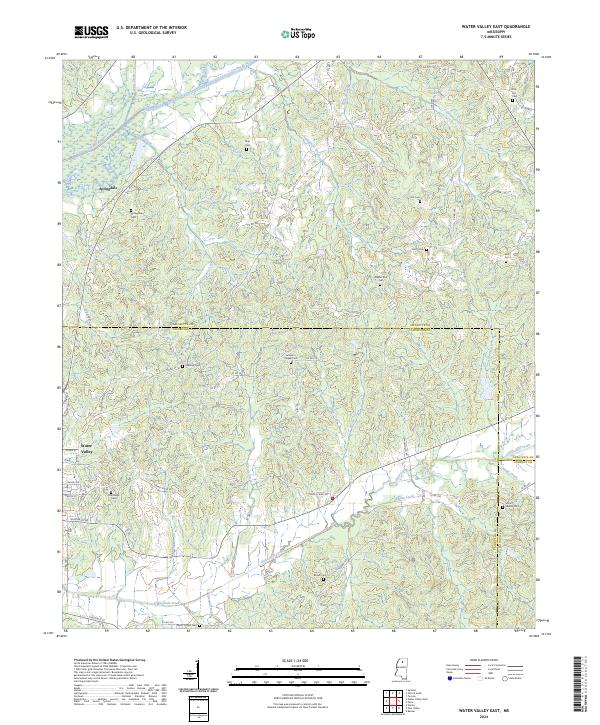
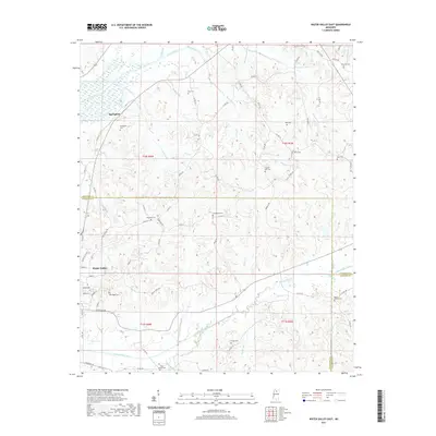 2021 Water Valley East2021 Print · USGSCovers Yalobusha County, including Water Valley, Springdale, and other nearby areas
 - 2021 Map of Courtland, 2021 Print
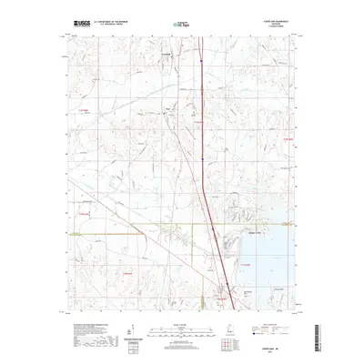 2021 Courtland2021 Print · USGSCovers Yalobusha County, including Courtland, Pope, and other nearby areas
 - 2021 Map of Shuford, 2021 Print
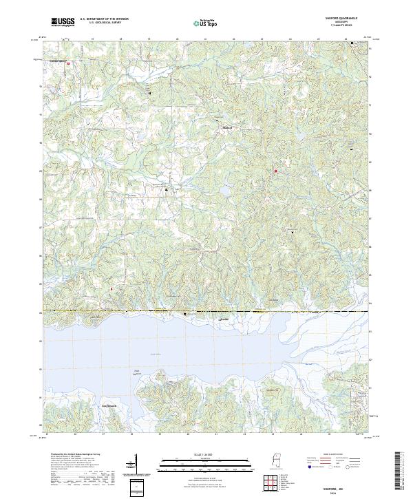
 2021 Shuford2021 Print · USGSCovers Yalobusha County, including Water Valley Landing, Long Branch, and other nearby areas
 - 2021 Map of Water Valley West, 2021 Print
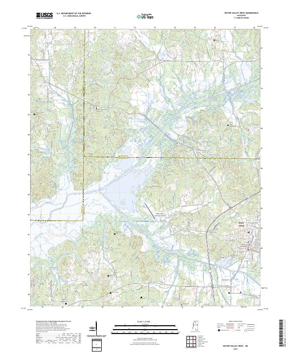
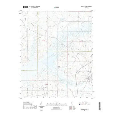 2021 Water Valley West2021 Print · USGSCovers Yalobusha County, including Water Valley, Camp Ground, and other nearby areas
 - 2021 Map of Coffeeville, 2021 Print
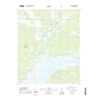 2021 Coffeeville2021 Print · USGSCovers Yalobusha County, including Coffeeville, Gums Crossing, and other nearby areas
 - 2021 Map of Coker Lake, 2021 Print
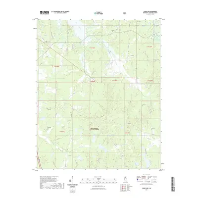 2021 Coker Lake2021 Print · USGSCovers Yalobusha County, including United States, Mississippi, and other nearby areas
 - 2021 Map of Scobey, 2021 Print
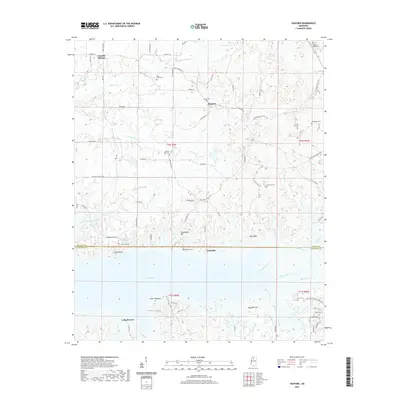
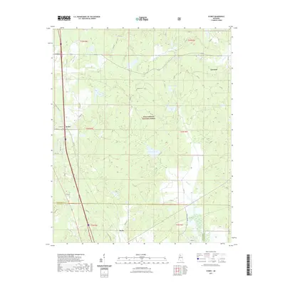 2021 Scobey2021 Print · USGSCovers Yalobusha County, including Hardy, Scobey, and other nearby areas
 - 2021 Map of Oakland, 2021 Print
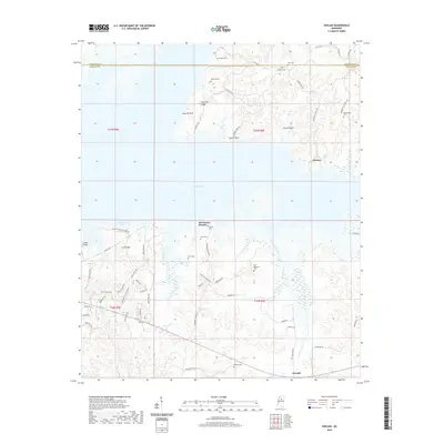
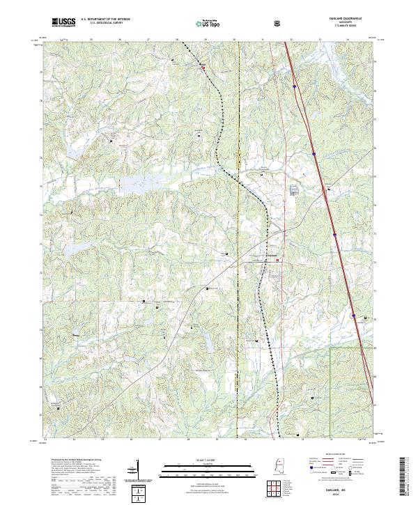
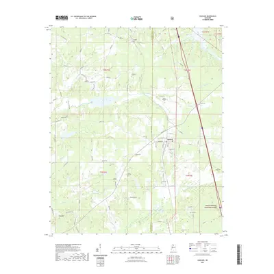 2021 Oakland2021 Print · USGSCovers Yalobusha County, including Oakland, Enid, and other nearby areas
 - 2021 Map of Tillatoba, 2021 Print
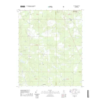 2021 Tillatoba2021 Print · USGSCovers Yalobusha County, including Rosebloom, Tillatoba, and other nearby areas
 - 2024 Map of Scobey, 2024 Print
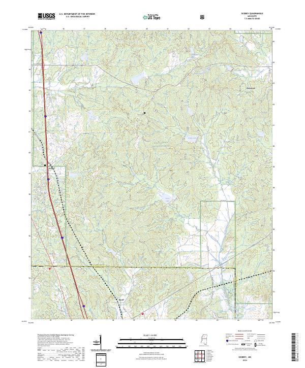 2024 Scobey2024 Print · USGSYalobusha and Grenada counties meet in this quiet stretch of north-central Mississippi, centered on the Holly Springs National Forest. Researchers can trace the rural communities of Scobey, Hardy, and Gatewood and locate landmarks like Jehovah Cem.
 - 2024 Map of Gore Springs, 2024 Print
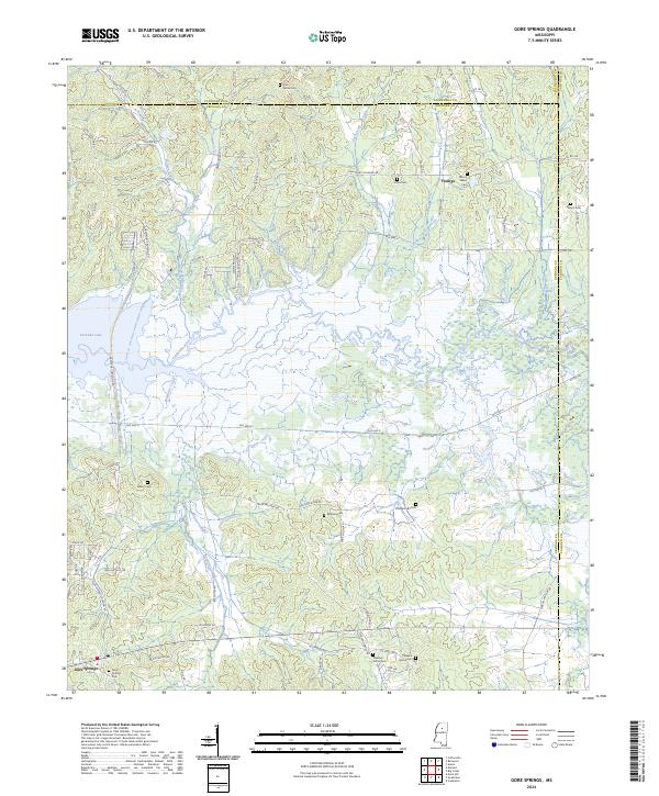 2024 Gore Springs2024 Print · USGSThe Grenada County backcountry near the Yalobusha River is shown here as it appears today, centered on rural life and the local drainage basins. Genealogists can locate several family burial sites including Williams Cem, Parker Cem, and Gore Springs Cem.
 - 2024 Map of Pine Valley, 2024 Print
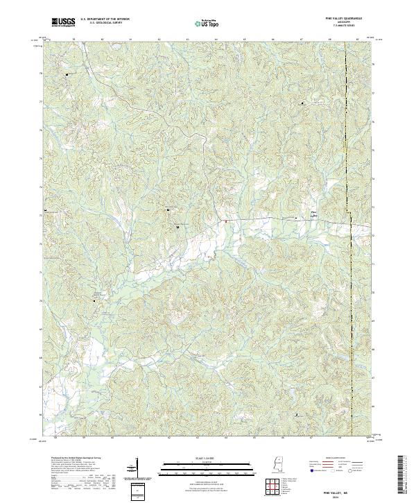 2024 Pine Valley2024 Print · USGSThe hills of Yalobusha and Calhoun counties come into focus in this contemporary survey of the rural Mississippi interior. Genealogists can locate family-named sites like Meggs Cem, Brower Chapel, and the historic Pine Valley settlement area.
 - 2024 Map of Coker Lake, 2024 Print
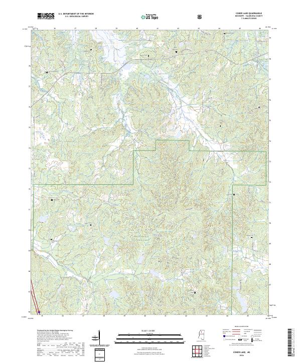 2024 Coker Lake2024 Print · USGSYalobusha County remains a landscape of quiet creek valleys and protected woodlands as shown in this 2024 survey. Family historians can trace local roots at Sardinia Cem, Zion Grove Cem, and Ford's Well Cem.
 - 2024 Map of Velma, 2024 Print
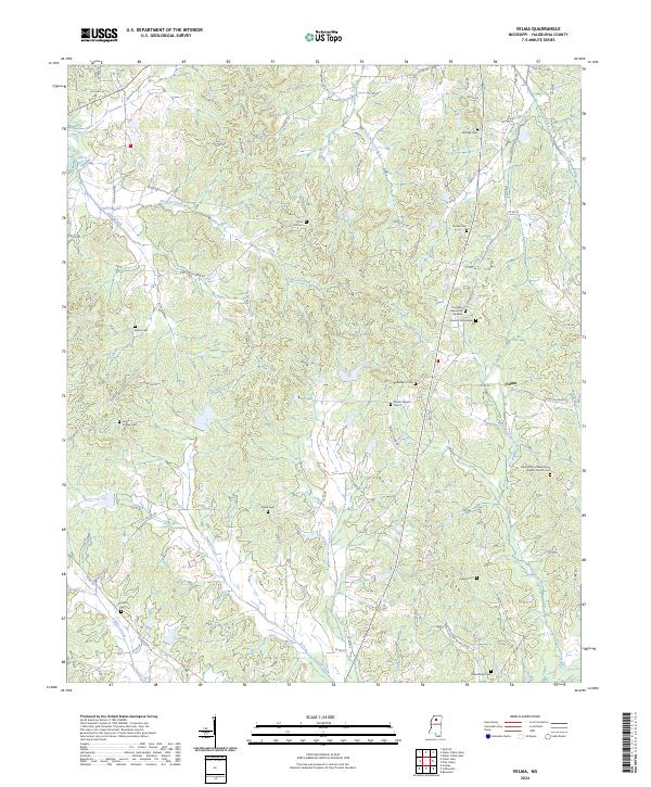 2024 Velma2024 Print · USGSThe community of Velma and its surrounding countryside are captured here in the 2020s, showing a landscape defined by ancestral roots and winding creek basins. Family historians can locate numerous burial sites, including Gimble Cem, Harris Cem, and the Johnson Cemeteries.
 - 2024 Map of Oakland, 2024 Print
 2024 Oakland2024 Print · USGSOakland and the surrounding Tallahatchie and Yalobusha county lines are detailed here in this contemporary survey. Researchers can trace dozens of local burial sites and family landmarks, including Parrish Henderson Cem, Womble Cem, and the settlement of Enid.
 - 2024 Map of Water Valley East, 2024 Print
 2024 Water Valley East2024 Print · USGSYalobusha and Lafayette counties are shown here as they appeared in the early 2020s, highlighting a landscape of ridge-top roads and creek-bottom farms. Genealogists can locate family-named sites like Holt Cem, Keel Cem, and Palestine Cem.
 - 2024 Map of Water Valley West, 2024 Print
 2024 Water Valley West2024 Print · USGSThe hill country surrounding the Yocona River is shown in detail during the early 2020s, highlighting the settlement of Water Valley. Researchers can trace rural cemetery locations and community landmarks including Camp Ground Cem, Pine Spring Cem, and the Yalobusha County Courthouse.
 - 2024 Map of Shuford, 2024 Print
 2024 Shuford2024 Print · USGSThe north Mississippi uplands meet the waters of Enid Lake in this contemporary survey of the Panola and Yalobusha county line. Researchers can trace numerous family burial sites and rural landmarks, from Old Bynum Cem to the Liberty Hill Baptist Church.
 - 2024 Map of Courtland, 2024 Print
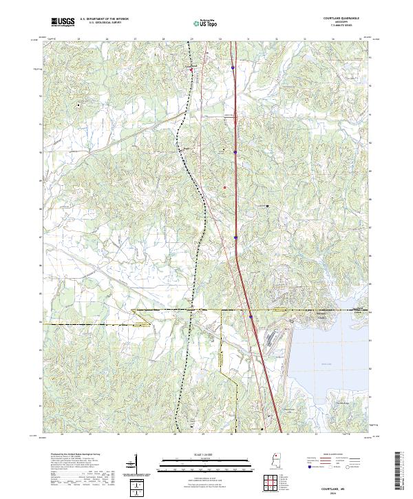 2024 Courtland2024 Print · USGSThe northern Panola County corridor comes into focus in this recent survey of the lands between the Yocona River and Enid Lake. Researchers can locate family landmarks like Antioch Cem and Spring Hill Cem or trace the early township lines near Courtland and Pope.
Showing maps 1-25 of 30
Top cities of Yalobusha County
Frequently asked questions
- What are the different types of historical maps available for Yalobusha County?
- What is the oldest map of Yalobusha County?
- Where can I purchase historical maps of Yalobusha County for my home or office?
- Where can I download high-res historical maps of Yalobusha County?
- Are there historical topographic maps available for Yalobusha County?
- Is there historical aerial imagery available for Yalobusha County?
- Where are historical maps of Yalobusha County sourced from?