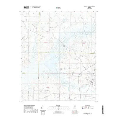
2021 Map of Water Valley West
USGS Topo · Published 2021About this map
Water Valley serves as a local hub at the meeting point of Panola, Lafayette, and Yalobusha counties, anchored by the Yalobusha County Courthouse. This landscape is defined by the wetlands and meandering paths of the Yocona River and its many tributaries, including Bynum Creek, Flowers Creek, and Otoucalofa Creek. The numerous rural cemeteries such as Camp Ground Cem, Pine Spring Cem, and Kind Providence Cem point to long-established family homesteads scattered across the hills. Infrastructure like the Water Valley Municipal Airport and the Prophet Bridge Crossing illustrate the area's development, while the extensive network of county roads, such as Old Water Valley Rd and Pope Water Valley Rd, connects these isolated landmarks through the intricate river bottomlands.
Find a feature on this map
111 named features on this map. Tap any name to fly to it.
Don’t see what you’re looking for? This feature index may not catch every label — zoom into the map to look around manually.
Map Details
Editions of this 2021 Water Valley West Map
This is the sole edition of this map. No revisions or reprints were ever made.
Other maps of this area

1940 · Oxford
USGS Topo · 1:62,500

1943 · Oxford
USGS Topo · 1:62,500

1952 · Sardis
USGS Topo · 1:62,500

1953 · Sardis
USGS Topo · 1:62,500

1954 · Oakland
USGS Topo · 1:62,500

1954 · Water Valley
USGS Topo · 1:62,500

1954 · Water Valley West
USGS Topo · 1:24,000

1955 · Water Valley
USGS Topo · 1:62,500

1956 · Tupelo
USGS Topo · 1:250,000

1958 · Tupelo
USGS Topo · 1:250,000