
1954 Map of Oakland
USGS Topo · Published 1954About this map
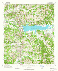
Enid Lake dominates the central landscape of this 1954 survey, reflecting a period of significant hydrological change along the Yocona River. The map details the Enid Reservoir Boundary and the newly engineered Yocona River Canal, marking a transition from natural river bottoms to managed flood control. This engineering sits in contrast to the deeply rooted rural community structure, characterized by an extensive network of family-named cemeteries and churches such as Old Bynum Cem and Liberty Hill Ch & Cem.
Find a feature on this map
89 named features on this map. Tap any name to fly to it.
Don’t see what you’re looking for? This feature index may not catch every label — zoom into the map to look around manually.
Map Details
Editions of this 1954 Oakland Map
3 editions found
Other maps of this area

1932 · Sledge
USGS Topo · 1:48,000

1932 · Philipp
USGS Topo · 1:48,000

1935 · Crowder
USGS Topo · 1:62,500

1935 · Sledge
USGS Topo · 1:62,500

1935 · Philipp
USGS Topo · 1:62,500

1939 · Sledge
USGS Topo · 1:62,500

1939 · Crowder
USGS Topo · 1:62,500

1939 · Philipp
USGS Topo · 1:62,500

1940 · Oxford
USGS Topo · 1:62,500

1943 · Oxford
USGS Topo · 1:62,500