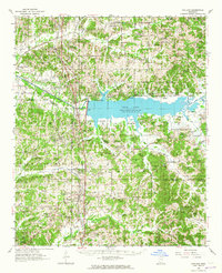
1954 Map of Oakland
USGS Topo · Published 1965About this map
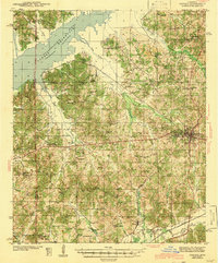
The Yocona River valley defines this mid-century landscape, dominated by the newly formed Enid Lake and the Enid Reservoir boundary. This era shows the dramatic shift in local geography following the damming of the river, which created expansive water bodies like Coker Lake and impacted long-established settlements. Along the Illinois Central railroad, the towns of Oakland and Pope serve as anchors for a rural network of family-centered landmarks.
Find a feature on this map
111 named features on this map. Tap any name to fly to it.
Don’t see what you’re looking for? This feature index may not catch every label — zoom into the map to look around manually.
Map Details
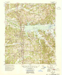
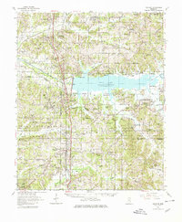
Editions of this 1954 Oakland Map
3 editions found
Other maps of this area
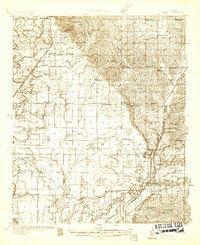
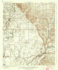
1932 · Sledge
USGS Topo · 1:48,000

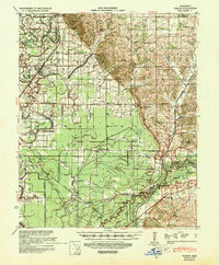
1932 · Philipp
USGS Topo · 1:48,000

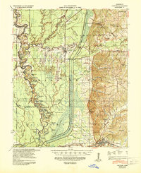
1935 · Crowder
USGS Topo · 1:62,500
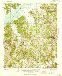
1935 · Sledge
USGS Topo · 1:62,500

1935 · Philipp
USGS Topo · 1:62,500
1939 · Sledge
USGS Topo · 1:62,500
1939 · Crowder
USGS Topo · 1:62,500

1939 · Philipp
USGS Topo · 1:62,500
1940 · Oxford
USGS Topo · 1:62,500
1943 · Oxford
USGS Topo · 1:62,500