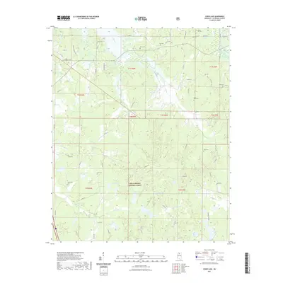
2021 Map of Coker Lake
USGS Topo · Published 2021About this map
The Holly Springs National Forest covers much of the southern half of this landscape in Yalobusha County, where numerous small lakes and creek branches define the topography. Centered on Coker Lake, the terrain is marked by the winding courses of Tillatoba Cr and Kuykendall Cr. The rural road network connects a high density of local burial grounds, including Sardinia Cem, Saint Andrews Cem, and Salem Cem, indicating the long-standing community ties to this forested region.
Find a feature on this map
75 named features on this map. Tap any name to fly to it.
Don’t see what you’re looking for? This feature index may not catch every label — zoom into the map to look around manually.
Map Details
Editions of this 2021 Coker Lake Map
This is the sole edition of this map. No revisions or reprints were ever made.
Other maps of this area

1953 · West Point
USGS Topo · 1:250,000

1954 · Grenada
USGS Topo · 1:62,500

1954 · Oakland
USGS Topo · 1:62,500

1954 · Water Valley
USGS Topo · 1:62,500

1954 · Water Valley West
USGS Topo · 1:24,000

1955 · Water Valley
USGS Topo · 1:62,500

1955 · Coffeeville
USGS Topo · 1:62,500

1956 · Tupelo
USGS Topo · 1:250,000

1958 · Tupelo
USGS Topo · 1:250,000

1958 · West Point
USGS Topo · 1:250,000