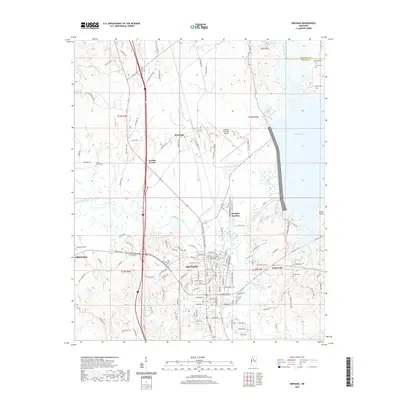
2020 Map of Grenada
USGS Topo · Published 2020About this map
The city of Grenada serves as the central hub of this Mississippi landscape, anchored by the Grenada County Courthouse and a grid of streets that transition into the lowlands of the Yalobusha River. The local geography is defined by the convergence of water and transit, with the Grenada RR and Highway 51 cutting through the terrain. To the north, the sprawling Grenada Lake marks the eastern edge of the quadrangle, while smaller communities like Riverdale, Geeslin Corner, and Memphis Junction dot the outskirts. Genealogy researchers will find significant value in the numerous burial sites recorded here, including the centrally located Confederate Cem, as well as the Barksdale Cem, Jones Cem, and Hebron Cem near the Hebron Church. The presence of the Grenada Municipal Airport and Spencer Field indicates the area's continued importance as a regional transportation and aviation node.
Find a feature on this map
149 named features on this map. Tap any name to fly to it.
Don’t see what you’re looking for? This feature index may not catch every label — zoom into the map to look around manually.
Map Details
Editions of this 2020 Grenada Map
This is the sole edition of this map. No revisions or reprints were ever made.
Other maps of this area

1953 · West Point
USGS Topo · 1:250,000

1954 · Grenada
USGS Topo · 1:62,500

1954 · Duck Hill
USGS Topo · 1:62,500

1954 · McCarley
USGS Topo · 1:62,500

1955 · Coffeeville
USGS Topo · 1:62,500

1958 · West Point
USGS Topo · 1:250,000

1963 · West Point
USGS Topo · 1:250,000
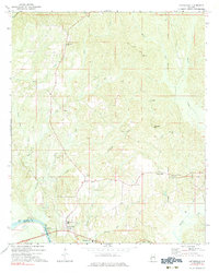
1971 · Coffeeville
USGS Topo · 1:24,000
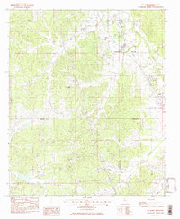
1983 · Tie Plant
USGS Topo · 1:24,000
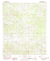
1983 · Jefferson
USGS Topo · 1:24,000