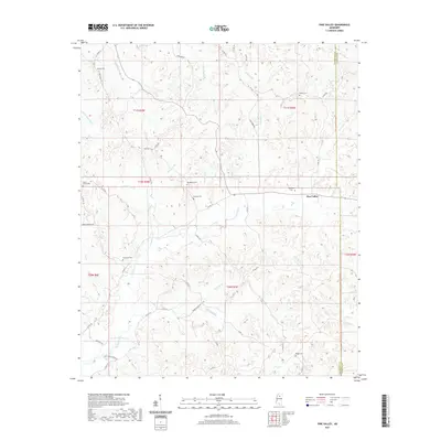
2021 Map of Pine Valley
USGS Topo · Published 2021About this map
Pine Valley serves as a central point in this rural landscape at the border of Yalobusha and Calhoun Counties. The area is defined by its deep network of stream branches and creeks, including Little Johnson Cr and the larger Hurricane Cr. The prevalence of small, family and community burial grounds, such as Bethel Cem and Brower Cem, suggests a long history of local settlement and dispersed rural homesteads. The terrain is navigated by a grid of county roads, with Pine Valley Rd and Turkey Creek Rd providing primary access through the wooded drainage basins. Water management and local industry are hinted at by features like Mill Pond Br, which points to historical mill sites that once utilized the area's many active waterways like Simmons Br and Spring Cr.
Find a feature on this map
56 named features on this map. Tap any name to fly to it.
Don’t see what you’re looking for? This feature index may not catch every label — zoom into the map to look around manually.
Map Details
Editions of this 2021 Pine Valley Map
This is the sole edition of this map. No revisions or reprints were ever made.
Other maps of this area

1953 · West Point
USGS Topo · 1:250,000

1954 · Pittsboro
USGS Topo · 1:62,500

1954 · Water Valley
USGS Topo · 1:62,500

1954 · Water Valley West
USGS Topo · 1:24,000

1955 · Water Valley
USGS Topo · 1:62,500

1955 · Coffeeville
USGS Topo · 1:62,500

1956 · Tupelo
USGS Topo · 1:250,000

1958 · Tupelo
USGS Topo · 1:250,000

1958 · West Point
USGS Topo · 1:250,000

1963 · West Point
USGS Topo · 1:250,000