Old Maps of Farmers City, Missouri for Academic Research
Study the evolution of Farmers City with 13 high-resolution historic maps. Whether you're teaching, researching, or modeling changes in land use, these maps provide essential visual documentation of urban, environmental, and geographic change.
- Analyze long-term change: Track patterns in development, transportation, and natural features.
- Ideal for environmental or urban studies: Support academic projects with primary historical map data.
- Use in the classroom or lab: Educators and researchers rely on these maps to bring historical context to life.
These maps are a powerful tool for teaching, research, and visualizing how Farmers City has changed over the decades.
Farmers City, MO maps
(13)- 1939 Map of Farragut
 1939 Farragut1939 Print · USGSThe Iowa-Missouri borderlands come into focus in the late 1930s, showing a landscape of river-valley farms and rural schoolhouses. Genealogists can trace family roots through sites like Walden Grove Cem, Yale Sch, and the community at Westboro.
 - 1940 Map of Farragut
 1940 Farragut1940 Print · USGSThe Iowa-Missouri state line serves as the anchor for this 1939 survey of Atchison, Fremont, and Page counties. Genealogists and local historians can trace the positions of vanished schoolhouses like Yale Sch and Emporia Sch, or locate family sites near Farmers City and Westboro.
 - 1955 Map of Nebraska City, 1967 Print
 1955 Nebraska City1967 Print · USGSThe four-state region surrounding the Missouri River valley appears here in the mid-1950s, a landscape of rail-dependent market towns and rural school districts. Genealogists can locate family landmarks like the Rock Bluff School, St Oswald Church, and the Clarinda State Hospital.3 unique versions available
 - 1957 Map of Nebraska City
 1957 Nebraska City1957 Print · USGSThe four-state junction of Nebraska, Iowa, Missouri, and Kansas comes alive in this mid-fifties survey of the Missouri River valley. Genealogists and historians can trace the rail-and-road networks connecting Nebraska City, Maryville, and the Squaw Creek National Wildlife Refuge.
 - 1958 Map of Nebraska City
 1958 Nebraska City1958 Print · USGSThe Missouri River Valley and its fertile four-state borderlands are captured here during the mid-century expansion of the regional highway and rail networks. Genealogists can trace family roots through numerous rural landmarks like Moulton School, Shady Grove Church, and the Clarinda State Hospital.
 - 1981 Map of Farmers City
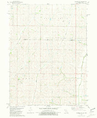 1981 Farmers City1981 Print · USGSThe Missouri-Iowa border region comes into focus during the early eighties, showing a landscape of small townships and family farms. Researchers can trace the rural communities of Farmers City and locate local landmarks like Grange Hall Cem and St Pauls Ch.
 - 1985 Map of Nebraska City
 1985 Nebraska City1985 Print · USGSThe Missouri River borderlands of Nebraska, Iowa, and Missouri come into focus in the mid-1980s, showcasing a landscape of river navigation and rail-fed agriculture. Researchers can trace the heritage of Nebraska City, follow the Burlington Northern tracks, or explore river landmarks like Jones Point and McKissick Island.
 - 1993 Map of Nebraska City
 1993 Nebraska City1993 Print · USGSThe Missouri River valley and the rolling farmland of southwest Iowa are captured here in the early nineties, showing a landscape defined by water and rail. Researchers can trace the Burlington Northern lines or explore local landmarks like Arbor Lodge State Park and College Springs.
 - 2010 Map of Farmers City, 2010 Print
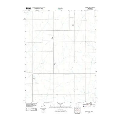 2010 Farmers City2010 Print · USGSNorthwest Missouri farmland is captured here in the early 2000s, showing the intersection of long-standing agricultural life and rural infrastructure. Genealogists can locate several burial grounds including Locust Grove Cemetery and Grange Hall Cemetery.
 - 2012 Map of Farmers City, 2012 Print
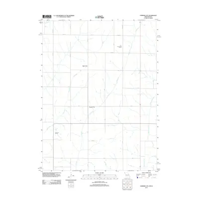 2012 Farmers City2012 Print · USGSFarmers City and the surrounding Atchison County farmland are shown here in the early twenty-first century, structured by a network of drainage creeks and grid roads. Researchers can locate family sites near Saint Pauls Lutheran Cemetery, Grange Hall Cemetery, and the banks of Rock Creek.
 - 2014 Map of Farmers City, 2014 Print
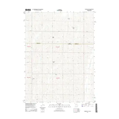 2014 Farmers City2014 Print · USGSThe Missouri-Iowa borderlands are captured here in a detailed look at the rural intersection of Atchison Co and Fremont Co. Genealogists and local historians can trace several significant burial sites, such as Locust Grove Cemetery and Grange Hall Cemetery, alongside the small community of Farmers City.
 - 2017 Map of Farmers City, 2017 Print
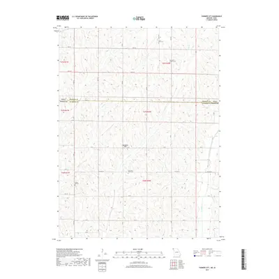 2017 Farmers City2017 Print · USGSCrossing the border between Atchison County and Fremont County in the late 2010s, this area preserves a quiet agricultural landscape centered on Farmers City. Family historians can trace the locations of rural burial grounds like Grange Hall Cem and Saint John's Church Cem.
 - 2021 Map of Farmers City, 2021 Print
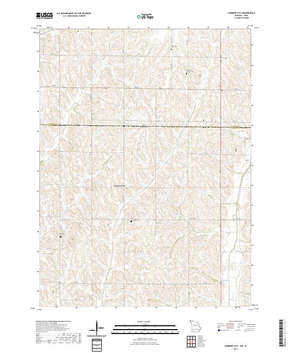 2021 Farmers City2021 Print · USGSFarmers City and the surrounding Atchison County farmland are documented here at the turn of the decade. Genealogists and historians can trace local heritage through sites like Saint Pauls Lutheran Cem and Grange Hall Cem.
End of results
Showing maps 1-13 of 13
Top cities near Farmers City
- Shenandoah historical maps
- Tarkio historical maps
- Rock Port historical maps
- Sidney historical maps
- Hamburg historical maps
- Fairfax historical maps
See more
Frequently asked questions
- What are the different types of historical maps available for Farmers City?
- What is the oldest map of Farmers City?
- Where can I purchase historical maps of Farmers City for my home or office?
- Where can I download high-res historical maps of Farmers City?
- Are there historical topographic maps available for Farmers City?
- Is there historical aerial imagery available for Farmers City?
- Where are historical maps of Farmers City sourced from?