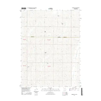
2014 Map of Farmers City
USGS Topo · Published 2014About this map
The Iowa Missouri state line bisects this landscape, marking the northern boundary of Atchison Co and the southern edge of Fremont Co. The small settlement of Farmers City serves as a central point in a region dominated by a systematic grid of section lines and gravel roads. This area is defined by its rural cemetery network, which provides significant genealogical markers for the local farming community, including Locust Grove Cemetery, Saint Pauls Lutheran Cemetery, Saint Johns Cemetery, and Grange Hall Cemetery. The terrain is shaped by the drainage patterns of several winding waterways, notably High Creek and Rock Cr, which flow south across the state border. The presence of Middle Tarkio Cr on the eastern edge further illustrates the agricultural value of this well-watered borderland where the township and range system established in the 19th century remains the primary structural framework for the land.
Find a feature on this map
40 named features on this map. Tap any name to fly to it.
Don’t see what you’re looking for? This feature index may not catch every label — zoom into the map to look around manually.
Map Details
Editions of this 2014 Farmers City Map
This is the sole edition of this map. No revisions or reprints were ever made.
Other maps of this area

1915 · Nemaha
USGS Topo · 1:62,500

1939 · Tarkio
USGS Topo · 1:62,500

1939 · Farragut
USGS Topo · 1:62,500

1939 · Hamburg
USGS Topo · 1:62,500

1939 · Nemaha
USGS Topo · 1:62,500

1940 · Tarkio
USGS Topo · 1:62,500

1940 · Farragut
USGS Topo · 1:62,500

1941 · Tarkio
USGS Topo · 1:62,500

1941 · Hamburg
USGS Topo · 1:62,500

1949 · Nemaha
USGS Topo · 1:62,500