Old Maps of Ashland, Missouri for Metal Detecting
Plan your next treasure hunt with 23 historic maps of Ashland. Find old homesites, ghost towns, trails, and gathering spots that may be lost to time — perfect for identifying promising metal detecting locations.
- Locate forgotten sites: Uncover places like long-lost settlements, abandoned rail lines, or gathering spots.
- Plan better hunts: Use map overlays combined with LiDAR or satellite views to narrow in on historically rich areas.
- Made for detectorists: Thousands of hobbyists use these maps to discover relics, coins, and hidden history.
Use these historic maps to boost your research and find new opportunities beneath the surface of Ashland.
Ashland, MO maps
(23)- 1886 Map of Jefferson City
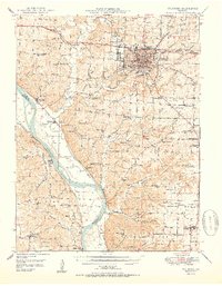
 1886 Jefferson City1886 Print · USGSMid-Missouri was a bustling corridor of river traffic and rail expansion during the 1880s. You can trace the early tracks of the Missouri Pacific Railroad and locate vanished river landings like Nashville or Providence along the winding Missouri River.
 - 1894 Map of Jefferson City
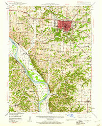
 1894 Jefferson City1894 Print · USGSMid-Missouri during the late nineteenth century was a landscape of river landings and burgeoning rail towns. Genealogists and historians can trace early track layouts of the Missouri Pacific Railroad and locate interior settlements like Ashland, Millersburg, and Centretown.4 unique versions available
 - 1944 Map of Millersburg, 1963 Print
 1944 Millersburg1963 Print · USGSCentral Missouri's rural heartland is documented here in the mid-1940s, showing a landscape shaped by coal mining and country school districts. Trace local history at Stephens and Millersburg, or find family sites like Hundley Cem and Monocle Chapel.
 - 1946 Map of Millersburg
 1946 Millersburg1946 Print · USGSMid-Missouri farming and mining communities come alive in this mid-century survey of the Boone and Callaway county line. Genealogists and historians can locate dozens of rural landmarks, from the Manacle Chapel and Hundley Cem to local schools like Sunrise Sch.2 unique versions available
 - 1947 Map of Jefferson City, 1949 Print
 1947 Jefferson City1949 Print · USGSCentral Missouri and the northern Ozarks come into focus in this late 1940s survey of the river-and-rail landscape. Genealogists and historians can trace the growth of Jefferson City and Sedalia or locate family roots near Bagnell Dam and the Lake of the Ozarks.
 - 1948 Map of Columbia, 1960 Print
 1948 Columbia1960 Print · USGSMid-century Boone County is captured here just as the educational and agricultural landscape began its post-war transition. Genealogists can trace family landmarks like Sugar Grove Ch and Vaughter Sch or follow the Missouri Pacific along the Missouri River.2 unique versions available
 - 1950 Map of Columbia
 1950 Columbia1950 Print · USGSMid-century Columbia and the Missouri River bottoms are captured here during a period of steady institutional and rail-driven growth. Genealogists and researchers can locate numerous country schools and churches like Mt Zion Ch, Huntsdale, and Valley Springs Sch.2 unique versions available
 - 1954 Map of Jefferson City
 1954 Jefferson City1954 Print · USGSCentral Missouri in the early postwar years showcases a landscape defined by the winding Lake of the Ozarks and the state capital at Jefferson City. Researchers can trace the mid-century rail networks of the Missouri Pacific RR and locate rural communities like Tuscumbia, St Elizabeth, and St Anthony.2 unique versions available
 - 1955 Map of Jefferson City, 1967 Print
 1955 Jefferson City1967 Print · USGSCentral Missouri in the mid-fifties is defined by the winding Missouri River and the expanding reach of Lake of the Ozarks. Researchers can trace the rail corridors of the Missouri Pacific or locate the early footprint of Whiteman AFB and Jefferson City.4 unique versions available
 - 1958 Map of Jefferson City
 1958 Jefferson City1958 Print · USGSCentral Missouri in the late fifties shows a region transforming through the growth of Whiteman Air Force Base and the Lake of the Ozarks. Researchers can trace rail lines like the Missouri Pacific or find family roots at Enloe Cemetery and Mount Pleasant Cem.
 - 1959 Map of Jefferson City
 1959 Jefferson City1959 Print · USGSCentral Missouri is captured during the mid-fifties as the river economy and rail networks like the Missouri Pacific met the rise of the automobile. Local researchers can trace family landmarks and rural infrastructure from the Lake of the Ozarks up to Providence Cemetery and Knob Noster State Park.
 - 1969 Map of Ashland, 1971 Print
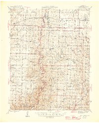
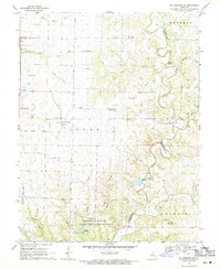
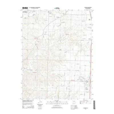
 1969 Ashland1971 Print · USGSBoone County in the late sixties shows a landscape of karst geology and rural growth south of Columbia. Genealogists can trace family names at Oakland Cem or Rock Bridge Cem and locate historic community centers like Log Providence.2 unique versions available
 - 1969 Map of Millersburg SW, 1971 Print
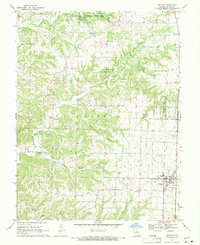
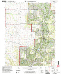
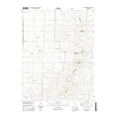
 1969 Millersburg SW1971 Print · USGSThe rural borderlands of Boone and Callaway counties are captured here in the late sixties, showing a landscape of academic research and aviation growth. Genealogists and local historians can locate Harris Cem, Englewood, and the University of Missouri Ashland Wildlife Research Area.4 unique versions available
 - 1982 Map of Jefferson City, 1983 Print
 1982 Jefferson City1983 Print · USGSMid-Missouri in the early eighties shows the corridor between Columbia and Jefferson City during a period of modern growth. Genealogists and historians can trace the Missouri Pacific Railroad route, family plots at Memorial Park Cem, and landmarks like Osage City and Lupus.
 - 2000 Map of Millersburg SW, 2003 Print
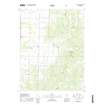
 2000 Millersburg SW2003 Print · USGSSouthern Boone County at the turn of the century shows a landscape where university research lands and national forest meet regional infrastructure. Genealogists and local historians can locate Barnes Chapel, Harris Cem, and the rural community of Englewood.
 - 2011 Map of Ashland, 2011 Print
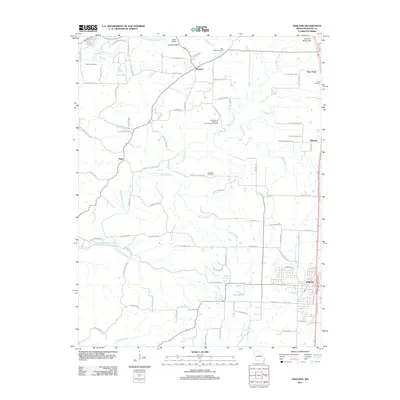 2011 Ashland2011 Print · USGSCovers Ashland, including Columbia, Pierpont, and other nearby areas
 - 2012 Map of Millersburg SW, 2012 Print
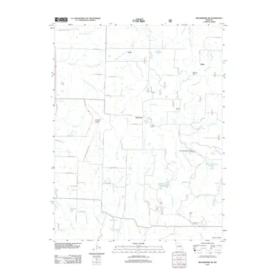 2012 Millersburg SW2012 Print · USGSCovers Ashland, including Englewood, Millers, and other nearby areas
 - 2015 Map of Ashland, 2015 Print
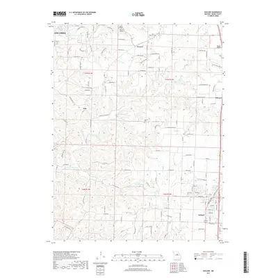
 2015 Ashland2015 Print · USGSCovers Ashland, including Columbia, Pierpont, and other nearby areas
 - 2015 Map of Millersburg SW, 2015 Print
 2015 Millersburg SW2015 Print · USGSCovers Ashland, including Englewood, Millers, and other nearby areas
 - 2017 Map of Millersburg SW, 2017 Print
 2017 Millersburg SW2017 Print · USGSCovers Ashland, including Englewood, Millers, and other nearby areas
 - 2017 Map of Ashland, 2017 Print
 2017 Ashland2017 Print · USGSCovers Ashland, including Columbia, Pierpont, and other nearby areas
 - 2021 Map of Ashland, 2021 Print
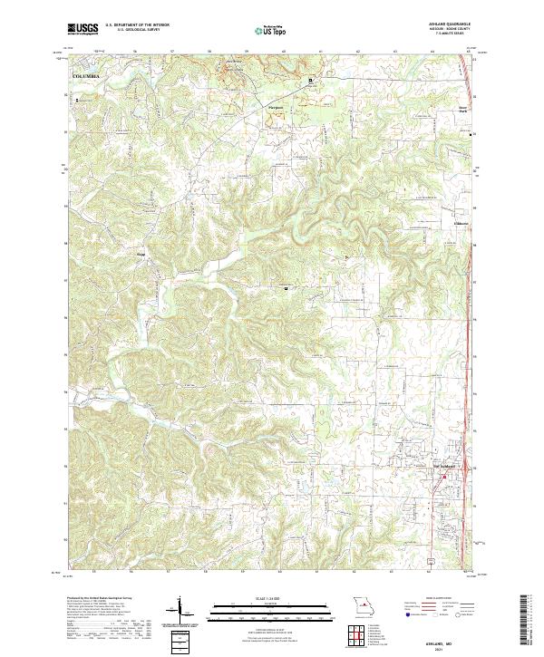 2021 Ashland2021 Print · USGSBoone County south of the state capital area reveals its rural character and growing settlements in the early 2020s. Genealogists and hikers can trace family sites like Samuel Cem or explore the terrain of Rock Bridge and the Devils Icebox.
 - 2021 Map of Millersburg SW, 2021 Print
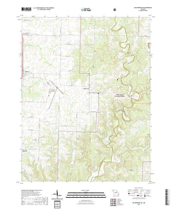 2021 Millersburg SW2021 Print · USGSBoone County's landscape in the early 2020s is defined by the Columbia Regional Airport and the forested reaches of the Mark Twain National Forest. Trace family history at Johnson Cem or explore the terrain near Devil's Backbone and Duley Mill Bridge.
End of results
Showing maps 1-23 of 23
Top cities near Ashland
- Columbia historical maps
- Jefferson City historical maps
- Holts Summit historical maps
- New Bloomfield historical maps
- Jamestown historical maps
- Lake Mykee Town historical maps
See more
Frequently asked questions
- What are the different types of historical maps available for Ashland?
- What is the oldest map of Ashland?
- Where can I purchase historical maps of Ashland for my home or office?
- Where can I download high-res historical maps of Ashland?
- Are there historical topographic maps available for Ashland?
- Is there historical aerial imagery available for Ashland?
- Where are historical maps of Ashland sourced from?