Old Maps of Centralia, Missouri for Academic Research
Study the evolution of Centralia with 17 high-resolution historic maps. Whether you're teaching, researching, or modeling changes in land use, these maps provide essential visual documentation of urban, environmental, and geographic change.
- Analyze long-term change: Track patterns in development, transportation, and natural features.
- Ideal for environmental or urban studies: Support academic projects with primary historical map data.
- Use in the classroom or lab: Educators and researchers rely on these maps to bring historical context to life.
These maps are a powerful tool for teaching, research, and visualizing how Centralia has changed over the decades.
Centralia, MO maps
(17)- 1890 Map of Moberly
 1890 Moberly1890 Print · USGSMid-Missouri at the close of the frontier era was a landscape defined by the iron rails of the Wabash and Chicago & Alton lines. Genealogists can trace early homesteads and rail stops from Moberly to Centralia, and find rural communities like Middle Grove or Dripping Spring.6 unique versions available
 - 1945 Map of Centralia
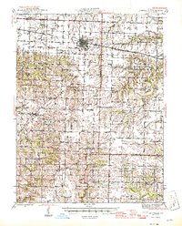 1945 Centralia1945 Print · USGSNorth Central Missouri is shown just after the war, featuring a landscape defined by its rail junctions and numerous rural school districts. Genealogists can trace family heritage through dozens of named sites like Skull Lick Cem, Hallsville, and Angell Sch.2 unique versions available
 - 1953 Map of Moberly
 1953 Moberly1953 Print · USGSMid-century north-central Missouri is documented here as a bustling intersection of river commerce and heavy rail. Researchers can trace historic family-named landmarks and transport hubs from the Missouri River corridor to the rail yards of Moberly, Chillicothe, and Macon.
 - 1954 Map of Moberly, 1969 Print
 1954 Moberly1969 Print · USGSMid-century Missouri is captured here during a period of transition for its river towns and rail hubs. Genealogists and historians can trace the paths of the Wabash railroad through Moberly or explore the riverside layout of Lexington and Brunswick.3 unique versions available
 - 1957 Map of Moberly
 1957 Moberly1957 Print · USGSNorth-central Missouri in the late nineteen-forties and fifties remains a landscape defined by its great rivers and a dense network of steam and diesel rail lines. Genealogists and historians can trace the paths of the Wabash RR and Santa Fe RR through historic junctions like Moberly, Brookfield, and Macon.
 - 1960 Map of Moberly
 1960 Moberly1960 Print · USGSCentral Missouri comes alive in the mid-twentieth century as a bustling network of river towns and significant rail corridors. Genealogists and historians can trace the paths of the Wabash RR through Moberly or explore the riverfronts of Lexington and Brunswick.
 - 1969 Map of Centralia, 1971 Print
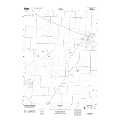
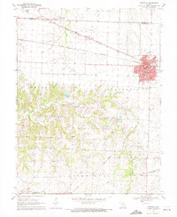 1969 Centralia1971 Print · USGSThe mid-Missouri rail hub of Centralia is captured here at the close of the 1960s as it straddles the Audrain and Boone county line. Researchers can trace the town's growth along the Norfolk and Western tracks or locate landmarks like Sunnydale Academy and Fax West Cem.3 unique versions available
 - 1969 Map of Centralia NE, 1971 Print
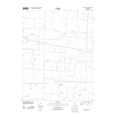
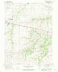 1969 Centralia NE1971 Print · USGSAudrain and Boone counties are captured in the late sixties as rail lines and small-town growth reshaped the rural Missouri landscape. Genealogists can trace family roots through landmarks like Skull Lick Cem, German Cem, and the community at Liberty.
 - 1985 Map of Moberly
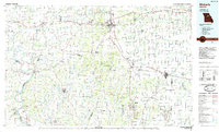 1985 Moberly1985 Print · USGSCentral Missouri in the mid-eighties shows a landscape of rail-connected towns and active resource extraction across Randolph and Howard Counties. Genealogists and historians can locate family landmarks like Sunset Hill Cem or trace the Norfolk and Western RR through Moberly and Salisbury.2 unique versions available
 - 2012 Map of Centralia, 2012 Print
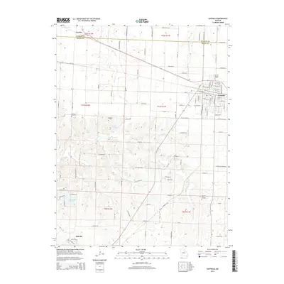
 2012 Centralia2012 Print · USGSCovers Centralia, including Hallsville, Larrabee, and other nearby areas
 - 2012 Map of Centralia NE, 2012 Print
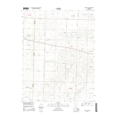
 2012 Centralia NE2012 Print · USGSCovers Centralia, including Boone County, Audrain County, and other nearby areas
 - 2014 Map of Centralia, 2014 Print
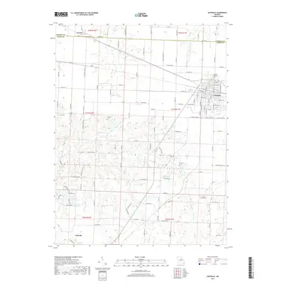
 2014 Centralia2014 Print · USGSCovers Centralia, including Hallsville, Larrabee, and other nearby areas
 - 2014 Map of Centralia NE, 2014 Print
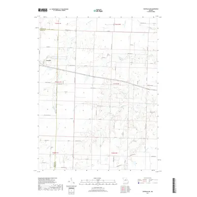
 2014 Centralia NE2014 Print · USGSCovers Centralia, including Boone County, Audrain County, and other nearby areas
 - 2017 Map of Centralia, 2017 Print
 2017 Centralia2017 Print · USGSCovers Centralia, including Hallsville, Larrabee, and other nearby areas
 - 2017 Map of Centralia NE, 2017 Print
 2017 Centralia NE2017 Print · USGSCovers Centralia, including Boone County, Audrain County, and other nearby areas
 - 2021 Map of Centralia, 2021 Print
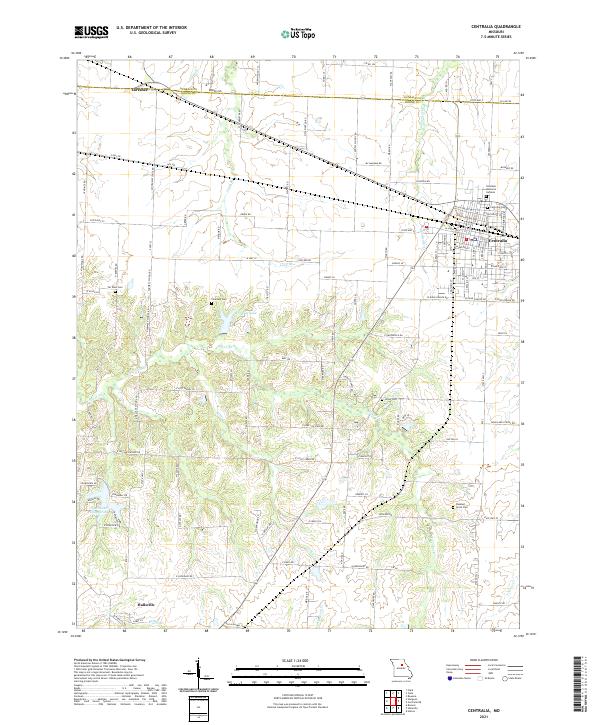 2021 Centralia2021 Print · USGSThe northern Missouri borderlands between Boone and Audrain counties appear here in their modern agricultural and residential configuration. Genealogists and local historians can trace family plots at Centralia Cem or find smaller sites like Fountain Cem and Union Cem.
 - 2021 Map of Centralia NE, 2021 Print
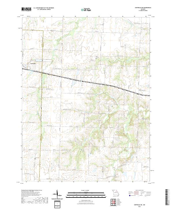 2021 Centralia NE2021 Print · USGSAudrain County’s agricultural heartland is documented here in the early twenty-first century as the city of Centralia expands toward the county line. Genealogists and local historians can locate early burial sites like Skull Lick Cem and German Cem or trace the route of the Wabash RR.
End of results
Showing maps 1-17 of 17
Top cities near Centralia
- Columbia historical maps
- Mexico historical maps
- Auxvasse historical maps
- Hallsville historical maps
- Sturgeon historical maps
- Clark historical maps
Frequently asked questions
- What are the different types of historical maps available for Centralia?
- What is the oldest map of Centralia?
- Where can I purchase historical maps of Centralia for my home or office?
- Where can I download high-res historical maps of Centralia?
- Are there historical topographic maps available for Centralia?
- Is there historical aerial imagery available for Centralia?
- Where are historical maps of Centralia sourced from?