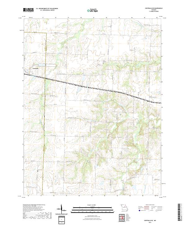
2021 Map of Centralia NE
USGS Topo · Published 2021About this map
Centralia sits at the western edge of this Audrain County landscape, where the long legacy of the Wabash RR follows the southern shore of Wabash Lake. This agricultural region north of the Missouri River is defined by a dendritic network of streams including Skull Lick Cr and Possum Walk Cr that drain into the Scattering Fork. The transition from Boone County is clearly marked by N Rangeline Rd, serving as a primary north-south axis through the rural countryside.
Find a feature on this map
66 named features on this map. Tap any name to fly to it.
Don’t see what you’re looking for? This feature index may not catch every label — zoom into the map to look around manually.
Map Details
Editions of this 2021 Centralia NE Map
This is the sole edition of this map. No revisions or reprints were ever made.
Other maps of this area

1890 · Mexico
USGS Topo · 1:125,000

1890 · Moberly
USGS Topo · 1:125,000

1932 · Mexico
USGS Topo · 1:62,500

1945 · Florida
USGS Topo · 1:62,500

1945 · Centralia
USGS Topo · 1:62,500

1948 · Quincy
USGS Topo · 1:250,000

1953 · Moberly
USGS Topo · 1:250,000

1954 · Moberly
USGS Topo · 1:250,000

1956 · Quincy
USGS Topo · 1:250,000

1957 · Moberly
USGS Topo · 1:250,000