
1945 Map of Florida
USGS Topo · Published 1945About this map
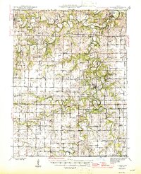
The Middle Fork Salt River, Elk Fork Salt River, and South Fork Salt River converge in this mid-century survey of the Missouri landscape. The village of Florida sits near the forks, surrounded by a dense network of rural infrastructure including the Walnut Grove Cem and several community hubs like the Cedar Grove Ch and New Hope Ch. The terrain is defined by its drainage, with numerous named tributaries such as Long Branch, Brush Creek, and Wildcat Creek carving through the prairie and timber.
Find a feature on this map
71 named features on this map. Tap any name to fly to it.
Don’t see what you’re looking for? This feature index may not catch every label — zoom into the map to look around manually.
Map Details
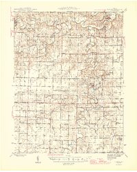
Editions of this 1945 Florida Map
3 editions found
Other maps of this area

1890 · Mexico
USGS Topo · 1:125,000

1890 · Moberly
USGS Topo · 1:125,000

1903 · Palmyra
USGS Topo · 1:125,000

1932 · Mexico
USGS Topo · 1:62,500

1942 · Wellsville
USGS Topo · 1:62,500

1945 · Perry
USGS Topo · 1:62,500

1945 · Centralia
USGS Topo · 1:62,500

1948 · Quincy
USGS Topo · 1:250,000

1953 · Moberly
USGS Topo · 1:250,000

1954 · Moberly
USGS Topo · 1:250,000