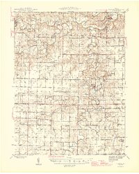
1945 Map of Florida
USGS Topo · Published 1945About this map
The Middle Fork Salt River and South Fork Salt River converge in this mid-century Missouri landscape, a region defined by its dense network of rural school districts and small riverfront settlements. The map illustrates a strictly agrarian economy before major hydrological changes, showing the historic village of Florida and the community of Santa Fe as they functioned in the 1940s. Genealogists will find a wealth of specific landmarks, from Scobee Cem and Mt Zion Cem to numerous family-named schools like Kirkland Sch, Dashner Sch, and Poage Sch. The presence of Abandoned Mines near the eastern edge suggests a transition from earlier resource extraction to the established farming townships of Jackson and South Fork.
Find a feature on this map
75 named features on this map. Tap any name to fly to it.
Don’t see what you’re looking for? This feature index may not catch every label — zoom into the map to look around manually.
Map Details
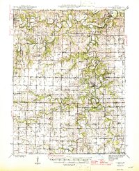
Editions of this 1945 Florida Map
3 editions found
Other maps of this area

1890 · Mexico
USGS Topo · 1:125,000

1890 · Moberly
USGS Topo · 1:125,000

1903 · Palmyra
USGS Topo · 1:125,000

1932 · Mexico
USGS Topo · 1:62,500

1942 · Wellsville
USGS Topo · 1:62,500

1945 · Florida
USGS Topo · 1:62,500

1945 · Perry
USGS Topo · 1:62,500

1945 · Centralia
USGS Topo · 1:62,500

1948 · Quincy
USGS Topo · 1:250,000

1953 · Moberly
USGS Topo · 1:250,000