2000s (21st Century) Maps of Raymore, Missouri
Explore 8 historic maps of Raymore from the 2000s (21st Century). These maps offer a rare glimpse into what life looked like during the 2000s — showing old roads, neighborhoods, homes, and landmarks that have changed or disappeared over time.
Whether you're researching your family's past, planning a metal detecting trip, or studying how Raymore's landscape evolved across the 2000s, these high-resolution maps are a powerful tool for exploring the history of this region.
- Focus on a specific era: All maps on this page are from the 2000s, giving you a focused view of this time period.
- See what’s changed: Compare century-old streets, trails, and buildings to today's modern landscape using overlays and satellite layers.
- Research with precision: Use these maps for genealogy, historical research, land use analysis, or educational projects.
- View, download, or print: Maps are fully viewable online in high resolution, and can be downloaded or printed for your own records.
Start exploring Raymore's history through authentic maps from the 2000s. This is your window into the past.
Raymore, MO maps
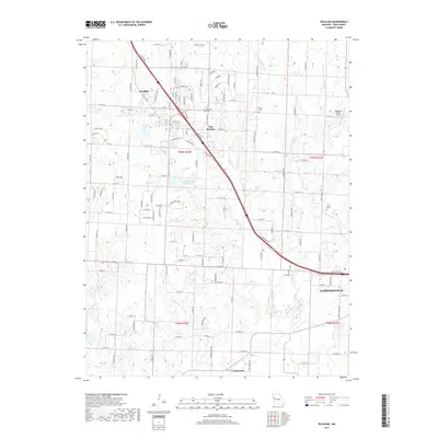
(8)- 2011 Map of Raymore, 2011 Print
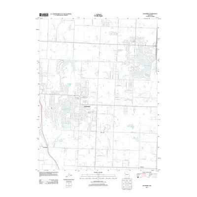 2011 Raymore2011 Print · USGSCovers Raymore, including Kansas City, Lee's Summit, and other nearby areas
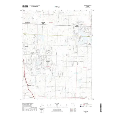
 - 2012 Map of Peculiar, 2012 Print
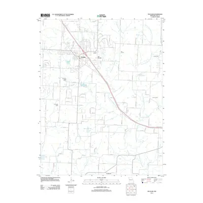 2012 Peculiar2012 Print · USGSCovers Raymore, including Harrisonville, Peculiar, and other nearby areas
 - 2015 Map of Peculiar, 2015 Print
 2015 Peculiar2015 Print · USGSCovers Raymore, including Harrisonville, Peculiar, and other nearby areas
 - 2015 Map of Raymore, 2015 Print
 2015 Raymore2015 Print · USGSCovers Raymore, including Kansas City, Lee's Summit, and other nearby areas
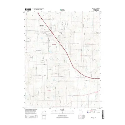
 - 2017 Map of Peculiar, 2017 Print
 2017 Peculiar2017 Print · USGSCovers Raymore, including Harrisonville, Peculiar, and other nearby areas
 - 2017 Map of Raymore, 2017 Print
 2017 Raymore2017 Print · USGSCovers Raymore, including Kansas City, Lee's Summit, and other nearby areas
 - 2021 Map of Peculiar, 2021 Print
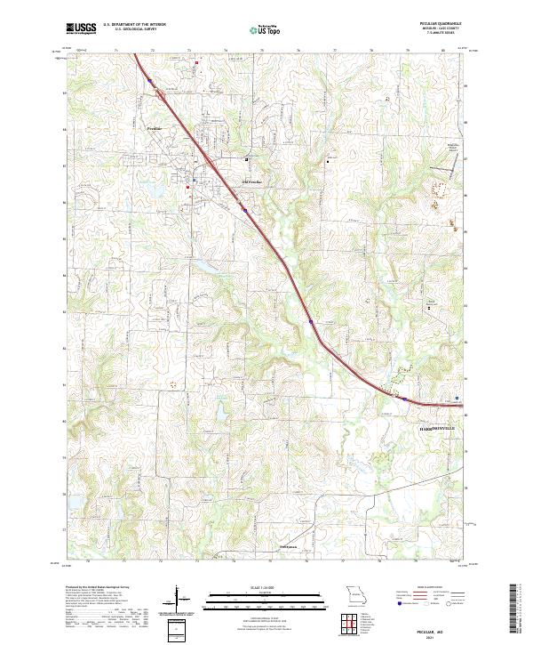 2021 Peculiar2021 Print · USGSThe area around Peculiar and Harrisonville is captured here during a period of modern growth and suburban development. Genealogists and local historians can locate early burial sites like Peculiar Cemetery and Wills Cemetery or trace the family-named Brown Family Cemetery.
 - 2021 Map of Raymore, 2021 Print
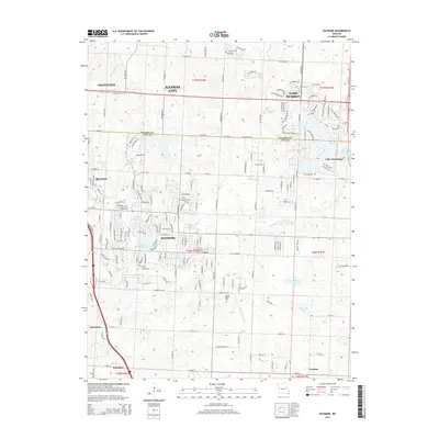
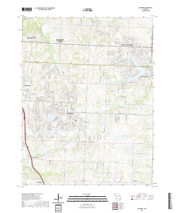 2021 Raymore2021 Print · USGSRaymore and its neighboring Cass County communities are shown during a period of modern growth. Genealogists and local historians can trace the developments surrounding Raymore, the Raymore Cem, and smaller locales like Peculiar and Harrelson.
End of results
Showing maps 1-8 of 8
Top cities near Raymore
- Kansas City historical maps
- Overland Park historical maps
- Independence historical maps
- Lee's Summit historical maps
- Blue Springs historical maps
- Leawood historical maps
See more
Frequently asked questions
- What are the different types of historical maps available for Raymore?
- What is the oldest map of Raymore?
- Where can I purchase historical maps of Raymore for my home or office?
- Where can I download high-res historical maps of Raymore?
- Are there historical topographic maps available for Raymore?
- Is there historical aerial imagery available for Raymore?
- Where are historical maps of Raymore sourced from?