Old Maps of El Dorado Springs, Missouri for Metal Detecting
Plan your next treasure hunt with 35 historic maps of El Dorado Springs. Find old homesites, ghost towns, trails, and gathering spots that may be lost to time — perfect for identifying promising metal detecting locations.
- Locate forgotten sites: Uncover places like long-lost settlements, abandoned rail lines, or gathering spots.
- Plan better hunts: Use map overlays combined with LiDAR or satellite views to narrow in on historically rich areas.
- Made for detectorists: Thousands of hobbyists use these maps to discover relics, coins, and hidden history.
Use these historic maps to boost your research and find new opportunities beneath the surface of El Dorado Springs.
El Dorado Springs, MO maps
(35)- 1886 Map of Nevada
 1886 Nevada1886 Print · USGSRailroads and river valleys define southwestern Missouri in the late nineteenth century, as the landscape transitions into a series of organized townships and trade centers. Genealogists and local historians can trace early settlements like Moundville, Montevallo, and El Dorado Springs along the Missouri Pacific Railroad.
 - 1886 Map of Stockton
 1886 Stockton1886 Print · USGSSouthwest Missouri in the mid-1880s was a landscape of river-bottom farms and emerging rail towns along the Kansas City Clinton and Springfield R. R. Trace vanished post offices and local landmarks like Johnson's Mill, Dunnegan Springs, and the early streets of Stockton.3 unique versions available
 - 1894 Map of Nevada
 1894 Nevada1894 Print · USGSWestern Missouri at the end of the nineteenth century is defined here by its emerging rail towns and expansive prairie townships. Genealogists and local historians can trace the early development of Nevada and Lamar alongside smaller settlements like Montevallo and El Dorado Springs.5 unique versions available
 - 1939 Map of Eldorado Springs North, 1959 Print
 1939 Eldorado Springs North1959 Print · USGSMissouri's western borderlands come to life in the late 1930s, showing a landscape of small school districts and creekside farms. Genealogists can trace family roots at Lefler Cem, Oak Grove Ch, and schools like Jackson Sch or Union Sch.2 unique versions available
 - 1939 Map of Filley, 1966 Print
 1939 Filley1966 Print · USGSCedar County rural life is captured here in the late 1930s, showing a landscape of small settlements and family farms. Genealogists can trace local roots through numerous landmarks like Vandenburg Cem, Hazel Dell Sch, and the crossroads at Filley.2 unique versions available
 - 1939 Map of Eldorado Springs South, 1966 Print
 1939 Eldorado Springs South1966 Print · USGSMissouri's southwestern borderlands are captured here in the late thirties, showing a landscape defined by small-town life and rural school districts. Genealogists can locate Mt Pleasant Cem and local landmarks like Nine Wonders Sch or White Hall Ch.2 unique versions available
 - 1940 Map of Filley
 1940 Filley1940 Print · USGSCedar County was a landscape of remote farmsteads and scattered rural schools at the end of the Depression. Genealogists can trace family footprints across dozens of local landmarks, from the Wright Cem and Tennessee Cem to the crossing at Ivy Bridge.2 unique versions available
 - 1941 Map of Eldorado Springs North
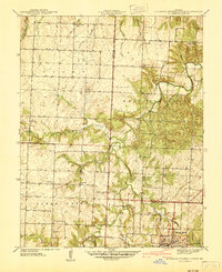 1941 Eldorado Springs North1941 Print · USGSSouthwestern Missouri is captured here in the late thirties and early forties, showing the rural landscapes of St. Clair and Cedar Counties. Researchers can trace the rail-era footprint of Eldorado Springs and locate local landmarks like Lefler Cem and Forest Grove Sch.
 - 1942 Map of Eldorado Springs South
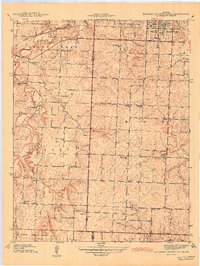 1942 Eldorado Springs South1942 Print · USGSCedar County and Vernon County are captured here just before the war, when small rural schools and churches still anchored every few miles. Trace family roots at Clintonville, Virgil City, or local landmarks like Nine Wonders Sch and Sulphur Springs Ch.
 - 1947 Map of Joplin, 1954 Print
 1947 Joplin1954 Print · USGSThe borderlands of Missouri, Kansas, and Oklahoma are shown here during the late 1940s, a period of heavy industrial and military activity. Researchers can trace the extensive Tri-State Mining District, the layout of Camp Crowder, and local landmarks like Mount Hope Cem.
 - 1949 Map of Joplin
 1949 Joplin1949 Print · USGSThe Kansas-Missouri borderlands thrive in the late 1940s, showing a robust network of railroad towns and river valleys. Researchers can trace historic rail lines like the Missouri Pacific RR and locate rural centers such as Chanute, Iola, and Fort Scott.
 - 1954 Map of Springfield
 1954 Springfield1954 Print · USGSThe Missouri Ozarks are captured here during the post-war era, showing the expansion of Springfield and the surrounding river valleys. Genealogists and historians can trace local landmarks like Mount Comfort Cemetery and the Fort Leonard Wood military grounds.6 unique versions available
 - 1954 Map of Joplin, 1967 Print
 1954 Joplin1967 Print · USGSThe tri-state border region of Kansas, Missouri, and Oklahoma is captured here during a peak era of mid-century industrial and agricultural activity. Researchers can trace family history through dozens of rural cemeteries or locate landmarks like the Kansas Army Ammunition Plant and Pittsburg State University.3 unique versions available
 - 1958 Map of Springfield
 1958 Springfield1958 Print · USGSThe Missouri Ozarks are captured during the mid-century era of growth, centered on the bustling hub of Springfield. Genealogists and historians can trace family roots through numerous landmarks like Ebenezer Church, Stockton Cem, and the various county courthouses.
 - 1958 Map of Joplin
 1958 Joplin1958 Print · USGSThe tri-state border region of Missouri, Kansas, and Oklahoma is shown during the late fifties, a time of heavy rail traffic and mining activity. Local historians can trace the industrial landscape through the Joplin & Pittsburg Ry or locate family sites like Zion Ch and Bender Mounds.
 - 1959 Map of Joplin
 1959 Joplin1959 Print · USGSThe Tri-State region’s mining and rail-driven economy is on full display in the late fifties. Genealogists can locate Lead and Zinc Mines near Joplin, family markers at Oak Hill Cem, and military history at Camp Clark.
 - 1959 Map of Springfield
 1959 Springfield1959 Print · USGSThe Missouri Ozarks are captured here during a decade of postwar growth and increasing highway connectivity. Researchers can trace the legacy of the St Louis-San Francisco RR and locate early sites in Springfield, Lebanon, and Mountain Grove.
 - 1984 Map of Bolivar
 1984 Bolivar1984 Print · USGSWestern Missouri in the mid-eighties shows a landscape shaped by large-scale water management and rail commerce. Genealogists and historians can trace the development of towns like Bolivar and El Dorado Springs alongside the massive Stockton Lake.
 - 1986 Map of Nevada
 1986 Nevada1986 Print · USGSThe Missouri-Kansas borderlands in the mid-1980s show a landscape of active rail lines and coal mining. Researchers can trace the Old Military Road or locate family plots in the National Cemetery and Deepwood Cemetery.
 - 1991 Map of El Dorado Springs North
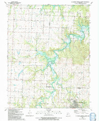 1991 El Dorado Springs North1991 Print · USGSThe rural borderlands of Cedar and St. Clair counties are documented here in the early nineties as El Dorado Springs expanded. Genealogists and historians can locate family landmarks like Lefler Cem, Portia, and the old Railroad Grade.
 - 1991 Map of El Dorado Springs South
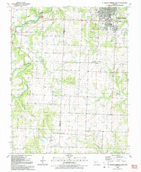 1991 El Dorado Springs South1991 Print · USGSCedar and Vernon Counties were well-established rural communities by the early nineties, centered around agricultural hubs. Genealogists can trace family names and local landmarks through the Virgil City Cemetery, Union Hall Church, and the streets of El Dorado Springs.
 - 1991 Map of Nevada
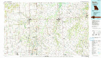 1991 Nevada1991 Print · USGSThis borderland region in the early nineties captures the transition from Kansas plains to Missouri timber. Researchers can trace family history through Bunn Cemetery, locate the Camp Clark Military Reservation, and explore rail towns like Nevada and Fort Scott.
 - 1991 Map of Filley, 1992 Print
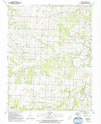 1991 Filley1992 Print · USGSCedar County is mapped here in the early nineties, revealing a dense network of rural churches and family-named cemeteries. Trace local history through Cedar Springs, Pacetown, and landmarks like Hazel Dell Ch.
 - 2011 Map of Filley, 2011 Print
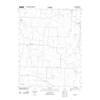 2011 Filley2011 Print · USGSCedar County at the start of the 2010s reveals a deeply rooted rural landscape of crossroads settlements and family cemeteries. Researchers can trace local lineages through sites like Wright Cemetery and Tennessee Cemetery or explore small centers like Filley and Willowville.
 - 2011 Map of El Dorado Springs South, 2011 Print
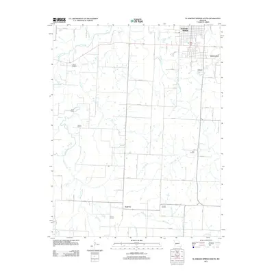 2011 El Dorado Springs South2011 Print · USGSThe rural landscape south of El Dorado Springs is captured here during the early twenty-first century as agricultural traditions and modern infrastructure intersect. Genealogists can locate several historic burial grounds, including Watkins Cemetery, Clintonville Cemetery, and the Virgil City Cemetery.
Showing maps 1-25 of 35
Top cities near El Dorado Springs
- Stockton historical maps
- Schell City historical maps
- Walker historical maps
- Montevallo historical maps
- Rockville historical maps
- Roscoe historical maps
See more
Frequently asked questions
- What are the different types of historical maps available for El Dorado Springs?
- What is the oldest map of El Dorado Springs?
- Where can I purchase historical maps of El Dorado Springs for my home or office?
- Where can I download high-res historical maps of El Dorado Springs?
- Are there historical topographic maps available for El Dorado Springs?
- Is there historical aerial imagery available for El Dorado Springs?
- Where are historical maps of El Dorado Springs sourced from?