2020s Maps of Clark County, Missouri
Explore 18 historic maps of Clark County from the 2020s. These maps offer a rare glimpse into what life looked like during the 2020s — showing old roads, neighborhoods, homes, and landmarks that have changed or disappeared over time.
Whether you're researching your family's past, planning a metal detecting trip, or studying how Clark County's landscape evolved across the 2020s, these high-resolution maps are a powerful tool for exploring the history of this region.
- Focus on a specific era: All maps on this page are from the 2020s, giving you a focused view of this time period.
- See what’s changed: Compare century-old streets, trails, and buildings to today's modern landscape using overlays and satellite layers.
- Research with precision: Use these maps for genealogy, historical research, land use analysis, or educational projects.
- View, download, or print: Maps are fully viewable online in high resolution, and can be downloaded or printed for your own records.
Start exploring Clark County's history through authentic maps from the 2020s. This is your window into the past.
Clark County, MO maps
(18)- 2021 Map of Warsaw, 2021 Print
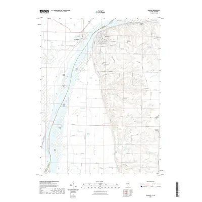 2021 Warsaw2021 Print · USGSWarsaw and the Mississippi River bottomlands are captured in this recent survey at the intersection of Illinois and Missouri. Researchers can trace the river's braided channels past Kamps-Stiens Island and locate local landmarks like Oakland Cem and Jan Knipe Airport.
 - 2021 Map of Lima, 2021 Print
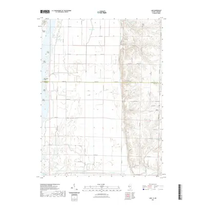 2021 Lima2021 Print · USGSThe Illinois river bottoms and the bluffs of Adams County meet in this recent landscape survey. Researchers can locate numerous family burial grounds like Oak Valley and Gallemore, while tracing the complex water management of Bluff Canal and Steepage Ditch.
 - 2021 Map of Canton, 2021 Print
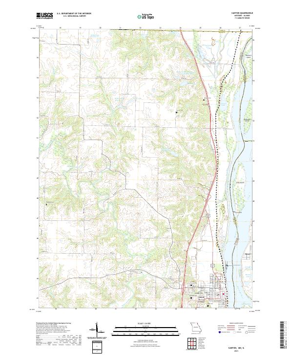 2021 Canton2021 Print · USGSThe riverfront town of Canton and its Illinois neighbor Meyer are shown here as they appeared in the early 2020s. Researchers can locate longstanding landmarks like Culver Stockton College and family burial sites at Gregory Cem or Hardin Cem.
 - 2021 Map of Colony, 2021 Print
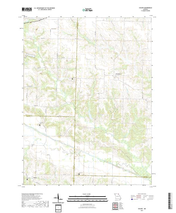 2021 Colony2021 Print · USGSNortheast Missouri agriculture and river drainages define this quiet landscape as it appeared in the early 2020s. Genealogists can locate several family and community burial sites, such as Standiford Cem and Sutter Cem, near Fairmont and Colony.
 - 2021 Map of Kahoka SE, 2021 Print
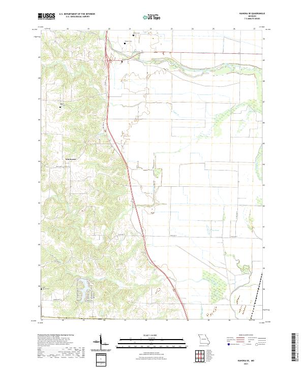 2021 Kahoka SE2021 Print · USGSNortheastern Missouri farmland and river bottoms are captured here in the early twenty-first century. Genealogists can locate several family landmarks such as Frazee Cem and Mount Zion Cem, or trace the winding course of the Fox River.
 - 2021 Map of Anson, 2021 Print
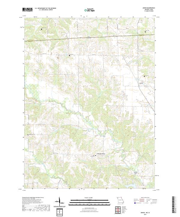 2021 Anson2021 Print · USGSNorthern Missouri and the Iowa borderlands are captured here in the early 2020s, showcasing a rural landscape shaped by the Fox River and its many branches. Genealogists can locate numerous local burial grounds including Christy Cem, Spencer Cem, and the settlement of Chambersburg.
 - 2021 Map of Neeper, 2021 Print
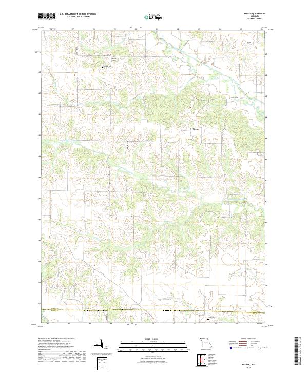 2021 Neeper2021 Print · USGSClark County at the start of the 2020s remains a landscape of river bends and quiet country roads. Researchers can locate family heritage sites like the Old German Cem, Schuster Cem, and Carlin Cem near the small settlement of Neeper.
 - 2021 Map of Medill, 2021 Print
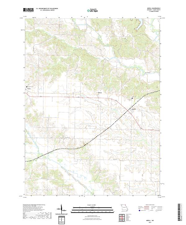 2021 Medill2021 Print · USGSNortheastern Missouri farm country and river bottoms come into focus in this recent study of the Clark County landscape. Researchers can locate family burial sites at Zimmerman Cem and Medill Cem or trace the winding course of the Wyaconda River.
 - 2021 Map of Saint Patrick, 2021 Print
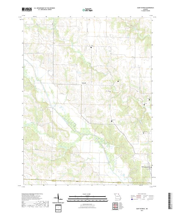 2021 Saint Patrick2021 Print · USGSNortheast Missouri agriculture and river drainage define this area near the Clark and Lewis county line in 2021. Genealogists can locate several historic burial sites like Sisson Cem, Higbee Cem, and Saint Patrick Cem near the Wyaconda River.
 - 2021 Map of Wyaconda, 2021 Print
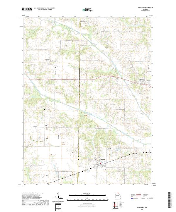 2021 Wyaconda2021 Print · USGSNortheast Missouri at the start of the 2020s reveals a landscape of enduring rural settlements and complex river systems. Local historians can trace family roots through Granger Cem and Blattner Cem or explore the old watercourses of the Old Channel South Wyaconda River.
 - 2021 Map of Kahoka, 2021 Print
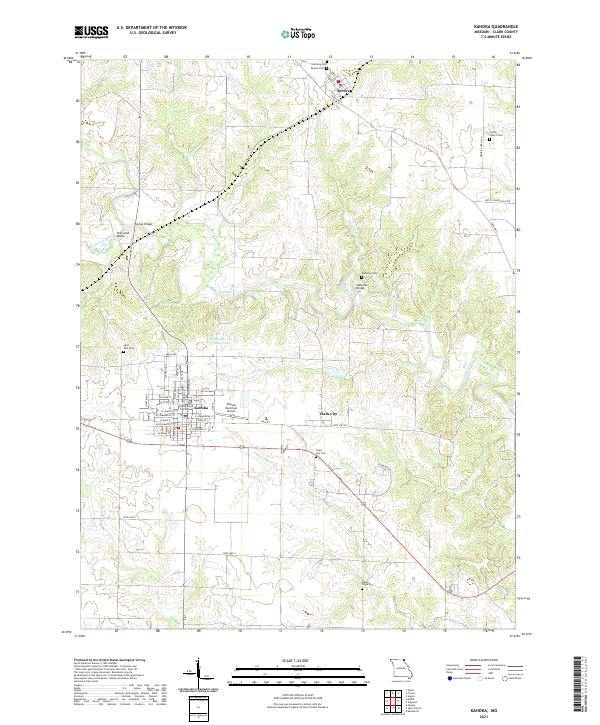 2021 Kahoka2021 Print · USGSKahoka and the surrounding Clark County uplands are documented here during the early twenty-first century, showcasing a landscape shaped by the Fox River and its many tributaries. Genealogists can locate several local burial sites including Saint Paul Cem and Sugar Creek Cem, while historians can trace the street plan around the Clark County Courthouse.
 - 2021 Map of Wayland, 2021 Print
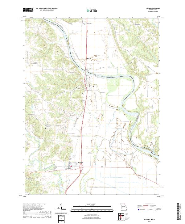 2021 Wayland2021 Print · USGSNortheastern Missouri meets the Iowa border in the early 2020s, centered on the river-bend settlements of Clark County. Researchers can trace family history at Sand Cem and Wolf Cem or locate the historic crossings at St. Francisville and the Wayland Bridge.
 - 2022 Map of Croton, 2022 Print
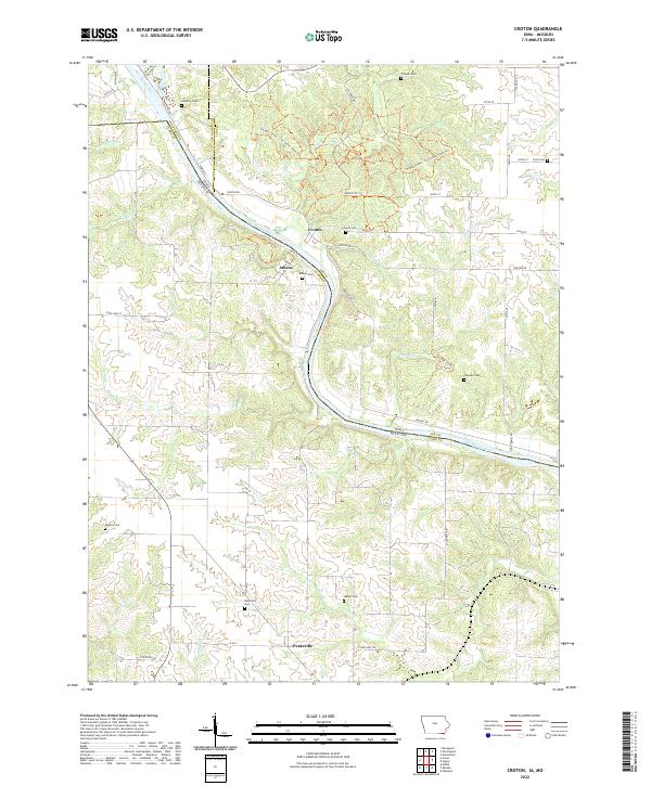 2022 Croton2022 Print · USGSAlong the Iowa and Missouri border, this recent survey captures the quiet river settlements of Croton and Athens. Genealogists and historians can trace deep local roots through a high concentration of burial sites, including Salubria Cem, Cook Cem, and Shaffer Cem.
 - 2022 Map of Argyle, 2022 Print
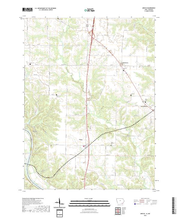 2022 Argyle2022 Print · USGSSoutheastern Iowa's river border comes into focus in this recent survey of the settlements between the Des Moines River and the Missouri line. Researchers can locate numerous family and community landmarks, including String Prairie Cem, South Cem, and the valley at Ghost Hollow.
 - 2022 Map of Keokuk, 2022 Print
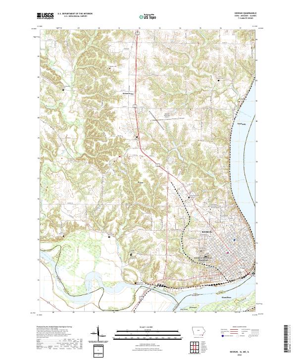 2022 Keokuk2022 Print · USGSThe confluence of the great rivers at the Iowa, Missouri, and Illinois borders comes into sharp focus during this era of modern development. Genealogists and local historians can trace family roots through numerous burial sites like Oakland Cem and the Scandinavian Cem.
 - 2022 Map of Mount Sterling, 2022 Print
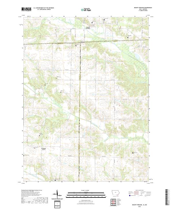 2022 Mount Sterling2022 Print · USGSThe Iowa-Missouri borderlands come into focus in this recent survey of Van Buren and Clark counties. Local researchers can trace family sites across the state line, from the streets of Mount Sterling to rural burial grounds like Harness Cem and Gorgas Cem.
 - 2024 Map of Warsaw, 2024 Print
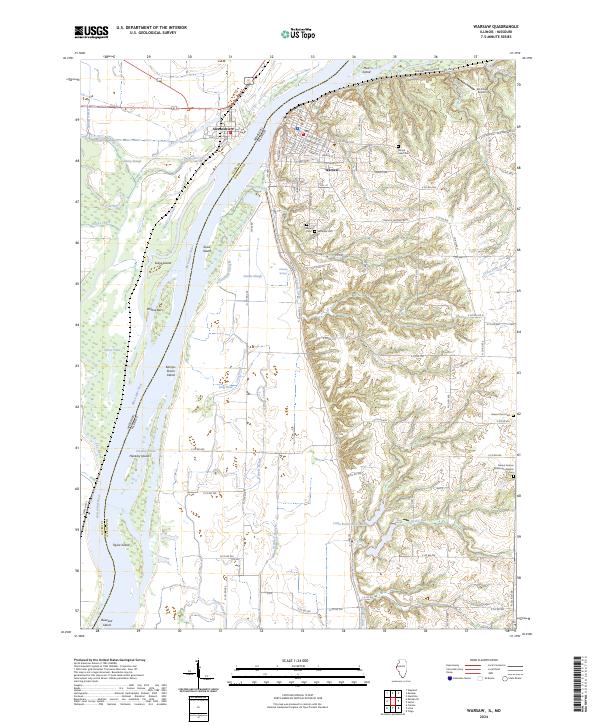 2024 Warsaw2024 Print · USGSThe riverfront communities of Warsaw and Alexandria sit at a historic Illinois-Missouri crossroads. Genealogists and local historians can trace family locations at Oakland Cem, Green Plains Cem, and Sacred Heart Cem.
 - 2024 Map of Lima, 2024 Print
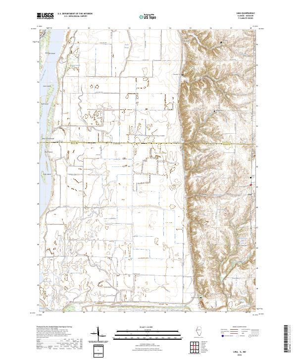 2024 Lima2024 Print · USGSWestern Illinois bottomlands meet the bluffs at the Adams and Hancock County line in this recent study of the river landscape. Researchers can locate family sites at Lima Cem and Fletcher Cem or trace the drainage of Lima Slough into the Mississippi River.
End of results
Showing maps 1-18 of 18
Top cities of Clark County
- Kahoka historical maps
- Wayland historical maps
- Wyaconda historical maps
- Alexandria historical maps
- Revere historical maps
- Luray historical maps
Frequently asked questions
- What are the different types of historical maps available for Clark County?
- What is the oldest map of Clark County?
- Where can I purchase historical maps of Clark County for my home or office?
- Where can I download high-res historical maps of Clark County?
- Are there historical topographic maps available for Clark County?
- Is there historical aerial imagery available for Clark County?
- Where are historical maps of Clark County sourced from?