Old Maps of Claycomo, Missouri for Hiking & Exploration
Hike through history with 29 historic maps of Claycomo. Explore old trails, ghost towns, and forgotten backroads — perfect for outdoor adventurers and local explorers.
- Rediscover forgotten places: Map out old mining camps, roads, and footpaths that no longer exist on modern maps.
- Layer with modern tools: Combine with LiDAR or satellite views to plan hikes through historical terrain.
- Made for exploration: Popular among hikers, overlanders, and local history lovers.
Use these maps to find adventure and explore the hidden past of Claycomo.
Claycomo, MO maps
(29)- 1890 Map of Kansas City
 1890 Kansas City1890 Print · USGSThe Missouri River valley at the turn of the decade shows a booming rail-and-river economy centered on KANSAS CITY. Researchers can trace the early footprints of settlements like White Church, Lansing, and Smithville before modern expansion.2 unique versions available
 - 1894 Map of Kansas City
 1894 Kansas City1894 Print · USGSThe Missouri River valley at the close of the nineteenth century was a bustling intersection of military life and frontier commerce. Genealogists can trace family roots through river towns like Weston and Parkville or locate early railroad hubs at Settles Station and Beverly Junction.14 unique versions available
 - 1894 Map of Independence
 1894 Independence1894 Print · USGSThe river valley and rail corridors of western Missouri are captured in detail during the late nineteenth century. Researchers can trace the early layouts of Liberty and Independence alongside lost river features like Liberty Landing and Cooley Lake.5 unique versions available
 - 1935 Map of North Kansas City
 1935 North Kansas City1935 Print · USGSNorth Kansas City and the Missouri River bluffs appear here in the mid-1930s as industrial development begins to reshape the river valley. You can trace early aviation sites like Fairfax Landing Field and community anchors like Gashland Sch and Winnwood Lake.
 - 1935 Map of Liberty, 1955 Print
 1935 Liberty1955 Print · USGSThe Missouri River bluffs and river bottoms near Liberty were a hub of rail commerce and education in the mid-thirties. Genealogists and researchers can locate several rural schools and sites like the Odd Fellows Home, Crollie Cem, and Claycomo Mill.2 unique versions available
 - 1940 Map of Liberty
 1940 Liberty1940 Print · USGSClay County at the dawn of the 1940s shows a dense network of river-bottom railroads and hilltop college life. Genealogists can trace family landmarks like Withers Sch, the Odd Fellows Home, and the Depression-era Federal Transient Camp.2 unique versions available
 - 1940 Map of North Kansas City
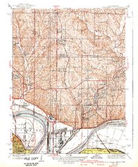 1940 North Kansas City1940 Print · USGSThe industrial riverfront and Clay County uplands are documented here during the mid-1930s as the regional transport network matured. Genealogists and researchers can locate family landmarks like New Stark Cem, Bethel Ch, and the many rural schoolhouses serving Gashland and Barry.2 unique versions available
 - 1948 Map of North Kansas City, 1958 Print
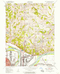 1948 North Kansas City1958 Print · USGSNorth Kansas City and the Missouri River corridor show a bustling mid-century mix of aviation, industry, and early suburban growth. Trace the development of Quindaro, the operations at Fairfax Airport, and local roots at Faubion Cemetery.
 - 1950 Map of Kansas City
 1950 Kansas City1950 Print · USGSMid-century Kansas and Missouri are captured here during a period of industrial growth and shifting transportation. Genealogists and historians can trace rail lines like the Wabash RR or locate ancestral homes near the Potawatomi Indian Reservation and Horton.
 - 1951 Map of North Kansas City
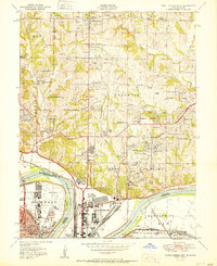 1951 North Kansas City1951 Print · USGSThe Kansas City riverfront was a bustling hub of rail and aviation activity in the early fifties. Genealogists and local historians can trace family roots through landmarks like Quindaro, the Dunbar School, and the historic Antioch Church.2 unique versions available
 - 1954 Map of Kansas City
 1954 Kansas City1954 Print · USGSThe Missouri-Kansas borderlands flourished in the post-war era as river commerce and rail networks converged at the Missouri River. Genealogists and historians can trace the foundations of Kansas City and smaller rural hubs like Hiawatha or Sabetha.
 - 1956 Map of Kansas City, 1967 Print
 1956 Kansas City1967 Print · USGSThe Kansas-Missouri border region thrived during the mid-fifties, centered on the growing metropolitan cores and the busy river valleys. Researchers can trace the layout of significant government sites like Fort Leavenworth and the Lake City Army Ammunition Plant.4 unique versions available
 - 1960 Map of Kansas City
 1960 Kansas City1960 Print · USGSMid-century Kansas and Missouri meet at the river forks, showing a sprawling rail-and-river economy during the 1950s growth era. Genealogists and researchers can trace tribal lands like the Kickapoo Indian Reservation or follow the early interstate corridors through Saint Joseph and Independence.3 unique versions available
 - 1964 Map of North Kansas City
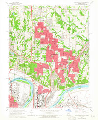 1964 North Kansas City1964 Print · USGSIn the mid-1960s, the northern outskirts of Kansas City were transforming into a suburban corridor along the Missouri River. Genealogists and researchers can trace the growth of Gladstone and Riverside alongside legacy sites like the Old Pike Country Club and White Chapel Memorial Gardens.5 unique versions available
 - 1965 Map of Liberty, 1966 Print
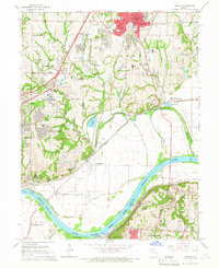 1965 Liberty1966 Print · USGSLiberty and the northern reaches of Kansas City are shown here during a period of significant industrial and institutional growth in the mid-1960s. Researchers can trace historic family plots at Fairview Cemetery and locate vanished local landmarks like the Odd Fellows Home or the Del Bufalo Seminary.3 unique versions available
 - 1983 Map of Kansas City
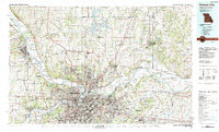 1983 Kansas City1983 Print · USGSThe Missouri-Kansas borderlands reached a peak of suburban and industrial connectivity by the early eighties. Researchers can trace established neighborhoods and major landmarks like the Fort Leavenworth Military Reservation, Swope Park, and the U.S. Army Ammunition Plant.
 - 1990 Map of Liberty, 1996 Print
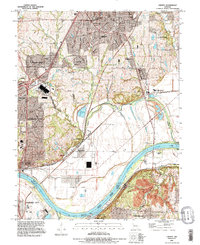 1990 Liberty1996 Print · USGSThe Missouri River corridor in the 1990s reveals a complex landscape of industrial centers and quiet hillside cemeteries. Trace the river-and-rail economy from Cement City to Birmingham, while identifying family landmarks like Pence Cem and New Hope Ch.
 - 1990 Map of North Kansas City, 1996 Print
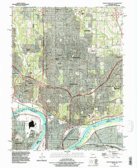 1990 North Kansas City1996 Print · USGSAs North Kansas City and Gladstone expanded in the 1990s, this survey captured the shifting suburban landscape across the Clay County line. Trace family sites at Barry Cem and New Stark Cem, or the riverfront near Goose Island.
 - 1996 Map of Liberty, 2002 Print
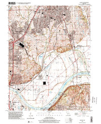 1996 Liberty2002 Print · USGSLiberty and the Missouri River corridor are shown in detail during the mid-nineties as suburban growth met long-standing river industry. Researchers can locate numerous family burial sites like Pence Cem and Mann Cem or trace the river infrastructure near Birmingham.
 - 1997 Map of North Kansas City, 1999 Print
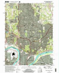 1997 North Kansas City1999 Print · USGSClay County at the end of the millennium shows the dense suburban and industrial evolution of the Northland. Researchers can trace historic burial sites like Barry Cem and major landmarks including the Kansas City Downtown Airport and Chouteau Bridge.2 unique versions available
 - 2009 Map of North Kansas City, 2009 Print
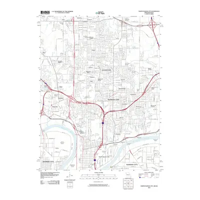 2009 North Kansas City2009 Print · USGSNorth Kansas City and the Northland area are captured here at the close of the first decade of the 2000s, showing a landscape defined by river bends and aviation hubs. Genealogists and local historians can trace established neighborhoods from Gladstone to Winnetonka, alongside landmarks like Barry Cemetery and the Kansas City Downtown Airport.
 - 2012 Map of Liberty, 2012 Print
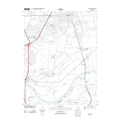 2012 Liberty2012 Print · USGSThe northern reaches of the Kansas City metro area are captured here in the early 2010s as the Missouri River defines the landscape. Researchers can trace numerous local burial sites like Fairview and Davidson Cemetery alongside rail hubs in Birmingham.
 - 2012 Map of North Kansas City, 2012 Print
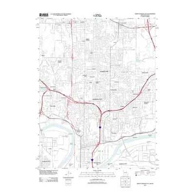 2012 North Kansas City2012 Print · USGSThe northern reaches of the Missouri riverfront are captured here in the early twenty-first century, showing the urban evolution of Kansas City and its neighbors. Researchers can trace the layout of Barry Cemetery, the Kansas City Downtown Airport, and the industrial Fairfax district along the Kaw Bend.
 - 2015 Map of North Kansas City, 2015 Print
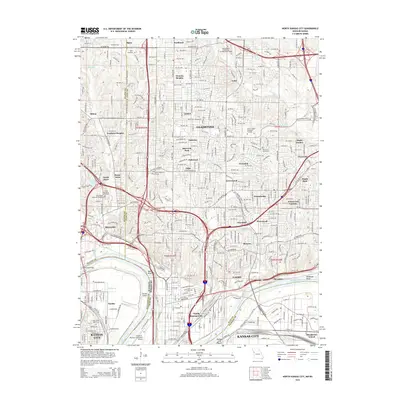 2015 North Kansas City2015 Print · USGSThe northern suburbs and industrial riverfront of the Kansas City metro area are documented here during a period of intense modern development. Researchers can trace family history through numerous local burial grounds like Barry Cemetery or locate landmarks such as Goose Island and the Manchester School.
 - 2015 Map of Liberty, 2015 Print
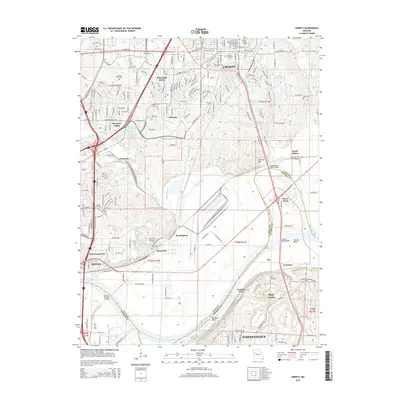 2015 Liberty2015 Print · USGSLiberty and the northern river reaches of Kansas City are shown here in the mid-2010s. Trace local family history and regional growth through landmarks like William Jewell Coll, the Minneville Cemetery, and the river crossing at River Bend.
Showing maps 1-25 of 29
Top cities near Claycomo
- Kansas City historical maps
- Overland Park historical maps
- Kansas City historical maps
- Independence historical maps
- Lee's Summit historical maps
- Blue Springs historical maps
See more
Frequently asked questions
- What are the different types of historical maps available for Claycomo?
- What is the oldest map of Claycomo?
- Where can I purchase historical maps of Claycomo for my home or office?
- Where can I download high-res historical maps of Claycomo?
- Are there historical topographic maps available for Claycomo?
- Is there historical aerial imagery available for Claycomo?
- Where are historical maps of Claycomo sourced from?