Old Maps of Teal, Missouri for Hiking & Exploration
Hike through history with 15 historic maps of Teal. Explore old trails, ghost towns, and forgotten backroads — perfect for outdoor adventurers and local explorers.
- Rediscover forgotten places: Map out old mining camps, roads, and footpaths that no longer exist on modern maps.
- Layer with modern tools: Combine with LiDAR or satellite views to plan hikes through historical terrain.
- Made for exploration: Popular among hikers, overlanders, and local history lovers.
Use these maps to find adventure and explore the hidden past of Teal.
Teal, MO maps
(15)- 1888 Map of Tuscumbia
 1888 Tuscumbia1888 Print · USGSThe Osage River valley comes to life in the 1880s, showcasing the intricate river bends and rugged hills of central Missouri. Genealogists and researchers can trace the original locations of early settlements like Tuscumbia, St. Elizabeth, and Iberia.
 - 1894 Map of Tuscumbia
 1894 Tuscumbia1894 Print · USGSCentral Missouri's river-and-rail landscape is captured here in the 1890s as the Osage River served as the region's main artery. Genealogists and historians can trace the early boundaries of communities like Tuscumbia, St. Elizabeth, and Iberia.3 unique versions available
 - 1947 Map of Jefferson City, 1949 Print
 1947 Jefferson City1949 Print · USGSCentral Missouri and the northern Ozarks come into focus in this late 1940s survey of the river-and-rail landscape. Genealogists and historians can trace the growth of Jefferson City and Sedalia or locate family roots near Bagnell Dam and the Lake of the Ozarks.
 - 1948 Map of Meta, 1963 Print
 1948 Meta1963 Print · USGSThe Osage River valley in the late 1940s shows a landscape of river ferries and emerging rail hubs. Researchers can trace family sites like St Cecilia Cem & Ch, early river infrastructure at the US Lock & Dam, and rural centers such as Koeltztown.
 - 1950 Map of Meta
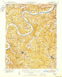 1950 Meta1950 Print · USGSMid-century life in the Missouri river hills centers on the winding Osage River and the small parish towns of the interior. Genealogists can trace family roots through several rural schools and burial grounds, including St Cecelia Cem and the Bodie Ferry (Aban'd).
 - 1954 Map of Jefferson City
 1954 Jefferson City1954 Print · USGSCentral Missouri in the early postwar years showcases a landscape defined by the winding Lake of the Ozarks and the state capital at Jefferson City. Researchers can trace the mid-century rail networks of the Missouri Pacific RR and locate rural communities like Tuscumbia, St Elizabeth, and St Anthony.2 unique versions available
 - 1955 Map of Jefferson City, 1967 Print
 1955 Jefferson City1967 Print · USGSCentral Missouri in the mid-fifties is defined by the winding Missouri River and the expanding reach of Lake of the Ozarks. Researchers can trace the rail corridors of the Missouri Pacific or locate the early footprint of Whiteman AFB and Jefferson City.4 unique versions available
 - 1958 Map of Jefferson City
 1958 Jefferson City1958 Print · USGSCentral Missouri in the late fifties shows a region transforming through the growth of Whiteman Air Force Base and the Lake of the Ozarks. Researchers can trace rail lines like the Missouri Pacific or find family roots at Enloe Cemetery and Mount Pleasant Cem.
 - 1959 Map of Jefferson City
 1959 Jefferson City1959 Print · USGSCentral Missouri is captured during the mid-fifties as the river economy and rail networks like the Missouri Pacific met the rise of the automobile. Local researchers can trace family landmarks and rural infrastructure from the Lake of the Ozarks up to Providence Cemetery and Knob Noster State Park.
 - 1983 Map of Lake Of The Ozarks, 1984 Print
 1983 Lake Of The Ozarks1984 Print · USGSThe Lake of the Ozarks region in the early eighties shows a landscape of deep river bends and growing recreation. Genealogists can trace family names and small settlements from Versailles to Meta and locate old mining sites like Tiff Mine.
 - 1987 Map of Meta, 1988 Print
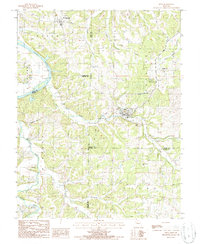 1987 Meta1988 Print · USGSOsage and Cole counties in the mid-1980s reveal a landscape of river-bottom commerce and hilltop communication towers. Researchers can trace the winding Osage River past St Thomas or locate industrial sites like the Kilns and Meta Tower Site.
 - 2011 Map of Meta, 2011 Print
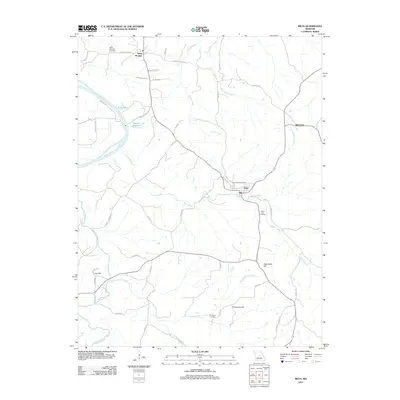 2011 Meta2011 Print · USGSOsage County in the early twenty-first century remains a landscape of high ridges and winding river bottoms. Researchers can trace family sites near Saint Thomas, Babbtown, and Meta, or locate rural burial grounds like Saint Cecilia Cemetery and South Side Cemetery.
 - 2015 Map of Meta, 2015 Print
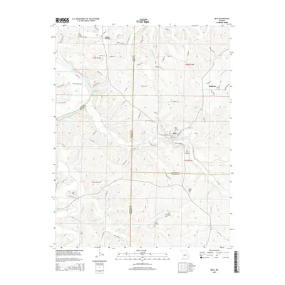 2015 Meta2015 Print · USGSOsage County and its neighboring borders are documented here in the mid-2010s, showing a landscape defined by the Osage River and traditional rural settlements. Researchers can trace family history through Saint Cecilia Cemetery or locate natural landmarks like Arch Cave and Lost Hill.
 - 2017 Map of Meta, 2017 Print
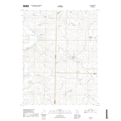 2017 Meta2017 Print · USGSThe northern Ozark foothills at the junction of four counties come into focus in this recent survey. Genealogists and local historians can trace family ties at Saint Thomas Cem or South Side Cem, and locate the sites of St. Thomas and Babbtown.
 - 2021 Map of Meta, 2021 Print
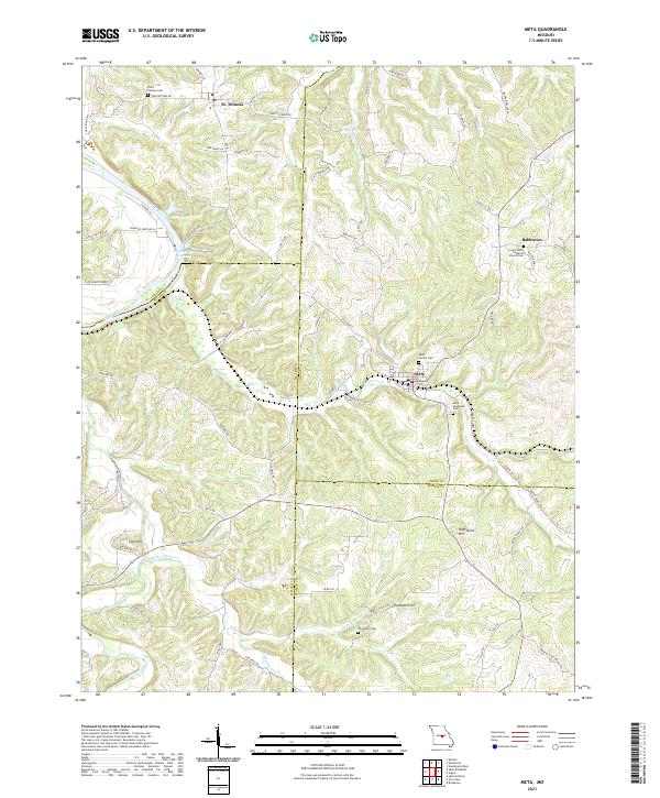 2021 Meta2021 Print · USGSOsage and Miller counties are shown here in the early 2020s, a landscape defined by the winding Osage River and rural ridge settlements. Genealogists can locate family-named sites like Thompson Cem or trace old routes such as Scheuer Ferry Rd and Old St Thomas Rd.
End of results
Showing maps 1-15 of 15
Top cities near Teal
- Jefferson City historical maps
- Wardsville historical maps
- Taos historical maps
- Russellville historical maps
- Saint Elizabeth historical maps
- Meta historical maps
See more
Frequently asked questions
- What are the different types of historical maps available for Teal?
- What is the oldest map of Teal?
- Where can I purchase historical maps of Teal for my home or office?
- Where can I download high-res historical maps of Teal?
- Are there historical topographic maps available for Teal?
- Is there historical aerial imagery available for Teal?
- Where are historical maps of Teal sourced from?