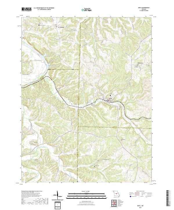
2021 Map of Meta
USGS Topo · Published 2021About this map
Meta and St. Thomas serve as central hubs in this region of central Missouri, situated along a landscape carved by the Osage River and its intricate tributaries. The area is defined by its ridge-and-hollow topography, where family-named roads like Kirkweg Ln and Volmert Ln wind between prominent rises like Lost Hill and High Point Hill. This 2021 survey highlights the enduring presence of local community centers, particularly through its well-documented cemeteries and churches.
Find a feature on this map
79 named features on this map. Tap any name to fly to it.
Don’t see what you’re looking for? This feature index may not catch every label — zoom into the map to look around manually.
Map Details
Editions of this 2021 Meta Map
This is the sole edition of this map. No revisions or reprints were ever made.
Other maps of this area

1888 · Tuscumbia
USGS Topo · 1:125,000

1894 · Tuscumbia
USGS Topo · 1:125,000

1933 · Iberia
USGS Topo · 1:62,500

1937 · Iberia
USGS Topo · 1:62,500

1947 · Jefferson City
USGS Topo · 1:250,000

1948 · Meta
USGS Topo · 1:62,500
1948 · Eugene
USGS Topo · 1:62,500

1948 · Tavern
USGS Topo · 1:62,500
1950 · Meta
USGS Topo · 1:62,500
1950 · Tavern
USGS Topo · 1:62,500