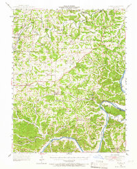
1948 Map of Eugene
USGS Topo · Published 1966About this map
Eugene stands as a central rail point in this mid-century portrait of Central Missouri, where the Chicago Rock Island and Pacific railroad tracks bisect the landscape between the Moreau Creek and the winding Osage River. The map reveals a transition from the rolling drainage basins of the South Fork Moreau River to the river bluffs near St Elizabeth. Rural life is meticulously documented through a high density of neighborhood institutions, including the Marys Home School and the Rush Chapel.
Find a feature on this map
67 named features on this map. Tap any name to fly to it.
Don’t see what you’re looking for? This feature index may not catch every label — zoom into the map to look around manually.
Map Details
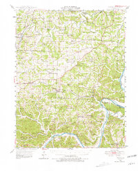
Editions of this 1948 Eugene Map
2 editions found
Other maps of this area

1886 · Jefferson City
USGS Topo · 1:125,000

1888 · Versailles
USGS Topo · 1:125,000

1888 · Tuscumbia
USGS Topo · 1:125,000

1888 · Boonville
USGS Topo · 1:125,000

1893 · Versailles
USGS Topo · 1:125,000

1894 · Tuscumbia
USGS Topo · 1:125,000

1894 · Jefferson City
USGS Topo · 1:125,000

1904 · Eldon
USGS Topo · 1:62,500

1932 · Versailles No 4
USGS Topo · 1:48,000

1933 · Iberia
USGS Topo · 1:62,500