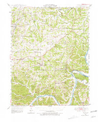
1948 Map of Eugene
USGS Topo · Published 1981About this map
The Osage River and Moreau River systems dominate this mid-century landscape of Central Missouri, where the Chicago and Pacific railroad line stitches together rural settlements like Eugene and Etterville. This 1948 survey captures a transition point in the region's development, documenting a dense network of country schools such as Ambrose Sch, Oak Grove Sch, and Miller Sch that served the farming communities of Cole and Miller counties.
Find a feature on this map
76 named features on this map. Tap any name to fly to it.
Don’t see what you’re looking for? This feature index may not catch every label — zoom into the map to look around manually.
Map Details
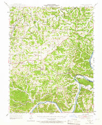
Editions of this 1948 Eugene Map
2 editions found
Other maps of this area

1886 · Jefferson City
USGS Topo · 1:125,000

1888 · Versailles
USGS Topo · 1:125,000

1888 · Tuscumbia
USGS Topo · 1:125,000

1888 · Boonville
USGS Topo · 1:125,000

1893 · Versailles
USGS Topo · 1:125,000

1894 · Tuscumbia
USGS Topo · 1:125,000

1894 · Jefferson City
USGS Topo · 1:125,000

1904 · Eldon
USGS Topo · 1:62,500

1932 · Versailles No 4
USGS Topo · 1:48,000

1933 · Iberia
USGS Topo · 1:62,500