Old Maps of Berger, Missouri for Genealogy
Trace your family roots with 14 historic maps of Berger. These high-res maps reveal old neighborhoods, homesites, landmarks, and streets — helping you uncover where your ancestors lived and how the area evolved over time.
- Explore historic neighborhoods: Identify where your relatives may have lived in the 1800s or 1900s.
- Compare maps over time: Trace the changes in streets, buildings, and landmarks for multi-generational research.
- Perfect for genealogy & ancestry research: Used by family historians and researchers to map out lineage and migration.
These maps are an incredible resource for exploring your personal connection to Berger's past.
Berger, MO maps
(14)- 1890 Map of Hermann
 1890 Hermann1890 Print · USGSMid-Missouri river life and rail commerce define this late-century landscape during a period of steady expansion. Genealogists and historians can trace family roots through old post offices like Hopewell Academy P.O. and Swiss P.O. or the early street grids of Hermann and Warrenton.5 unique versions available
 - 1936 Map of Hermann
 1936 Hermann1936 Print · USGSThe riverfront at Hermann and the surrounding hill country are captured here in the mid-1930s. Genealogists can trace family roots through an extensive network of rural landmarks, from the Swiss Sch and St Josephs Ch to the small settlement of Detmold.
 - 1942 Map of Hermann, 1961 Print
 1942 Hermann1961 Print · USGSMid-Missouri river life and rail commerce are documented here during the early 1940s as the river winds past thriving valley towns. Researchers can trace historic farmsteads, family burial grounds like Meyers Cem, and numerous rural schoolhouses such as Peace Hill Sch and Swiss Sch.2 unique versions available
 - 1945 Map of Hermann
 1945 Hermann1945 Print · USGSThe Missouri River valley near Hermann and Berger is shown here in the mid-1940s, documenting a landscape of river-and-rail transport. Genealogists can trace family names through rural landmarks like St Johns Ch, Roth Cem, and Frene Sch.2 unique versions available
 - 1949 Map of Saint Louis
 1949 Saint Louis1949 Print · USGSGreater St. Louis and its surrounding river valleys are captured here just after the war, showing the metropolitan core and the rural Ozark fringe. Researchers can trace the sprawling rail network of the Wabash RR or locate landmarks like Meramec Caverns Airport and Scott Air Force Base.2 unique versions available
 - 1962 Map of St. Louis
 1962 St. Louis1962 Print · USGSThe mid-century gateway to the west shows the metropolitan expansion of St Louis alongside its critical river confluences. Genealogists and historians can trace the rail corridors of the Missouri Pacific RR and settlements from Fulton to De Soto.
 - 1963 Map of St. Louis, 1970 Print
 1963 St. Louis1970 Print · USGSSt. Louis and its surrounding river valleys are captured here during the peak of mid-century suburban expansion and industrial activity. Trace the historic rail routes of the Norfolk and Western Ry or locate the St Louis Ordnance Plant and early stretches of US Highway 66.4 unique versions available
 - 1966 Map of St. Louis
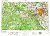 1966 St. Louis1966 Print · USGSThe St. Louis metropolitan area and its surrounding river valleys are captured here during the mid-sixties era of suburban growth and industrial strength. Genealogists and historians can trace the foundations of local communities through sites like Old Pioneer Cem, Parks College, and the Jefferson Barracks Military Reservation.
 - 1974 Map of Berger, 1975 Print
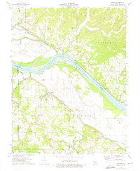 1974 Berger1975 Print · USGSFranklin and Gasconade counties are captured here in the mid-seventies, showing a landscape defined by the river and the rail. Genealogists and local historians can trace old family burial grounds like St Pauls Cem and Haid Cem, or locate rail stops in Berger and Etlah.
 - 1985 Map of Fulton
 1985 Fulton1985 Print · USGSMid-Missouri was a hub of river commerce and rail travel in the mid-1980s, where towns like Fulton and Hermann anchored the river valley. Researchers can trace historic river islands like Rush Island or follow the path of the Missouri - Kansas - Texas Railroad.2 unique versions available
 - 2012 Map of Berger, 2012 Print
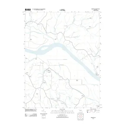 2012 Berger2012 Print · USGSThe Missouri River bottoms and Ozark foothills near the town of Berger come into focus during this early 21st-century survey. Genealogists can trace decades of local family history through numerous sites like Saint Johns Cemetery, Drewel Cemetery, and the settlement at Etlah.
 - 2015 Map of Berger, 2015 Print
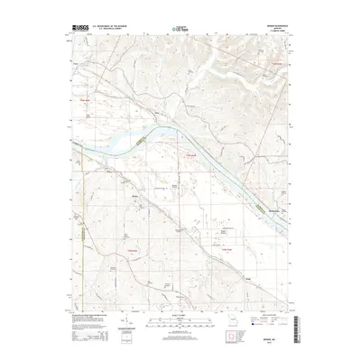 2015 Berger2015 Print · USGSNear the Missouri River in the mid-2010s, this area reflects a deeply rooted rural landscape across several county lines. Genealogists can locate many family burial sites such as Roark Cemetery, Bade Cemetery, and Saint Pauls Cemetery.
 - 2017 Map of Berger, 2017 Print
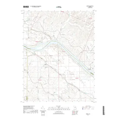 2017 Berger2017 Print · USGSThe Missouri River valley near Berger and Etlah is captured here in the late twenty-teens, showing the enduring rural layout of Franklin County. Genealogists can locate numerous family burial sites like Saint Pauls Cem, Haid Cem, and Betts Cem across the river bluffs.
 - 2021 Map of Berger, 2021 Print
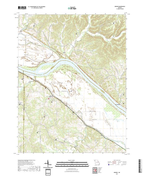 2021 Berger2021 Print · USGSThe river bluffs of Franklin County come into sharp focus in this recent survey of Berger and the winding Missouri River valley. Genealogists and local historians can trace family land and burial sites at Saint Pauls Cem, Finks Cem, and Etlah.
End of results
Showing maps 1-14 of 14
Top cities near Berger
- Warrenton historical maps
- Hermann historical maps
- New Haven historical maps
- New Florence historical maps
- Jonesburg historical maps
- Truesdale historical maps
See more
Frequently asked questions
- What are the different types of historical maps available for Berger?
- What is the oldest map of Berger?
- Where can I purchase historical maps of Berger for my home or office?
- Where can I download high-res historical maps of Berger?
- Are there historical topographic maps available for Berger?
- Is there historical aerial imagery available for Berger?
- Where are historical maps of Berger sourced from?