2000s (21st Century) Maps of Howard Township, Missouri
Explore 16 historic maps of Howard Township from the 2000s (21st Century). These maps offer a rare glimpse into what life looked like during the 2000s — showing old roads, neighborhoods, homes, and landmarks that have changed or disappeared over time.
Whether you're researching your family's past, planning a metal detecting trip, or studying how Howard Township's landscape evolved across the 2000s, these high-resolution maps are a powerful tool for exploring the history of this region.
- Focus on a specific era: All maps on this page are from the 2000s, giving you a focused view of this time period.
- See what’s changed: Compare century-old streets, trails, and buildings to today's modern landscape using overlays and satellite layers.
- Research with precision: Use these maps for genealogy, historical research, land use analysis, or educational projects.
- View, download, or print: Maps are fully viewable online in high resolution, and can be downloaded or printed for your own records.
Start exploring Howard Township's history through authentic maps from the 2000s. This is your window into the past.
Howard Township, MO maps
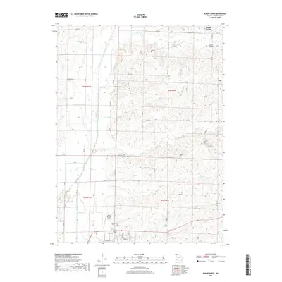
(16)- 2011 Map of Allendale, 2011 Print
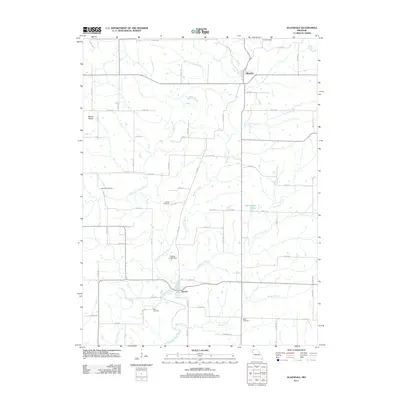 2011 Allendale2011 Print · USGSCovers Howard Township, including Allendale, Denver, and other nearby areas
 - 2011 Map of New Hampton, 2011 Print
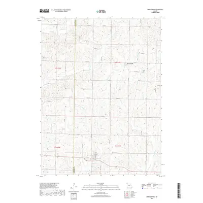
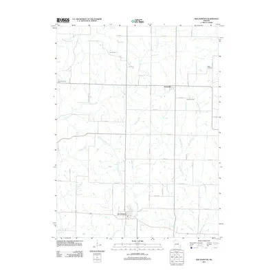 2011 New Hampton2011 Print · USGSCovers Howard Township, including New Hampton, Athens Township, and other nearby areas
 - 2011 Map of Washington Center, 2011 Print
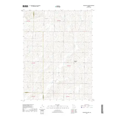
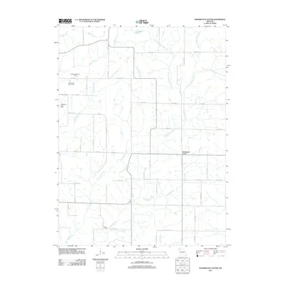 2011 Washington Center2011 Print · USGSCovers Howard Township, including Washington Center, Harrison County, and other nearby areas
 - 2011 Map of Albany North, 2011 Print
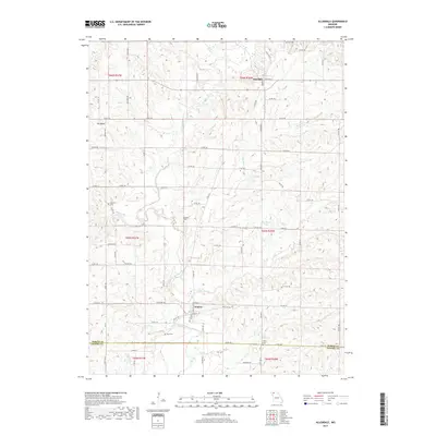
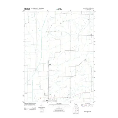 2011 Albany North2011 Print · USGSCovers Howard Township, including Albany, Ellenorah, and other nearby areas
 - 2014 Map of New Hampton, 2014 Print
 2014 New Hampton2014 Print · USGSCovers Howard Township, including New Hampton, Athens Township, and other nearby areas
 - 2014 Map of Allendale, 2014 Print
 2014 Allendale2014 Print · USGSCovers Howard Township, including Allendale, Denver, and other nearby areas
 - 2014 Map of Albany North, 2014 Print
 2014 Albany North2014 Print · USGSCovers Howard Township, including Albany, Ellenorah, and other nearby areas
 - 2014 Map of Washington Center, 2014 Print
 2014 Washington Center2014 Print · USGSCovers Howard Township, including Washington Center, Harrison County, and other nearby areas
 - 2017 Map of Albany North, 2017 Print
 2017 Albany North2017 Print · USGSCovers Howard Township, including Albany, Ellenorah, and other nearby areas
 - 2017 Map of Washington Center, 2017 Print
 2017 Washington Center2017 Print · USGSCovers Howard Township, including Washington Center, Harrison County, and other nearby areas
 - 2017 Map of New Hampton, 2017 Print
 2017 New Hampton2017 Print · USGSCovers Howard Township, including New Hampton, Athens Township, and other nearby areas
 - 2017 Map of Allendale, 2017 Print
 2017 Allendale2017 Print · USGSCovers Howard Township, including Allendale, Denver, and other nearby areas
 - 2021 Map of New Hampton, 2021 Print
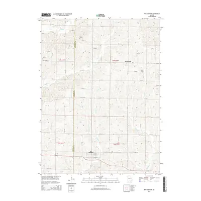
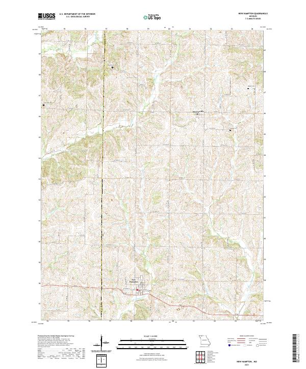 2021 New Hampton2021 Print · USGSThe border of Gentry and Harrison counties is shown here in the 2020s, centered on the rural communities of New Hampton and Martinsville. Genealogists and historians can trace family locations through burial grounds like Grace Cem, Lone Star Cem, and Magee Cem.
 - 2021 Map of Albany North, 2021 Print
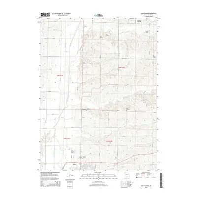
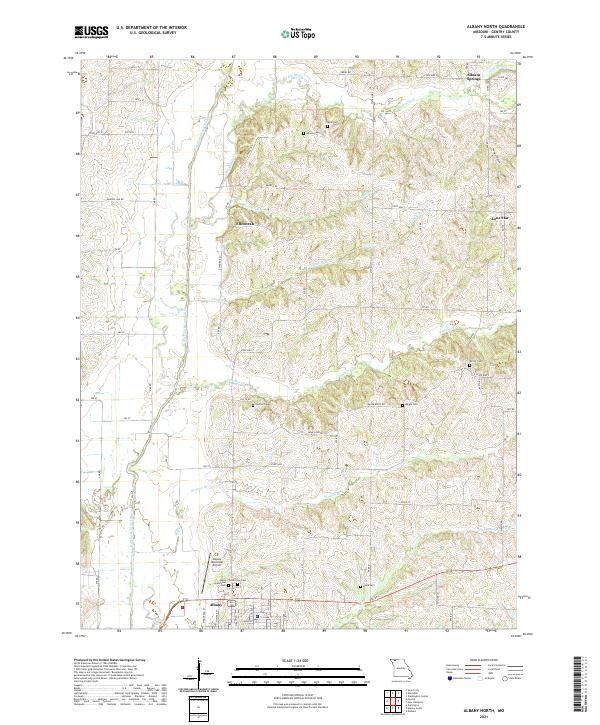 2021 Albany North2021 Print · USGSGentry County's northern hills and river bottoms are shown here in modern detail, centered on the Albany area. Genealogists and historians can trace numerous family burial sites like West Grandview Cem and Henton Cem alongside the winding East Fork Grand River.
 - 2021 Map of Allendale, 2021 Print
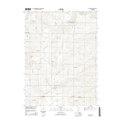
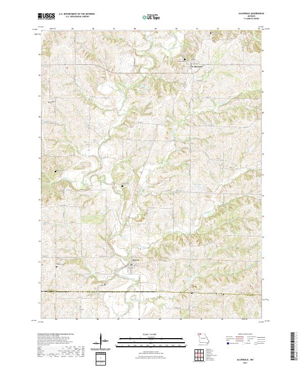 2021 Allendale2021 Print · USGSNorthern Missouri farmland along the East Fork Grand River is captured here in the early twenty-first century. Researchers can locate numerous local burial sites like Hoblett Cemetery and Kent Cemetery or trace the early paths of Allendale and Denver.
 - 2021 Map of Washington Center, 2021 Print
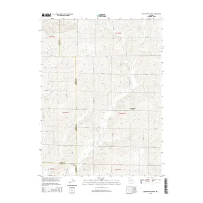
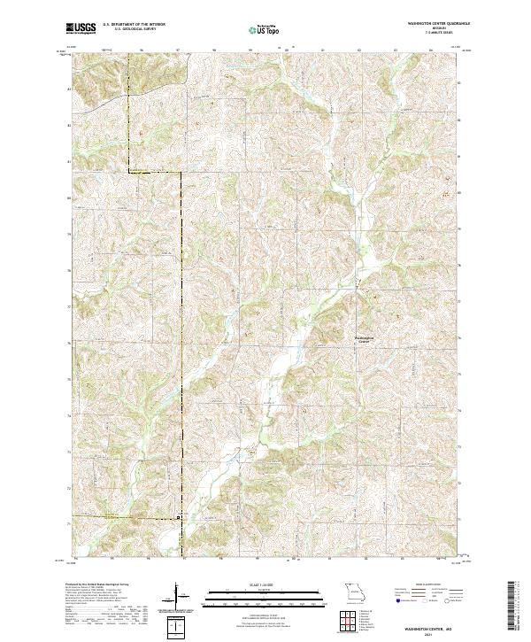 2021 Washington Center2021 Print · USGSIn the rural borderlands of Harrison, Worth, and Gentry counties, this recent survey shows a landscape of family farms and creek valleys. Researchers can locate the Koger Cem and trace the many branches of Big Muddy Cr and Long Br.
End of results
Showing maps 1-16 of 16
Top cities near Howard Township
- Albany historical maps
- Grant City historical maps
- New Hampton historical maps
- Darlington historical maps
- Gentry historical maps
- Worth historical maps
See more
Top neighborhoods of Howard Township
- Pinhook historical maps
- Siloam Springs historical maps
- Ellenorah historical maps
- Lone Star historical maps
Frequently asked questions
- What are the different types of historical maps available for Howard Township?
- What is the oldest map of Howard Township?
- Where can I purchase historical maps of Howard Township for my home or office?
- Where can I download high-res historical maps of Howard Township?
- Are there historical topographic maps available for Howard Township?
- Is there historical aerial imagery available for Howard Township?
- Where are historical maps of Howard Township sourced from?