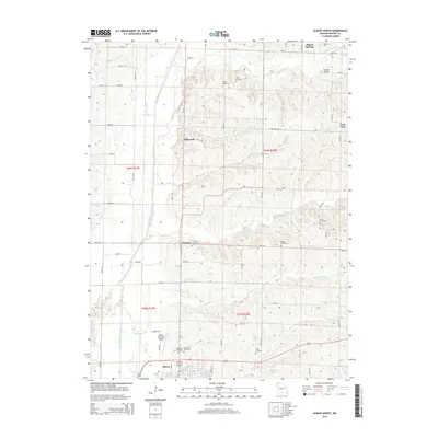
2014 Map of Albany North
USGS Topo · Published 2014About this map
The town of Albany serves as the focal point of this rural Gentry County landscape, situated where the East Fork Grand River meets a network of small creeks and runs. The terrain is defined by the winding paths of Big Muddy Cr and Little Muddy Cr, which flow through a region characterized by small unincorporated settlements and family-named landmarks. The map illustrates a dense distribution of local burial grounds, including Grandview Cemetery, Highland Cemetery, and Mise Cemetery, offering significant value for genealogical research.
Find a feature on this map
46 named features on this map. Tap any name to fly to it.
Don’t see what you’re looking for? This feature index may not catch every label — zoom into the map to look around manually.
Map Details
Editions of this 2014 Albany North Map
This is the sole edition of this map. No revisions or reprints were ever made.
Other maps of this area

1925 · Pattonsburg
USGS Topo · 1:62,500

1925 · Darlington
USGS Topo · 1:62,500

1942 · Grant City
USGS Topo · 1:62,500

1943 · Grant City
USGS Topo · 1:62,500

1944 · Pattonsburg
USGS Topo · 1:62,500

1946 · Pattonsburg
USGS Topo · 1:48,000

1948 · Bethany
USGS Topo · 1:62,500

1948 · Pattonsburg
USGS Topo · 1:62,500

1950 · Darlington
USGS Topo · 1:62,500

1955 · Nebraska City
USGS Topo · 1:250,000