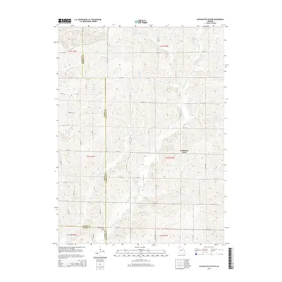
2014 Map of Washington Center
USGS Topo · Published 2014About this map
Washington Center serves as the focal point of this Harrison County landscape, situated at the convergence of local routes near the headwaters of the regional drainage system. The terrain is defined by an intricate network of waterways, most notably the forks of the Big Muddy Cr, including the W Fork Big Muddy Cr and E Fork Big Muddy Cr. These streams, along with Little Muddy Cr and Long Br, carve a rolling topography that has historically dictated the placement of roads and farmsteads. Near the southern boundary with Gentry County, the Koger Cemetery stands as a significant site for genealogical research. To the north, Baugher Lake and Big Rock Cr further illustrate the area's hydrology. The map captures a rural Missouri section lines and county boundaries including the junction where Worth, Harrison, and Gentry counties meet.
Find a feature on this map
57 named features on this map. Tap any name to fly to it.
Don’t see what you’re looking for? This feature index may not catch every label — zoom into the map to look around manually.
Map Details
Editions of this 2014 Washington Center Map
This is the sole edition of this map. No revisions or reprints were ever made.
Other maps of this area

1940 · Blockton
USGS Topo · 1:62,500

1942 · Grant City
USGS Topo · 1:62,500

1943 · Grant City
USGS Topo · 1:62,500

1943 · Blockton
USGS Topo · 1:62,500

1945 · Mount Ayr
USGS Topo · 1:62,500

1947 · Mount Ayr
USGS Topo · 1:62,500

1948 · Bethany
USGS Topo · 1:62,500

1955 · Nebraska City
USGS Topo · 1:250,000

1957 · Nebraska City
USGS Topo · 1:250,000

1958 · Nebraska City
USGS Topo · 1:250,000