2000s (21st Century) Maps of Parkwood, Springfield
Explore 16 historic maps of Parkwood from the 2000s (21st Century). These maps offer a rare glimpse into what life looked like during the 2000s — showing old roads, neighborhoods, homes, and landmarks that have changed or disappeared over time.
Whether you're researching your family's past, planning a metal detecting trip, or studying how Parkwood's landscape evolved across the 2000s, these high-resolution maps are a powerful tool for exploring the history of this region.
- Focus on a specific era: All maps on this page are from the 2000s, giving you a focused view of this time period.
- See what’s changed: Compare century-old streets, trails, and buildings to today's modern landscape using overlays and satellite layers.
- Research with precision: Use these maps for genealogy, historical research, land use analysis, or educational projects.
- View, download, or print: Maps are fully viewable online in high resolution, and can be downloaded or printed for your own records.
Start exploring Parkwood's history through authentic maps from the 2000s. This is your window into the past.
Parkwood, Springfield maps
(16)- 2011 Map of Ebenezer, 2011 Print
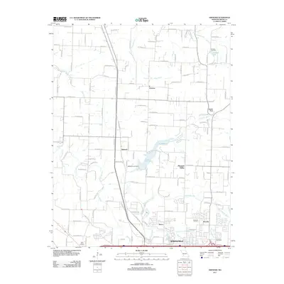 2011 Ebenezer2011 Print · USGSSpringfield and its northern Greene County environs are captured here in the early twenty-first century as suburban growth meets rural crossroads. Genealogists and local historians can trace family sites near Ebenezer, Brick Church Cemetery, and the Little Sac River.
 - 2011 Map of Bassville, 2011 Print
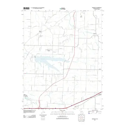 2011 Bassville2011 Print · USGSGreene County is shown here during a period of sustained growth north of Springfield, where new infrastructure meets long-standing rural communities. Researchers can trace the layout of early settlements like Bassville and Hickory Barren alongside Fellows Lake and the Dishman Cemetery.
 - 2011 Map of Springfield, 2011 Print
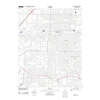 2011 Springfield2011 Print · USGSSpringfield at the start of the 2010s shows a thriving regional hub centered on its historic downtown and university campus. Researchers can trace local heritage through numerous sites like Payne Cemetery, the Downtown Airport, and Chadwick Junction.
 - 2011 Map of Galloway, 2011 Print
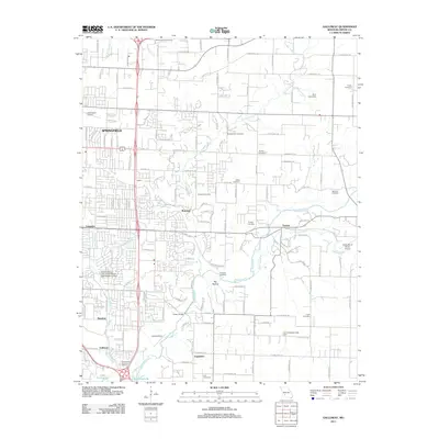 2011 Galloway2011 Print · USGSSpringfield and its eastern suburbs are captured here during a period of modern growth in Greene County. Genealogists and local historians can locate numerous burial sites like Webb Cemetery and McCraw Cemetery along the James River corridor.
 - 2015 Map of Bassville, 2015 Print
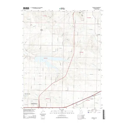 2015 Bassville2015 Print · USGSGreene County at the mid-2010s shows the suburban expansion of the Springfield fringe into established rural townships. Researchers can trace family roots at Salem Cemetery or locate old community hubs like Fair Grove and the namesake Bassville.
 - 2015 Map of Ebenezer, 2015 Print
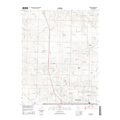 2015 Ebenezer2015 Print · USGSSpringfield’s northern hinterlands and the Sac River watershed are captured here as the city meets the rural farm country of Greene County. Researchers can locate local landmarks like Brick Church Cemetery, the Central Bible Coll campus, and the Lost Hill Natural Arch.
 - 2015 Map of Springfield, 2015 Print
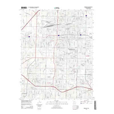 2015 Springfield2015 Print · USGSSpringfield and the community of Battlefield are shown in the mid-2010s during a period of sustained urban development. Researchers can trace historic burial sites like Hazelwood Cemetery and the grounds of Missouri State Univ or the Frisco Highline Trl.
 - 2015 Map of Galloway, 2015 Print
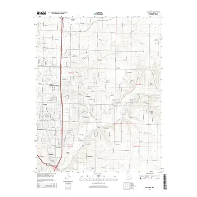 2015 Galloway2015 Print · USGSSpringfield and the James River valley are shown in the mid-2010s as the city expands eastward into the Missouri countryside. Genealogists and local historians can trace a dozen family burial grounds including Webb Cemetery and Logan Cemetery, alongside early airfield sites like Childress Airstrip.
 - 2017 Map of Springfield, 2017 Print
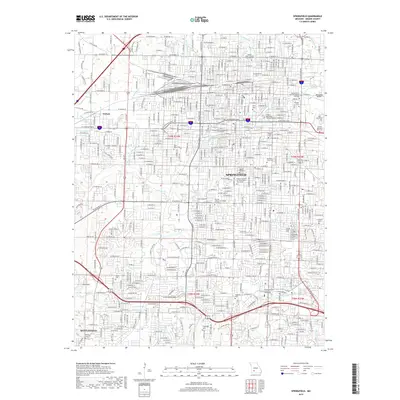 2017 Springfield2017 Print · USGSSpringfield and its surrounding suburbs like Nichols and Battlefield are captured here during a period of significant urban density. Genealogists can locate family sites across numerous grounds including Hazelwood Cem, Maple Park Cem, and Yarbrough Cem.
 - 2017 Map of Ebenezer, 2017 Print
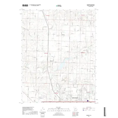 2017 Ebenezer2017 Print · USGSNorthern Greene County is shown here in the 2010s as urban growth from Springfield meets the rural valleys of the Little Sac River. Researchers can trace local landmarks like Brick Church Cem and geological curiosities like the Lost Hill Natural Arch.
 - 2017 Map of Bassville, 2017 Print
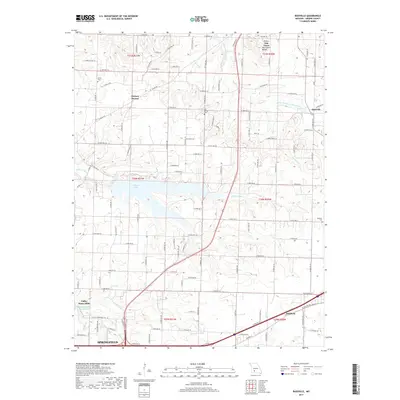 2017 Bassville2017 Print · USGSGreene County is shown in detail during the late twenty-teens as the rural areas north of Springfield continue to evolve. Genealogists and local historians can locate specific burial grounds like Salem Cem, the geographic Fair Grove Mound, and the waters of Fellows Lake.
 - 2017 Map of Galloway, 2017 Print
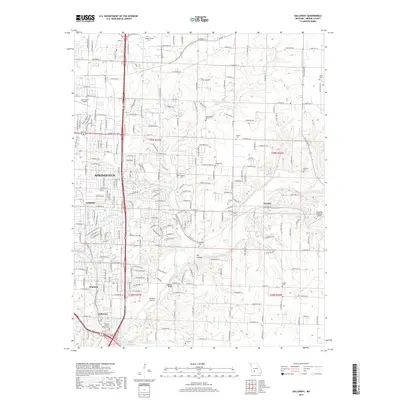 2017 Galloway2017 Print · USGSSpringfield and its eastern suburbs are shown in detail during a period of modern expansion in the Ozarks. Genealogists and local historians can trace family locations near numerous burial sites like Parsley Cem and Webb Cem, or follow the course of the BNSF Railway through Turners.
 - 2021 Map of Galloway, 2021 Print
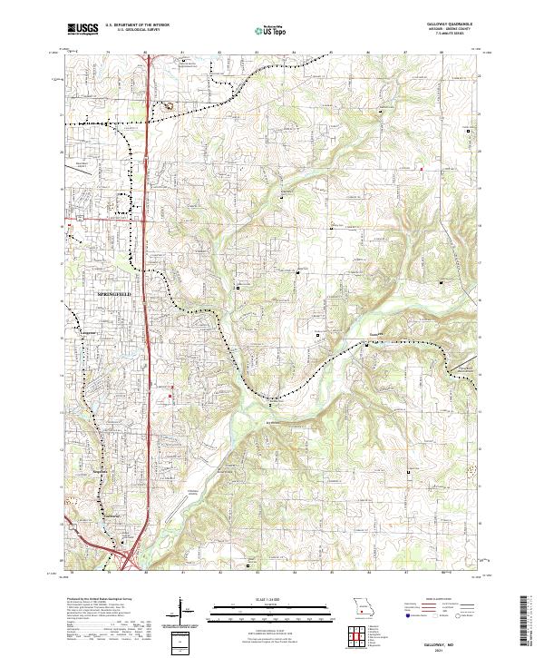 2021 Galloway2021 Print · USGSEastern Greene County at the start of the 2020s shows the continued integration of historic rural settlements into the expanding Springfield metro area. Researchers can locate numerous family burial sites like Danforth Cemetery and landmarks such as Kinser Bridge along the James River.
 - 2021 Map of Springfield, 2021 Print
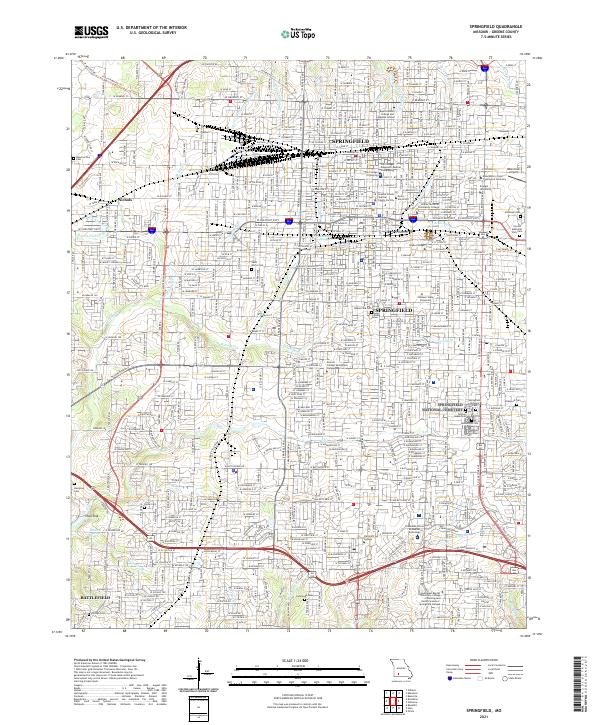 2021 Springfield2021 Print · USGSSpringfield and its southwestern suburbs are shown in 2021 as a major hub of industry, education, and historical preservation. Researchers can locate family sites and landmarks like Springfield National Cemetery, Nichols, and Payne Cemetery.
 - 2021 Map of Bassville, 2021 Print
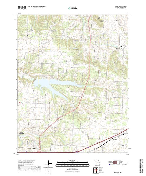 2021 Bassville2021 Print · USGSGreene County north of Springfield shows a mix of suburban growth and traditional rural crossroads in the early 2020s. Researchers can trace historical footprints at Old Salem Cem, Hickory Barren, and the waters of Fellows Lake.
 - 2021 Map of Ebenezer, 2021 Print
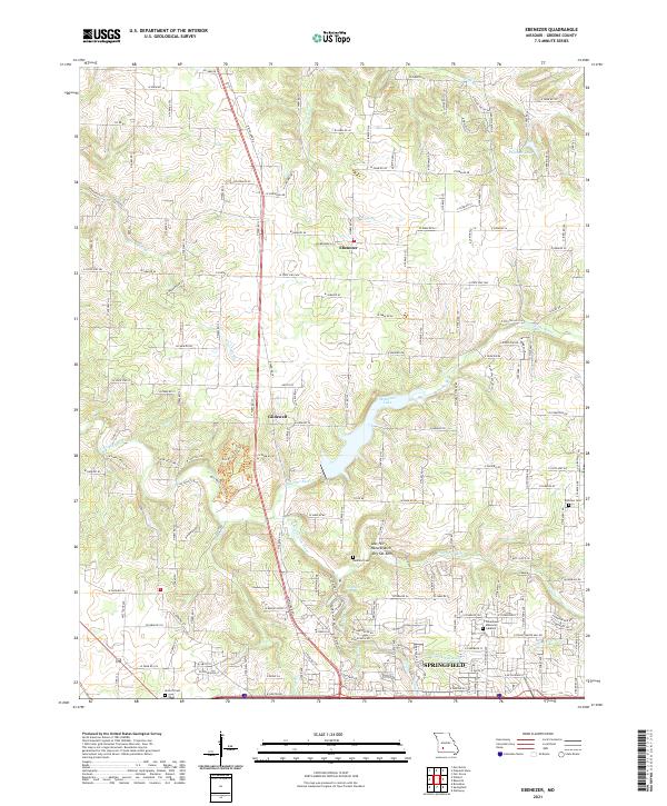 2021 Ebenezer2021 Print · USGSNorthern Greene County in the 2020s shows the suburban expansion of Springfield toward historic Ebenezer. Researchers can trace rural cemeteries like Antioch Cem and geologic landmarks like Natural Arch and Dry Sac Arch.
End of results
Showing maps 1-16 of 16
Frequently asked questions
- What are the different types of historical maps available for Parkwood?
- What is the oldest map of Parkwood?
- Where can I purchase historical maps of Parkwood for my home or office?
- Where can I download high-res historical maps of Parkwood?
- Are there historical topographic maps available for Parkwood?
- Is there historical aerial imagery available for Parkwood?
- Where are historical maps of Parkwood sourced from?