Old Maps of Parkwood, Springfield for Genealogy
Trace your family roots with 39 historic maps of Parkwood. These high-res maps reveal old neighborhoods, homesites, landmarks, and streets — helping you uncover where your ancestors lived and how the area evolved over time.
- Explore historic neighborhoods: Identify where your relatives may have lived in the 1800s or 1900s.
- Compare maps over time: Trace the changes in streets, buildings, and landmarks for multi-generational research.
- Perfect for genealogy & ancestry research: Used by family historians and researchers to map out lineage and migration.
These maps are an incredible resource for exploring your personal connection to Parkwood's past.
Parkwood, Springfield maps
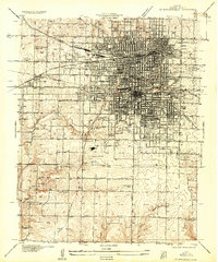
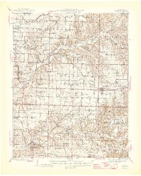
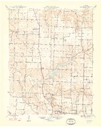
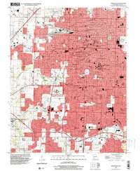
(39)- 1884 Map of Springfield
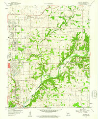
 1884 Springfield1884 Print · USGSSpringfield emerged as a critical railroad junction in Southwest Missouri during the 1880s. Local researchers can trace the early layouts of Springfield, Willard, and Republic as they developed along the St. Louis and San Francisco Railroad.
 - 1886 Map of Springfield, 1896 Print
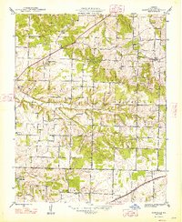
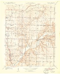
 1886 Springfield1896 Print · USGSSouthwest Missouri thrived as a regional rail hub in the 1880s, centering on the growth of Greene and Christian counties. Researchers can trace early rural settlements and rail stops like Springfield, Fair Grove, and Republic before the turn of the century.5 unique versions available
 - 1935 Map of Springfield
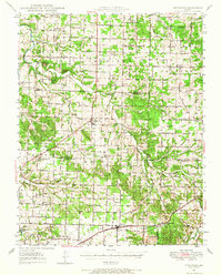
 1935 Springfield1935 Print · USGSSpringfield was a bustling rail and institutional center in the mid-1930s. Researchers can trace the massive St L-S F RR Shops, the State Teachers College, and numerous rural schoolhouses like Kickapoo Sch.2 unique versions available
 - 1937 Map of Galloway
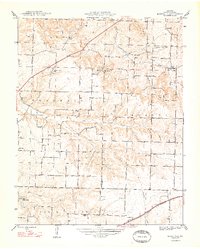
 1937 Galloway1937 Print · USGSGreene County townships during the late 1930s show a landscape of small schools and rural rail stops. Researchers can trace family sites like Mc Graw Cem, visit Sequiota State Park, or locate the original Springfield Municipal Park and Airport.2 unique versions available
 - 1937 Map of Ozark
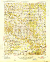
 1937 Ozark1937 Print · USGSChristian and Greene Counties are captured here in the mid-1930s, showing a landscape of river-valley farms and small railroad towns. Genealogists can trace family names through dozens of rural landmarks like Roller Cemetery, Riverside Inn, and the Whiteoak Church.
 - 1943 Map of Ozark, 1968 Print
 1943 Ozark1968 Print · USGSThe James River valley south of Springfield comes alive in the 1940s, showing a landscape defined by small settlements and the St Louis - San Francisco line. Genealogists can trace family roots at Holland Cem or locate old school sites like Blue Star Sch and Plummer Sch.
 - 1945 Map of Ozark
 1945 Ozark1945 Print · USGSSouth of Springfield in the mid-1940s, this area shows a landscape transitioning from rural farmsteads to modern aviation hubs. Genealogists can trace family names at Holland Cem, Riverside Inn, and numerous school sites like Pedelo Sch.2 unique versions available
 - 1946 Map of Bassville, 1948 Print
 1946 Bassville1948 Print · USGSGreene County is shown here in the mid-1940s, a landscape of family farms and rural school districts before postwar expansion. Genealogists and local historians can locate several namesake institutions like Whitlock Sch, Elm Spring Cem, and the village of Bassville.
 - 1947 Map of Strafford, 1967 Print
 1947 Strafford1967 Print · USGSMissouri's Ozark plateau comes alive in the mid-forties, showing the rural school districts and crossroads towns of Greene and Dallas counties. Trace family roots at Mission Chapel, find the old roadbed of U. S. 66, or locate Tin Town.
 - 1948 Map of Bassville
 1948 Bassville1948 Print · USGSGreene County just after the war was a landscape of small farming districts and rural schools. Genealogists can trace family roots through landmarks like Hickory Barren Sch, Elm Spring Ch, and the crossroads at Bassville.
 - 1948 Map of Ebenezer
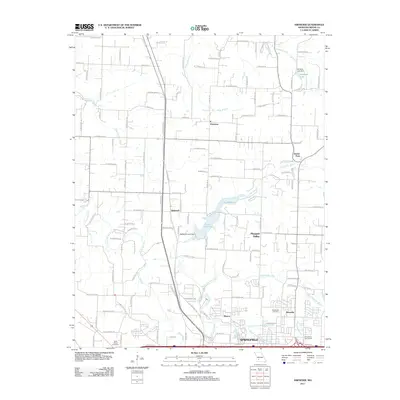
 1948 Ebenezer1948 Print · USGSGreene County is shown just after the war as the rural landscape north of Springfield was defined by its creeks and local schoolhouses. Genealogists can locate family landmarks like Brick Church Cem, Crystal Cave, and the Ritter Sch near Ebenezer.2 unique versions available
 - 1948 Map of Strafford
 1948 Strafford1948 Print · USGSMid-century Greene and Webster Counties center on the rail-aligned town of Strafford and the rural crossroads of Fair Grove. Genealogists can locate family landmarks including Mullinx Cem, Hickory Barren Sch, and the old Whitlock Ch.2 unique versions available
 - 1948 Map of Galloway
 1948 Galloway1948 Print · USGSGreene County is shown here in the late 1940s as a landscape of rural schoolhouses and river crossings. Genealogists can trace family landmarks like Parsley Cem, Danforth Ch, and the historic railroad community of Galloway near Sequiota State Park.2 unique versions available
 - 1954 Map of Springfield
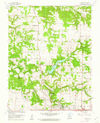
 1954 Springfield1954 Print · USGSThe Missouri Ozarks are captured here during the post-war era, showing the expansion of Springfield and the surrounding river valleys. Genealogists and historians can trace local landmarks like Mount Comfort Cemetery and the Fort Leonard Wood military grounds.6 unique versions available
 - 1958 Map of Springfield
 1958 Springfield1958 Print · USGSThe Missouri Ozarks are captured during the mid-century era of growth, centered on the bustling hub of Springfield. Genealogists and historians can trace family roots through numerous landmarks like Ebenezer Church, Stockton Cem, and the various county courthouses.
 - 1959 Map of Springfield
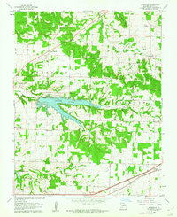
 1959 Springfield1959 Print · USGSThe Missouri Ozarks are captured here during a decade of postwar growth and increasing highway connectivity. Researchers can trace the legacy of the St Louis-San Francisco RR and locate early sites in Springfield, Lebanon, and Mountain Grove.
 - 1960 Map of Springfield, 1961 Print
 1960 Springfield1961 Print · USGSSpringfield and its surrounding Greene County townships appear in the early sixties during a season of post-war growth. Researchers can trace institutional roots at Southwest Missouri State College, explore the FEDERAL MEDICAL CENTER, or locate family sites near Hazelwood Cemetery and Bethany Ch.4 unique versions available
 - 1960 Map of Galloway, 1961 Print
 1960 Galloway1961 Print · USGSEastern Greene County at the dawn of the 1960s shows a mix of rural heritage and emerging city growth. Researchers can trace family roots through numerous landmarks like Kinser Chapel, the St Louis San Francisco railroad, and Bodenhamer Cem.4 unique versions available
 - 1961 Map of Ebenezer, 1962 Print
 1961 Ebenezer1962 Print · USGSNorth of Springfield in the early sixties, the landscape transitions from growing suburbs to established prairie farms and river valleys. Researchers can trace family roots at Greenlawn Cemetery or locate landmarks like Fantastic Caverns and McDaniel Lake.3 unique versions available
 - 1961 Map of Bassville, 1962 Print
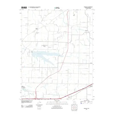
 1961 Bassville1962 Print · USGSNortheast of Springfield in the early sixties, this area shows the recently established Fellows Lake and the rural crossroads of the day. Researchers can locate family landmarks like Salem Cem, Hickory Barren, and the old Pleasant View Sch.3 unique versions available
 - 1982 Map of Springfield, 1983 Print
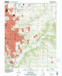
 1982 Springfield1983 Print · USGSSpringfield and the surrounding Ozark plateau are captured in the early eighties as the region balanced urban growth with its agricultural roots. Genealogists and researchers can trace the locations of White Chapel, the State Sanatorium, and older rail stops like Brookline.
 - 1996 Map of Galloway, 2000 Print
 1996 Galloway2000 Print · USGSGreene County experiences significant suburban growth in the late nineties as development extends east from the city. Genealogists and historians can trace family-named sites like Kinser Chapel, locate the Flying Bar H Landing Strip, and follow the Burlington Northern railroad through Galloway.
 - 1996 Map of Springfield, 2000 Print
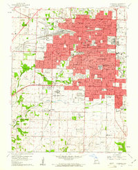
 1996 Springfield2000 Print · USGSSpringfield and Greene County at the turn of the millennium show a city shaped by major institutions and growing suburbs. Researchers can trace the grounds of Southwest Missouri State University, Springfield National Cem, and the historic community of Nichols.
 - 2011 Map of Ebenezer, 2011 Print
 2011 Ebenezer2011 Print · USGSCovers Parkwood, including Springfield, Pleasant Valley, and other nearby areas
 - 2011 Map of Bassville, 2011 Print
 2011 Bassville2011 Print · USGSCovers Parkwood, including Springfield, Strafford, and other nearby areas
Showing maps 1-25 of 39
Frequently asked questions
- What are the different types of historical maps available for Parkwood?
- What is the oldest map of Parkwood?
- Where can I purchase historical maps of Parkwood for my home or office?
- Where can I download high-res historical maps of Parkwood?
- Are there historical topographic maps available for Parkwood?
- Is there historical aerial imagery available for Parkwood?
- Where are historical maps of Parkwood sourced from?