2000s (21st Century) Maps of Galt, Missouri
Explore 8 historic maps of Galt from the 2000s (21st Century). These maps offer a rare glimpse into what life looked like during the 2000s — showing old roads, neighborhoods, homes, and landmarks that have changed or disappeared over time.
Whether you're researching your family's past, planning a metal detecting trip, or studying how Galt's landscape evolved across the 2000s, these high-resolution maps are a powerful tool for exploring the history of this region.
- Focus on a specific era: All maps on this page are from the 2000s, giving you a focused view of this time period.
- See what’s changed: Compare century-old streets, trails, and buildings to today's modern landscape using overlays and satellite layers.
- Research with precision: Use these maps for genealogy, historical research, land use analysis, or educational projects.
- View, download, or print: Maps are fully viewable online in high resolution, and can be downloaded or printed for your own records.
Start exploring Galt's history through authentic maps from the 2000s. This is your window into the past.
Galt, MO maps
(8)- 2012 Map of Laredo, 2012 Print
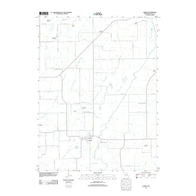 2012 Laredo2012 Print · USGSCovers Galt, including Laredo, Dunlap, and other nearby areas
 - 2012 Map of Galt, 2012 Print
 2012 Galt2012 Print · USGSCovers Galt, including Grundy County, United States, and other nearby areas
 - 2014 Map of Galt, 2014 Print
 2014 Galt2014 Print · USGSCovers Galt, including Grundy County, United States, and other nearby areas
 - 2014 Map of Laredo, 2014 Print
 2014 Laredo2014 Print · USGSCovers Galt, including Laredo, Dunlap, and other nearby areas
 - 2017 Map of Galt, 2017 Print
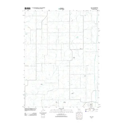
 2017 Galt2017 Print · USGSCovers Galt, including Grundy County, United States, and other nearby areas
 - 2017 Map of Laredo, 2017 Print
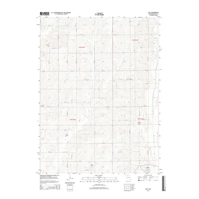
 2017 Laredo2017 Print · USGSCovers Galt, including Laredo, Dunlap, and other nearby areas
 - 2021 Map of Laredo, 2021 Print
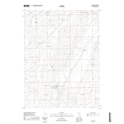
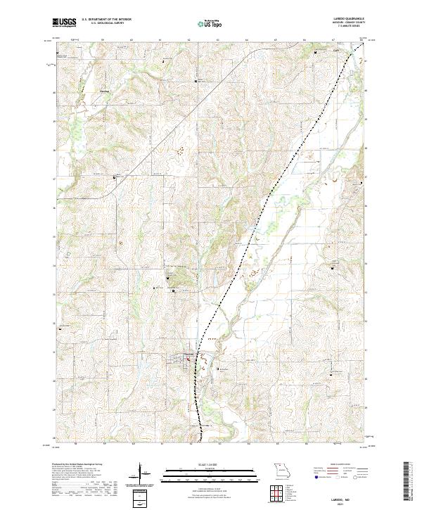 2021 Laredo2021 Print · USGSGrundy County farmland and quiet crossroads are captured in the early 2020s, showing a landscape defined by the waters of Medicine Creek. Genealogists can trace deep local roots through numerous burial sites like Joseph Wright Cem, Richardson Cem, and Newlan Cem.
 - 2021 Map of Galt, 2021 Print
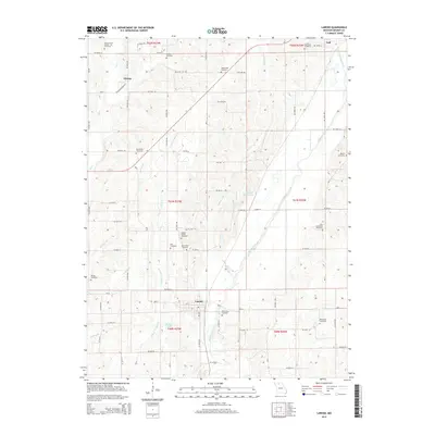
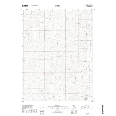
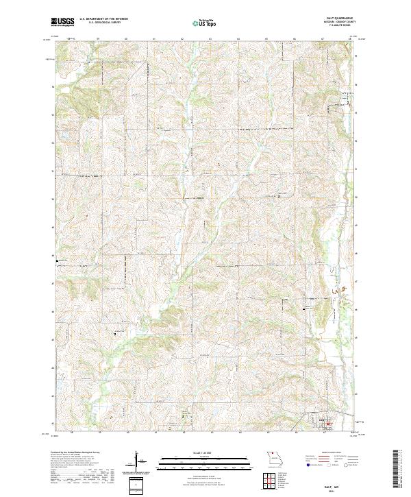 2021 Galt2021 Print · USGSGrundy County settlement patterns are preserved here in the early twenty-first century, centered on the community of Galt. Researchers can trace local lineage through several rural burial sites, including McAfee Cem, Mount Zion Cem, and Berry Cem.
End of results
Showing maps 1-8 of 8
Top cities near Galt
- Trenton historical maps
- Spickard historical maps
- Browning historical maps
- Laredo historical maps
- Purdin historical maps
- Chula historical maps
See more
Frequently asked questions
- What are the different types of historical maps available for Galt?
- What is the oldest map of Galt?
- Where can I purchase historical maps of Galt for my home or office?
- Where can I download high-res historical maps of Galt?
- Are there historical topographic maps available for Galt?
- Is there historical aerial imagery available for Galt?
- Where are historical maps of Galt sourced from?