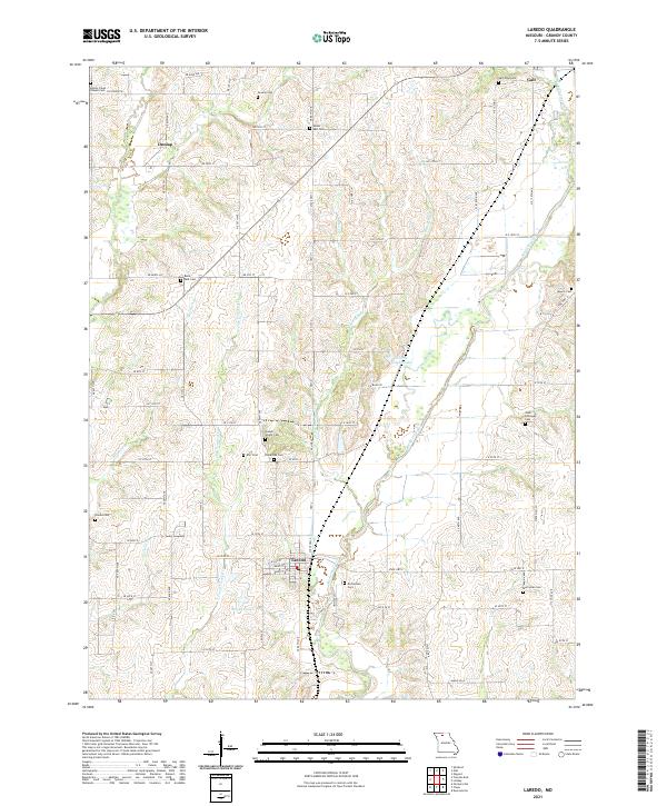
2021 Map of Laredo
USGS Topo · Published 2021About this map
The agrarian landscape of Grundy County unfolds across this 2021 survey, centered on the small rural settlements of Laredo and Dunlap. The geography is defined by the winding course of Medicine Creek and its many tributaries, including Honey Creek and N Fork Crooked Cr, which have shaped the local topography into a series of drainages and low ridges. This map is particularly valuable for genealogical research, as it documents numerous family and community burial grounds that dot the countryside, such as the Joseph Wright Cem and Joab Holloway Cem. The network of section roads like NE 80th Ave and SE 50th St maintains the grid established by early land surveys, connecting isolated homesteads and local landmarks like Broyles Lake and Curtis Upper Lake.
Find a feature on this map
78 named features on this map. Tap any name to fly to it.
Don’t see what you’re looking for? This feature index may not catch every label — zoom into the map to look around manually.
Map Details
Editions of this 2021 Laredo Map
This is the sole edition of this map. No revisions or reprints were ever made.
Other maps of this area

1921 · Chillicothe
USGS Topo · 1:62,500

1923 · Chillicothe
USGS Topo · 1:62,500

1924 · Chula
USGS Topo · 1:62,500

1946 · Galt
USGS Topo · 1:62,500

1947 · Chula
USGS Topo · 1:62,500

1948 · Trenton
USGS Topo · 1:62,500

1949 · Galt
USGS Topo · 1:62,500

1953 · Moberly
USGS Topo · 1:250,000

1954 · Centerville
USGS Topo · 1:250,000

1954 · Moberly
USGS Topo · 1:250,000