2020s Maps of Harrison County, Missouri
Explore 16 historic maps of Harrison County from the 2020s. These maps offer a rare glimpse into what life looked like during the 2020s — showing old roads, neighborhoods, homes, and landmarks that have changed or disappeared over time.
Whether you're researching your family's past, planning a metal detecting trip, or studying how Harrison County's landscape evolved across the 2020s, these high-resolution maps are a powerful tool for exploring the history of this region.
- Focus on a specific era: All maps on this page are from the 2020s, giving you a focused view of this time period.
- See what’s changed: Compare century-old streets, trails, and buildings to today's modern landscape using overlays and satellite layers.
- Research with precision: Use these maps for genealogy, historical research, land use analysis, or educational projects.
- View, download, or print: Maps are fully viewable online in high resolution, and can be downloaded or printed for your own records.
Start exploring Harrison County's history through authentic maps from the 2020s. This is your window into the past.
Harrison County, MO maps
(16)- 2021 Map of Gilman City West, 2021 Print
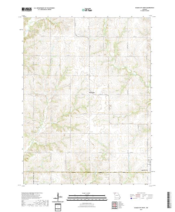 2021 Gilman City West2021 Print · USGSNorthwest Missouri farmland on the Harrison and Daviess County line remains defined by its namesake creeks and rural crossroads. Genealogists and local researchers can trace the landscape around Gilman City and Blue Ridge or follow the paths of Cypress Cr and Sugar Cr.
 - 2021 Map of New Hampton, 2021 Print
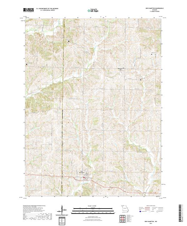 2021 New Hampton2021 Print · USGSThe border of Gentry and Harrison counties is shown here in the 2020s, centered on the rural communities of New Hampton and Martinsville. Genealogists and historians can trace family locations through burial grounds like Grace Cem, Lone Star Cem, and Magee Cem.
 - 2021 Map of Eagleville, 2021 Print
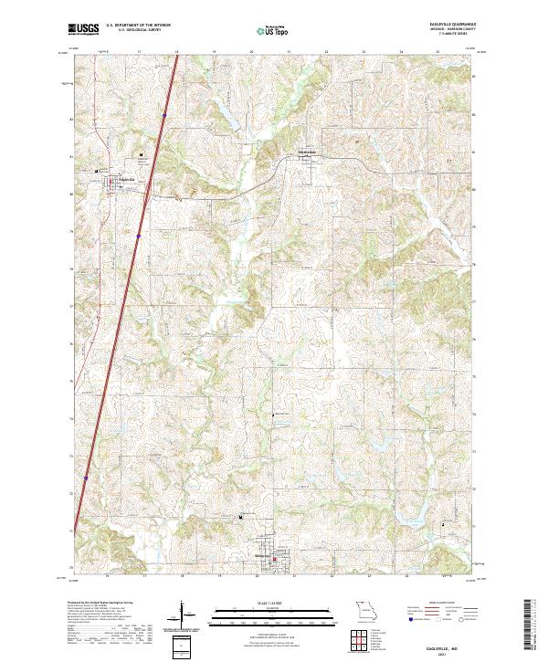 2021 Eagleville2021 Print · USGSHarrison County farm country is documented here during the early twenty-first century, showing the rural communities of Eagleville and Ridgeway. Family historians can locate specific burial grounds like Ridgeway Cem and Lilly Cem among the local hills.
 - 2021 Map of Pawnee, 2021 Print
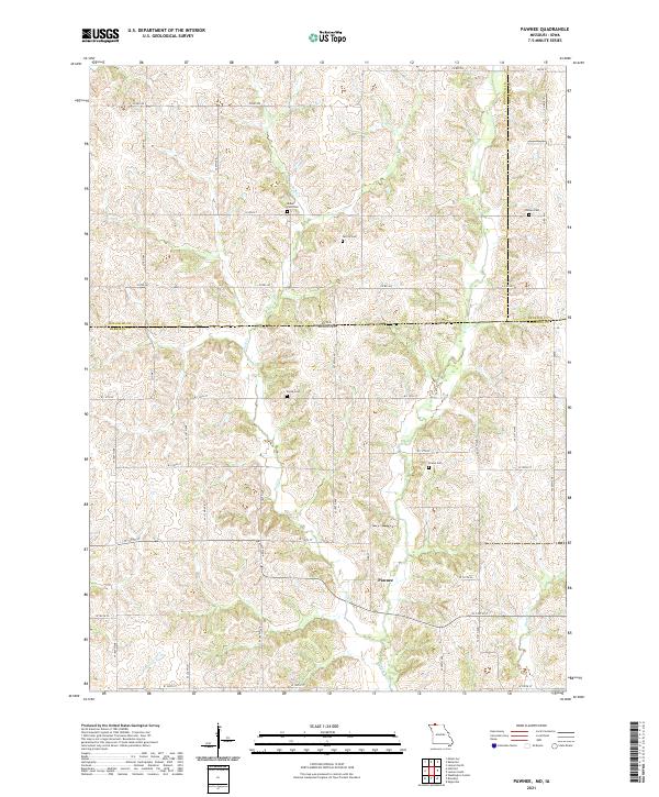 2021 Pawnee2021 Print · USGSThe Missouri-Iowa border comes into focus in this recent survey of the rural landscape between Harrison and Ringgold counties. Genealogists can trace family heritage through numerous burial sites including Mount Zion Cem, Payne Cem, and Brown Cem.
 - 2021 Map of Matkins, 2021 Print
 2021 Matkins2021 Print · USGSHarrison and Gentry Counties at the start of the 2020s remain a landscape of quiet prairie streams and historic family burial sites. Genealogists and local historians can trace the drainages of Sampson Cr and White Oak Cr alongside local landmarks like White Oak Cem and Lovers Ln.
 - 2021 Map of Bethany, 2021 Print
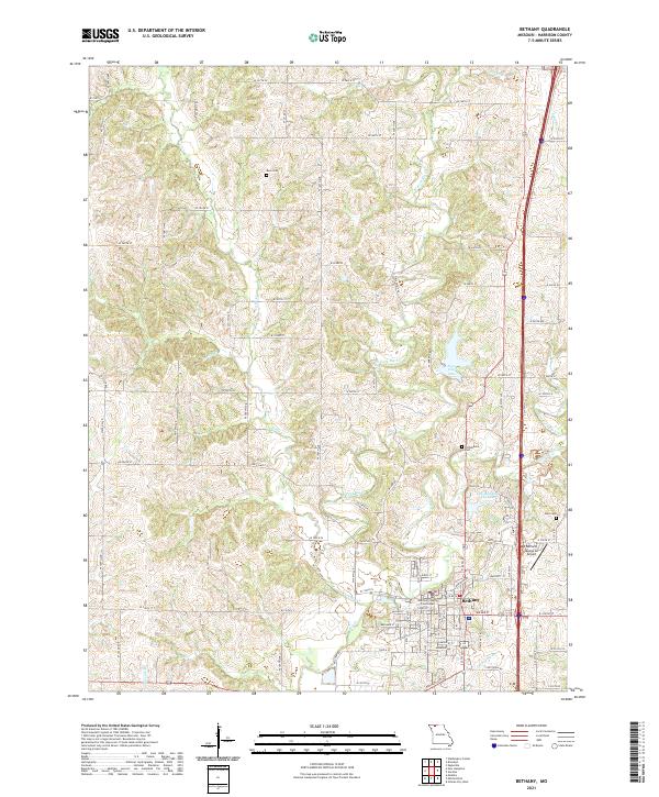 2021 Bethany2021 Print · USGSNorthwest Missouri's county seat of Bethany comes into focus in this recent survey of its river forks and rural corridors. Researchers can locate the Harrison County Courthouse and trace genealogies at Russ Cem or Phillebaum Cem.
 - 2021 Map of Akron, 2021 Print
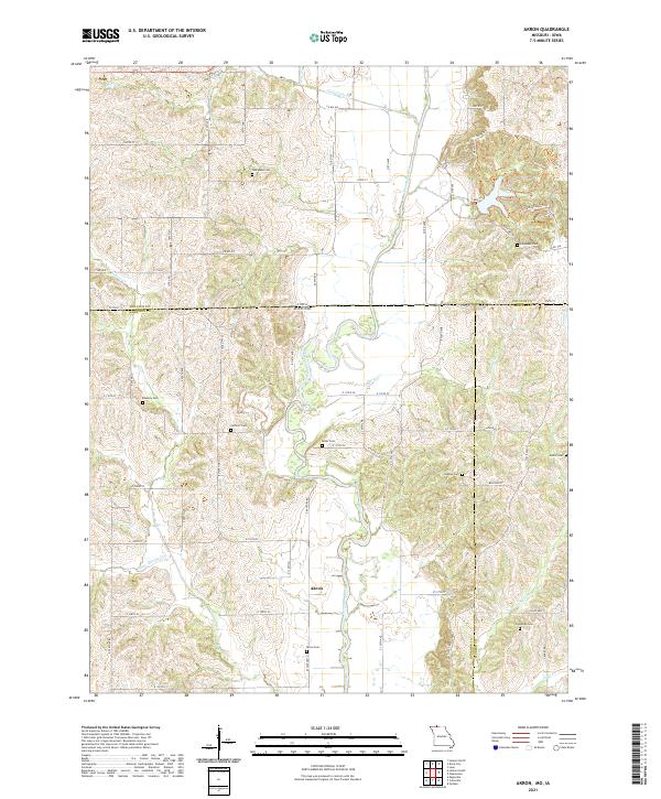 2021 Akron2021 Print · USGSThe Missouri-Iowa borderlands come to life in this survey of the northern reaches of the state. Genealogists and local historians can trace family roots through a dense network of burial sites, including New Buda Cem, Akron Cem, and Catholic Cem.
 - 2021 Map of Mitchellville, 2021 Print
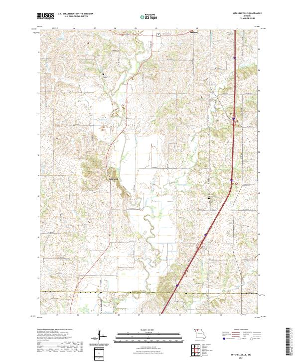 2021 Mitchellville2021 Print · USGSHarrison County farmland in the early 2020s shows a landscape still defined by its many winding creeks and rural road networks. Genealogists and local historians can trace family locations near Mount Olivet Cem, Wildwood, and the banks of Polecat Cr.
 - 2021 Map of Gilman City East, 2021 Print
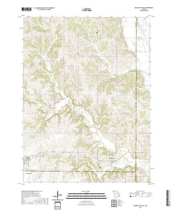 2021 Gilman City East2021 Print · USGSNorthward from the Daviess County line in the 2020s, this area maintains its traditional rural character shaped by the Thompson River. Researchers can locate several burial sites like Springer Chapel Cem and Mitchell Cem or trace the early settlement at Melbourne.
 - 2021 Map of Hatfield, 2021 Print
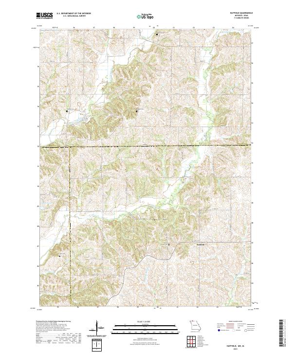 2021 Hatfield2021 Print · USGSThe Missouri-Iowa borderlands near Hatfield are mapped here in fine detail during the early twenty-first century. Researchers can trace rural lineages through local landmarks like Lincoln Center Cem, Oakdale Cem, and the winding Lotts Cr.
 - 2021 Map of Mount Moriah, 2021 Print
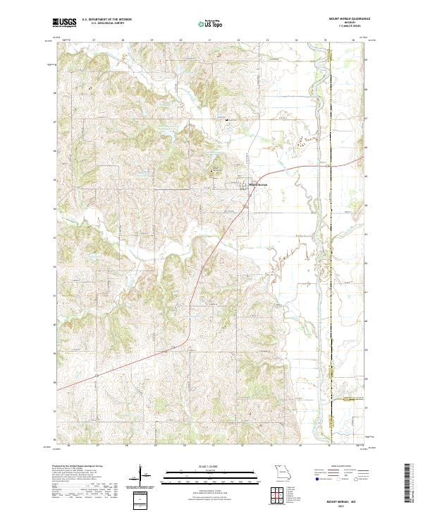 2021 Mount Moriah2021 Print · USGSHarrison County farmland and the Thompson River valley are captured in this recent survey of northern Missouri. Trace local family history at Mount Moriah Cem and Lloyd Cem, or explore the many small waters like Hamilton Lake and G Pitts Lake.
 - 2021 Map of Cainsville, 2021 Print
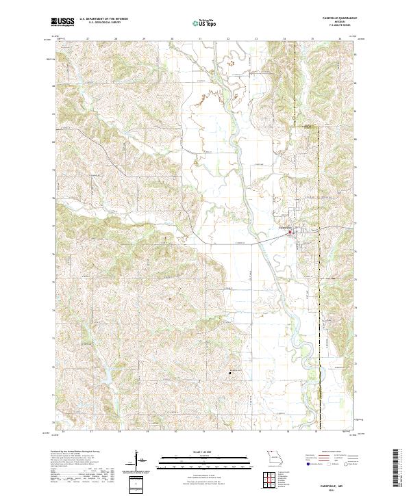 2021 Cainsville2021 Print · USGSCainsville and the surrounding farm country on the Harrison-Mercer county line are documented here in the early 2020s. Researchers can trace family ties and rural land use along the Thompson River valley, identifying landmarks like the Bohemian Cem and Grants Lake.
 - 2021 Map of Washington Center, 2021 Print
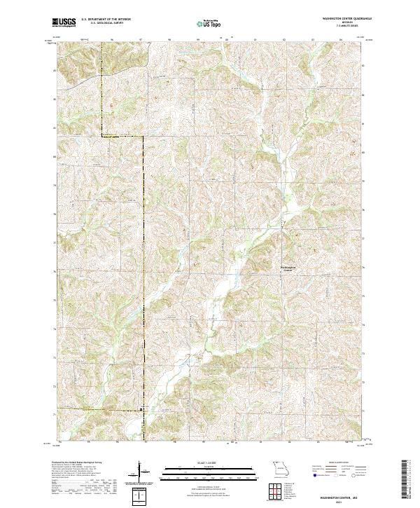 2021 Washington Center2021 Print · USGSIn the rural borderlands of Harrison, Worth, and Gentry counties, this recent survey shows a landscape of family farms and creek valleys. Researchers can locate the Koger Cem and trace the many branches of Big Muddy Cr and Long Br.
 - 2021 Map of Brooklyn, 2021 Print
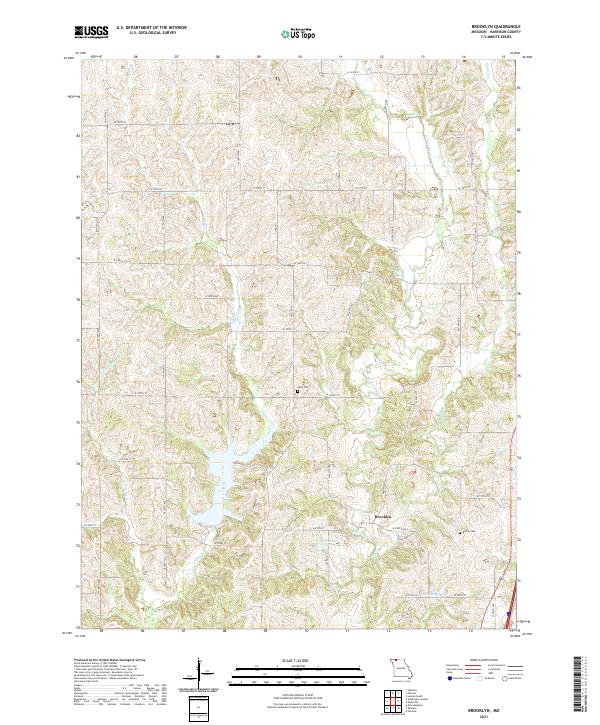 2021 Brooklyn2021 Print · USGSNorthwestern Missouri's rural landscape is preserved here as it appeared in the early twenty-first century, centered on the village of Brooklyn. Researchers can trace family history through the locations of the Allen Cem and Buntin Cem or follow the paths of Little Cr and Shain Cr.
 - 2021 Map of Gardner, 2021 Print
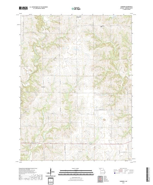 2021 Gardner2021 Print · USGSHarrison County at the start of the 2020s shows a landscape of small agricultural settlements and sprawling creek networks. Genealogists and local historians can locate Yankee Ridge Cem and trace the paths of East Fork Big Creek or Polecat Cr.
 - 2022 Map of Lamoni South, 2022 Print
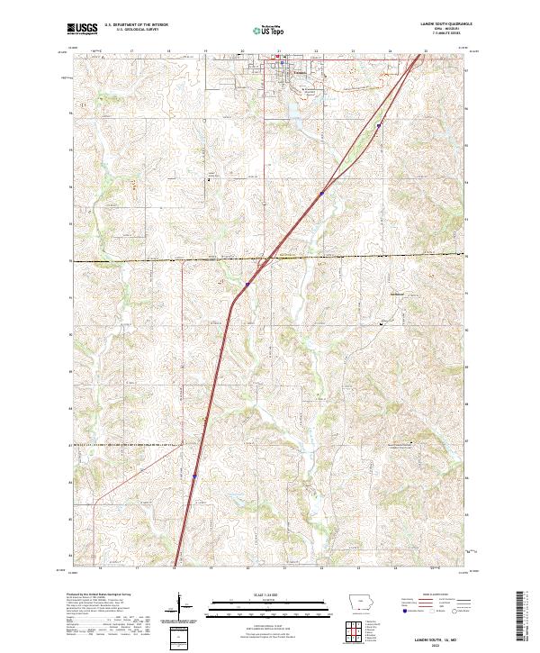 2022 Lamoni South2022 Print · USGSThe Iowa-Missouri borderlands come into focus here during the early twenty-first century, centered on the university town of Lamoni. Researchers can trace old family burial sites at Sweet Home Cem or locate the rural settlement of Andover near the state line.
End of results
Showing maps 1-16 of 16
Top cities of Harrison County
- Bethany historical maps
- Ridgeway historical maps
- Cainsville historical maps
- New Hampton historical maps
- Eagleville historical maps
- Blythedale historical maps
See more
Frequently asked questions
- What are the different types of historical maps available for Harrison County?
- What is the oldest map of Harrison County?
- Where can I purchase historical maps of Harrison County for my home or office?
- Where can I download high-res historical maps of Harrison County?
- Are there historical topographic maps available for Harrison County?
- Is there historical aerial imagery available for Harrison County?
- Where are historical maps of Harrison County sourced from?