2010s Maps of Harrison County, Missouri
Explore 52 historic maps of Harrison County from the 2010s. These maps offer a rare glimpse into what life looked like during the 2010s — showing old roads, neighborhoods, homes, and landmarks that have changed or disappeared over time.
Whether you're researching your family's past, planning a metal detecting trip, or studying how Harrison County's landscape evolved across the 2010s, these high-resolution maps are a powerful tool for exploring the history of this region.
- Focus on a specific era: All maps on this page are from the 2010s, giving you a focused view of this time period.
- See what’s changed: Compare century-old streets, trails, and buildings to today's modern landscape using overlays and satellite layers.
- Research with precision: Use these maps for genealogy, historical research, land use analysis, or educational projects.
- View, download, or print: Maps are fully viewable online in high resolution, and can be downloaded or printed for your own records.
Start exploring Harrison County's history through authentic maps from the 2010s. This is your window into the past.
Harrison County, MO maps
(52)- 2010 Map of Hatfield, 2010 Print
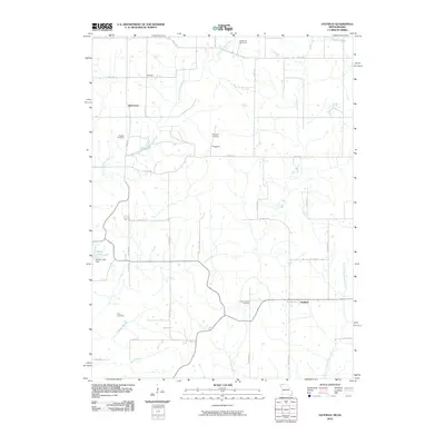 2010 Hatfield2010 Print · USGSCrossing the Missouri and Iowa state line, this 2010 survey shows a quiet agricultural region defined by its creek valleys and rural crossroads. Genealogists can locate family landmarks like Lincoln Center Cemetery or the small settlements of Hatfield and Ringgold.
 - 2010 Map of Pawnee, 2010 Print
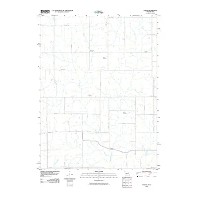 2010 Pawnee2010 Print · USGSHarrison County at the start of the decade reveals a landscape shaped by rural industry and tradition. Researchers can pinpoint several burial sites including Mount Zion Cemetery and Payne Cemetery along the banks of Wolf Creek.
 - 2010 Map of Lamoni South, 2010 Print
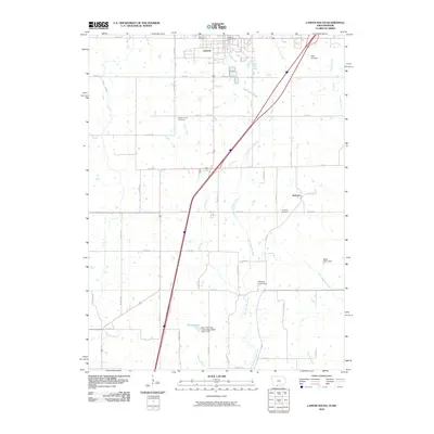 2010 Lamoni South2010 Print · USGSCrossing the Iowa-Missouri state line in the early twenty-first century, this area features the southern expansion of Lamoni and the small crossroads of Andover. Genealogists can trace family locations through well-placed landmarks like Rose Hill Cemetery, Sweet Home Cemetery, and Giles Junction.
 - 2010 Map of Akron, 2010 Print
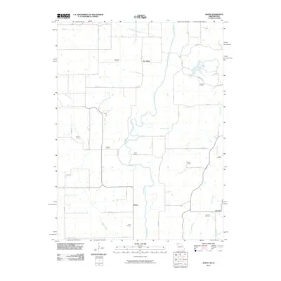 2010 Akron2010 Print · USGSDecatur County and the Missouri borderlands are shown here in the early twenty-first century as a landscape of rural townships and family histories. Genealogists can trace specific burial sites from New Buda Cemetery to Fogleman Cemetery, or locate old settlements like Akron and Burrows.
 - 2011 Map of Bethany, 2011 Print
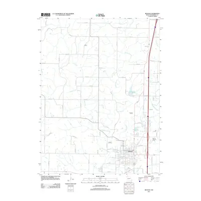 2011 Bethany2011 Print · USGSHarrison County settlement and water infrastructure come into focus in this modern era survey of the Bethany area. Researchers can trace local heritage through the Russ Cemetery, Phillebaum Cemetery, and landmarks like the Harrison County Farm.
 - 2011 Map of New Hampton, 2011 Print
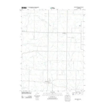 2011 New Hampton2011 Print · USGSNorthwestern Missouri’s rural character is on full display here as the landscape transitions into the new millennium. Researchers can trace family history through several local landmarks including Lone Star Cemetery, Kidwell Cemetery, and the settlement at Martinsville.
 - 2011 Map of Washington Center, 2011 Print
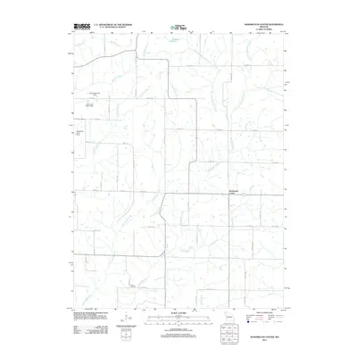 2011 Washington Center2011 Print · USGSThe rural landscape of Harrison County is captured in this early 21st-century survey of Washington Center. Genealogists and local historians can locate Koger Cemetery and trace the many branches of Big Muddy Creek and Little Muddy Creek that shape these fields.
 - 2011 Map of Pawnee, 2011 Print
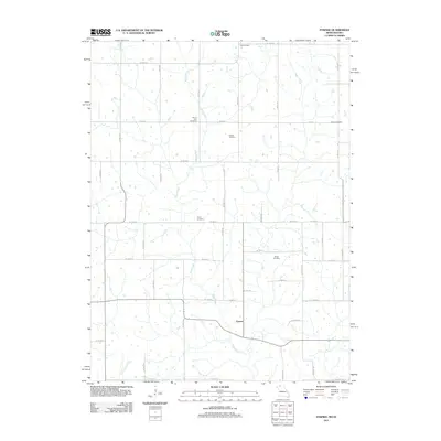 2011 Pawnee2011 Print · USGSThe Missouri-Iowa borderlands are captured here in the early twenty-first century, showing a rural landscape organized around the waters of Wolf Creek. Researchers can trace old family ties through several named burial sites like Payne Cemetery and Brown Cemetery near the settlement of Pawnee.
 - 2011 Map of Hatfield, 2011 Print
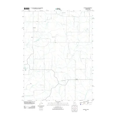 2011 Hatfield2011 Print · USGSHatfield and the Harrison County borderlands are seen here in the early 21st century, showcasing a landscape of isolated farmsteads and rural townships. Genealogists can locate several historic burial grounds, including Caledonia Cemetery, Petry Cemetery, and Ringgold Cemetery.
 - 2011 Map of Mitchellville, 2011 Print
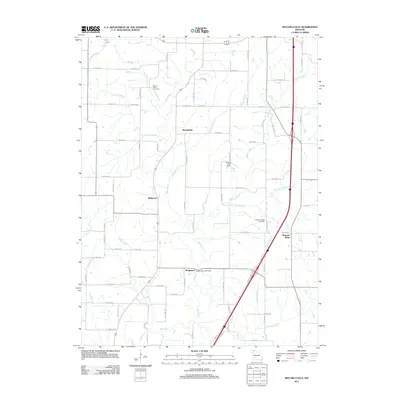 2011 Mitchellville2011 Print · USGSHarrison County's rolling farmland and creek valleys are documented here at the start of the 2010s. Researchers can trace the legacy of small rural hubs like Bridgeport and find family heritage sites such as Mount Olive Cemetery and the Happy Valley Post Office.
 - 2011 Map of Matkins, 2011 Print
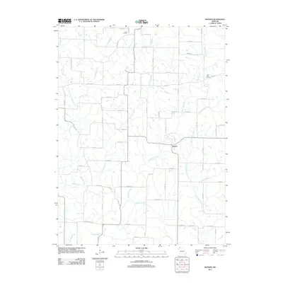 2011 Matkins2011 Print · USGSHarrison County at the start of the 2010s remains a landscape of deep-rooted rural agriculture and quiet creek valleys. Genealogists can locate family burial grounds at Foster Cemetery and White Oak Cemetery or trace the winding waters of Sampson Creek and Wolf Den Branch.
 - 2012 Map of Brooklyn, 2012 Print
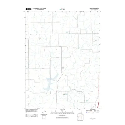 2012 Brooklyn2012 Print · USGSNorthwest Missouri at the turn of the millennium remains a landscape of quiet creek valleys and section roads. Genealogists and local historians can map family ties through Allen Cemetery, the settlement of Brooklyn, and the waters of West Fork Big Creek.
 - 2012 Map of Gilman City West, 2012 Print
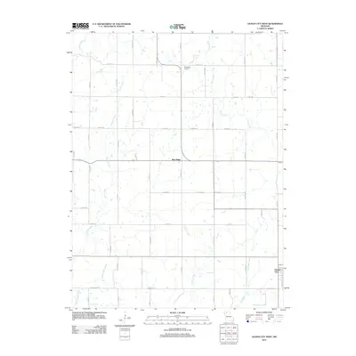 2012 Gilman City West2012 Print · USGSThe rural landscape west of Gilman City is revealed in this early twenty-first-century survey of North Missouri’s farm country. Researchers can trace the drainage of Big Muddy Creek and Hickory Creek near local settlements like Blue Ridge.
 - 2012 Map of Gardner, 2012 Print
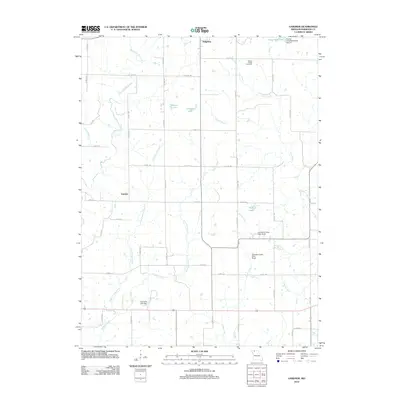 2012 Gardner2012 Print · USGSHarrison County, Missouri, is captured here in the early twenty-first century, showcasing a landscape of small agricultural settlements and extensive water management. Local researchers can locate Yankee Ridge Cemetery or trace the rural routes connecting Ridgeway and Gardner near Polecat Creek.
 - 2012 Map of Cainsville, 2012 Print
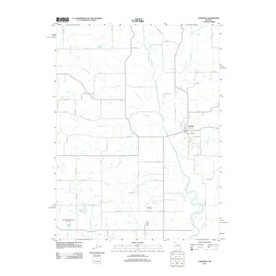 2012 Cainsville2012 Print · USGSCainsville sits at the center of this Harrison County survey, where the river and local roads shaped the early twenty-first-century landscape. Researchers can trace the town's footprint through the Cainsville Post Office and find local burial records at the Bohemian Cemetery.
 - 2012 Map of Gilman City East, 2012 Print
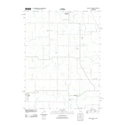 2012 Gilman City East2012 Print · USGSHarrison County farmland meets the winding waterways of the Thompson River valley in this 2010s survey. Genealogists and local historians can trace the rural layout of Bolton and Melbourne while locating historic burial sites like Springer Chapel Cemetery and Gilman Cemetery.
 - 2012 Map of Eagleville, 2012 Print
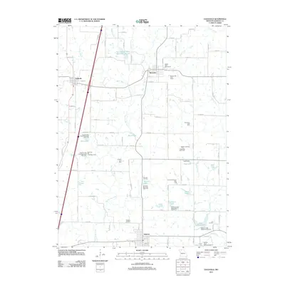 2012 Eagleville2012 Print · USGSHarrison County at the start of the 2010s is a landscape of rural townships and sophisticated watershed management. Researchers can locate ancestral sites at Ridgeway Cemetery and Lilly Cemetery or trace landmarks like Jesse Hale Lake and Blythedale.
 - 2012 Map of Mount Moriah, 2012 Print
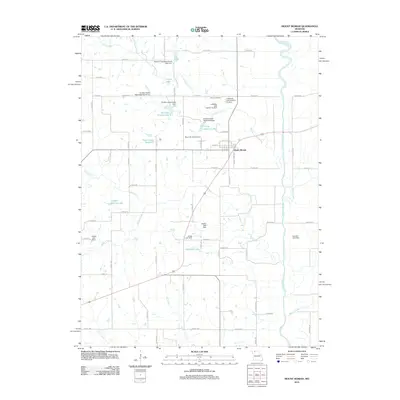 2012 Mount Moriah2012 Print · USGSMount Moriah and its surrounding Harrison County farmlands are documented here at the start of the 2010s. Local researchers can trace family names and landmarks across the countryside, from Stoner Cemetery to Landes-Stanley Lake and the Thompson River.
 - 2012 Map of Akron, 2012 Print
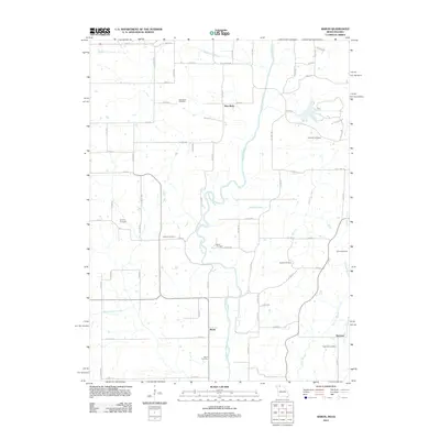 2012 Akron2012 Print · USGSThe Iowa-Missouri borderlands come into focus in the early twenty-first century, showing the rural river valleys of Decatur County. Researchers can trace family history through a high density of burial sites like New Buda Cemetery, Hughes Cemetery, and Eastin Cemetery.
 - 2013 Map of Lamoni South, 2013 Print
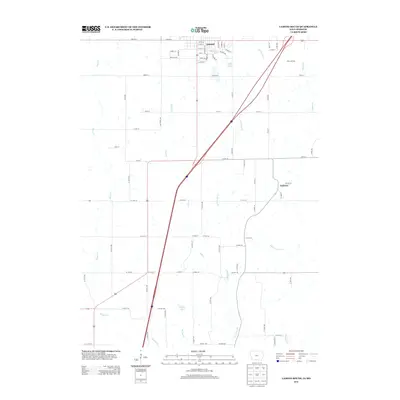 2013 Lamoni South2013 Print · USGSThe northern edge of the Iowa-Missouri border comes into focus in this modern survey of Decatur County and its rural surrounds. Trace the outskirts of Lamoni and the small settlement of Andover, or locate landmarks like Founders Lake and Giles Junction.
 - 2014 Map of New Hampton, 2014 Print
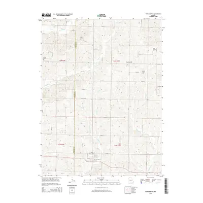 2014 New Hampton2014 Print · USGSHarrison and Gentry counties are captured here in the early twenty-first century, showing a traditional Missouri landscape of small towns and winding creeks. Genealogists can locate family sites near Grace Cemetery, Kidwell Cemetery, and the residential blocks of New Hampton.
 - 2014 Map of Brooklyn, 2014 Print
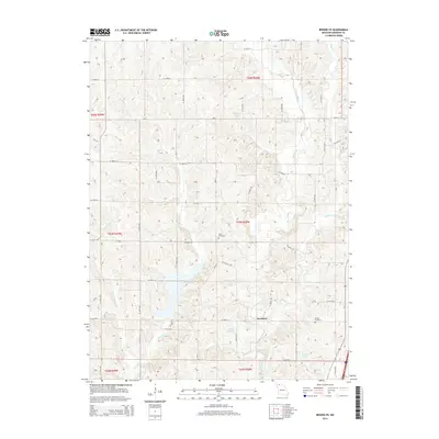 2014 Brooklyn2014 Print · USGSHarrison County farmland is captured here in the early twenty-first century, centered on the community of Brooklyn. Genealogists and local historians can pinpoint family burial sites at Allen Cemetery and Buntin Cemetery or trace the winding course of W Fork Big Cr.
 - 2014 Map of Pawnee, 2014 Print
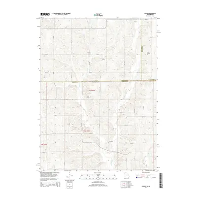 2014 Pawnee2014 Print · USGSThe Missouri-Iowa border comes into focus in this early twenty-first century survey of the rolling hills around Pawnee. Family historians can trace local heritage through numerous rural burial grounds like Mount Zion Cemetery and Patrick Cemetery.
 - 2014 Map of Mitchellville, 2014 Print
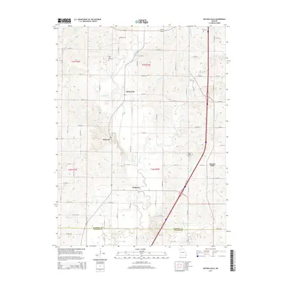 2014 Mitchellville2014 Print · USGSNorthwest Missouri in the early twenty-first century reveals a landscape defined by the intersection of rural heritage and natural drainage. Genealogists and local historians can trace family locations near Mitchellville, Mount Olive Cemetery, and the banks of Polecat Creek.
 - 2014 Map of Hatfield, 2014 Print
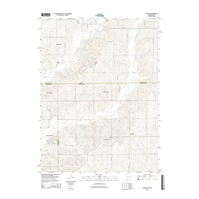 2014 Hatfield2014 Print · USGSThe Missouri-Iowa border comes into focus in this mid-2010s survey of the rural townships north of Eagleville. Genealogists and historians can trace family locations near Hatfield and several burial sites like Oakdale Cemetery and Ringgold Cemetery.
Showing maps 1-25 of 52
Top cities of Harrison County
- Bethany historical maps
- Ridgeway historical maps
- Cainsville historical maps
- New Hampton historical maps
- Eagleville historical maps
- Blythedale historical maps
See more
Frequently asked questions
- What are the different types of historical maps available for Harrison County?
- What is the oldest map of Harrison County?
- Where can I purchase historical maps of Harrison County for my home or office?
- Where can I download high-res historical maps of Harrison County?
- Are there historical topographic maps available for Harrison County?
- Is there historical aerial imagery available for Harrison County?
- Where are historical maps of Harrison County sourced from?